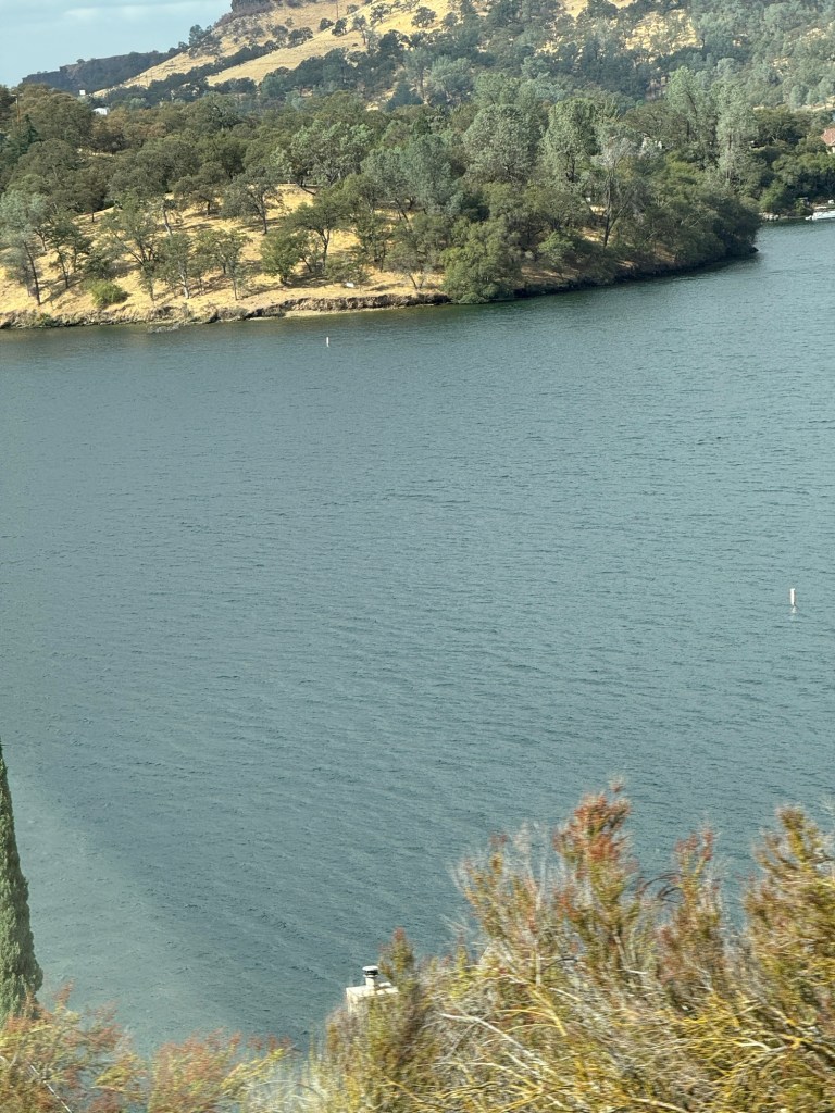
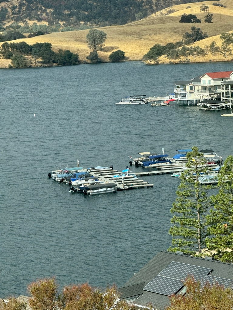
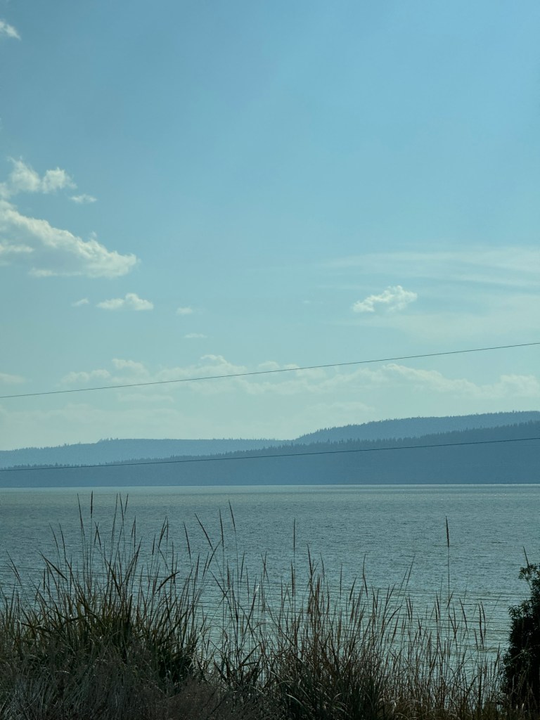
Copperopolis is a small town we stopped at for a coffee and cake on the way to Yosemite west entrance. It had a lake, lake Tullouch
We had passed countryside full of small tree orchards maybe nut trees.
The lady who served us said she had lived there for 30 years and no fires until a recent one. But they were all safe thank goodness
There were banners saying thanks to the firefighters.
The old Mexican men sitting outside said snow in Yosemite. They tried to speak with an English accent” good day today”😂
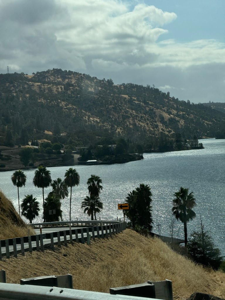
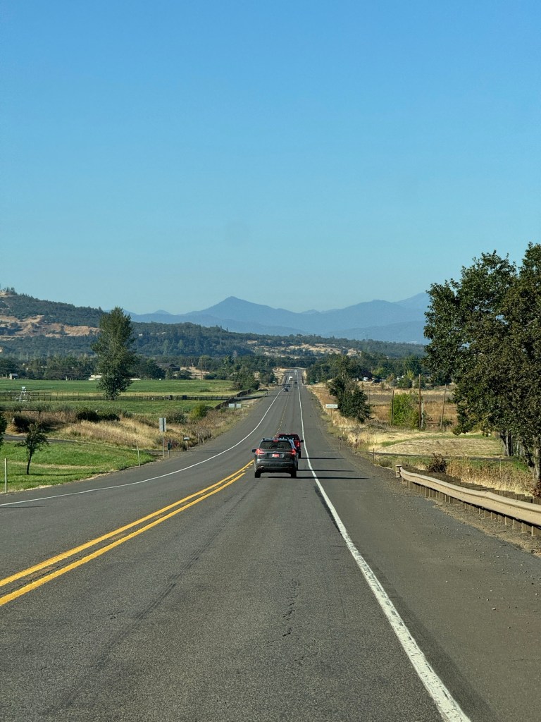
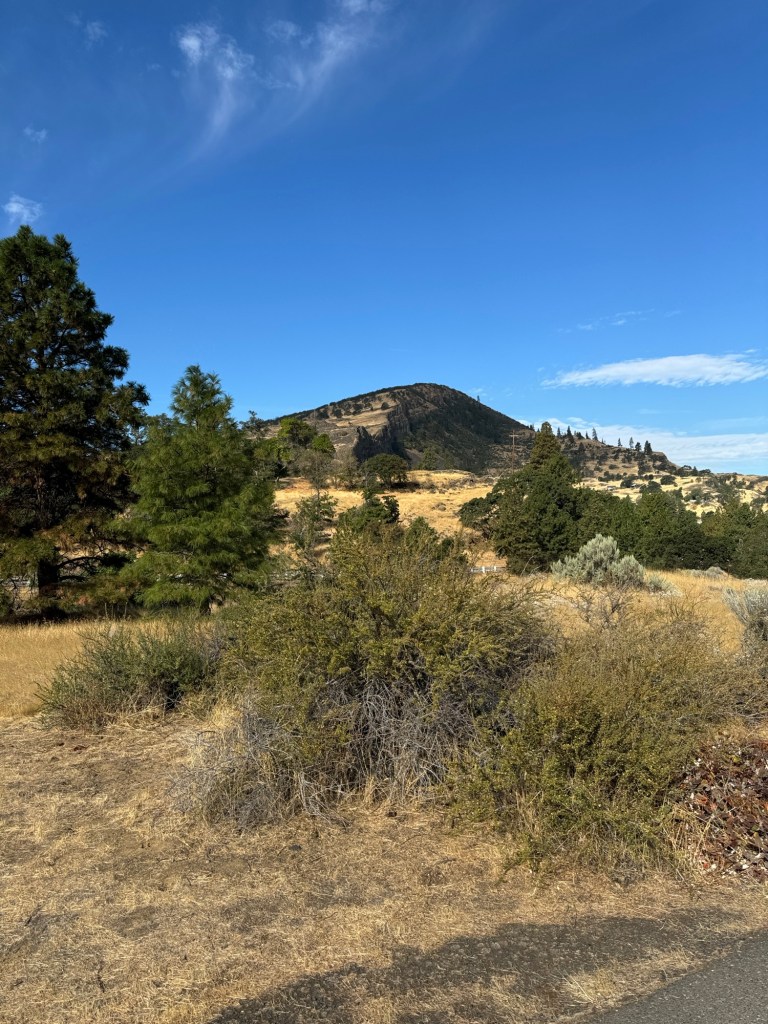
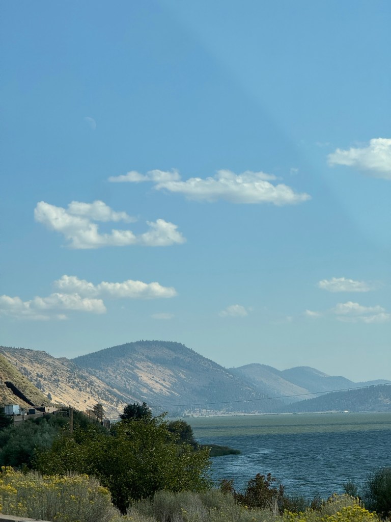
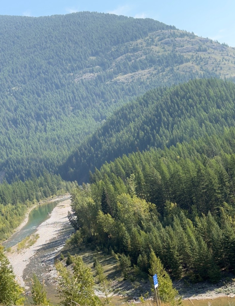
We were in The foothills of the sierras
As we started to climb there were steep hairpin bends and so we took them very slowly letting faster cars overtake!
The views were scarily lovely. At the top it was small hills and more comfortable driving. We just paid $40 for 2 coffees and a mug! How much was that mug? Hope we don’t break it!
At the entrance to the park a sign said winter weather Monday through Thursday
We are here until Saturday oops
A very young ranger marked our map to show us where not to miss. He suggests where to go tomorrow as he can’t promise conditions for the following days to reach up there!
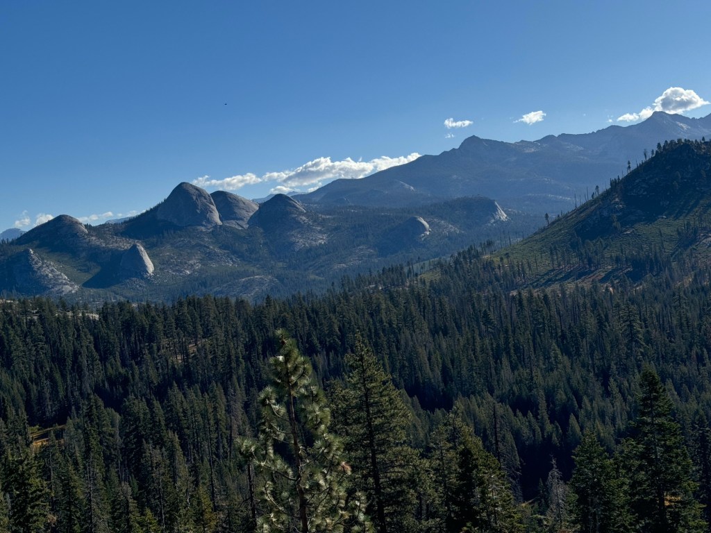
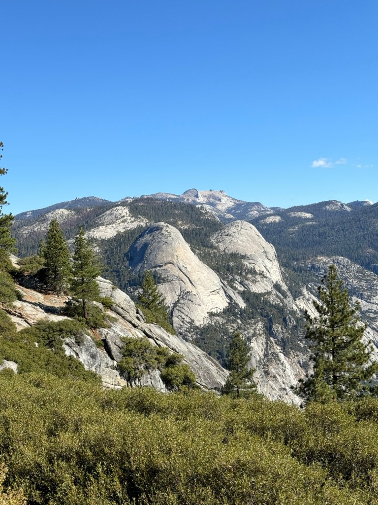
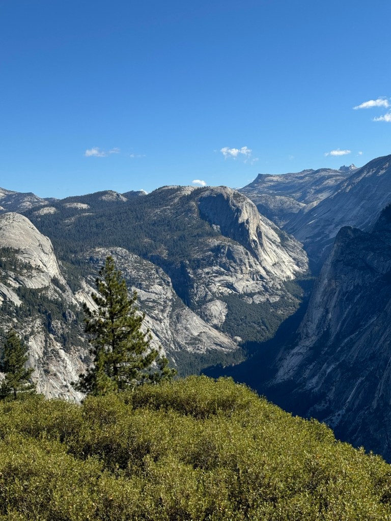
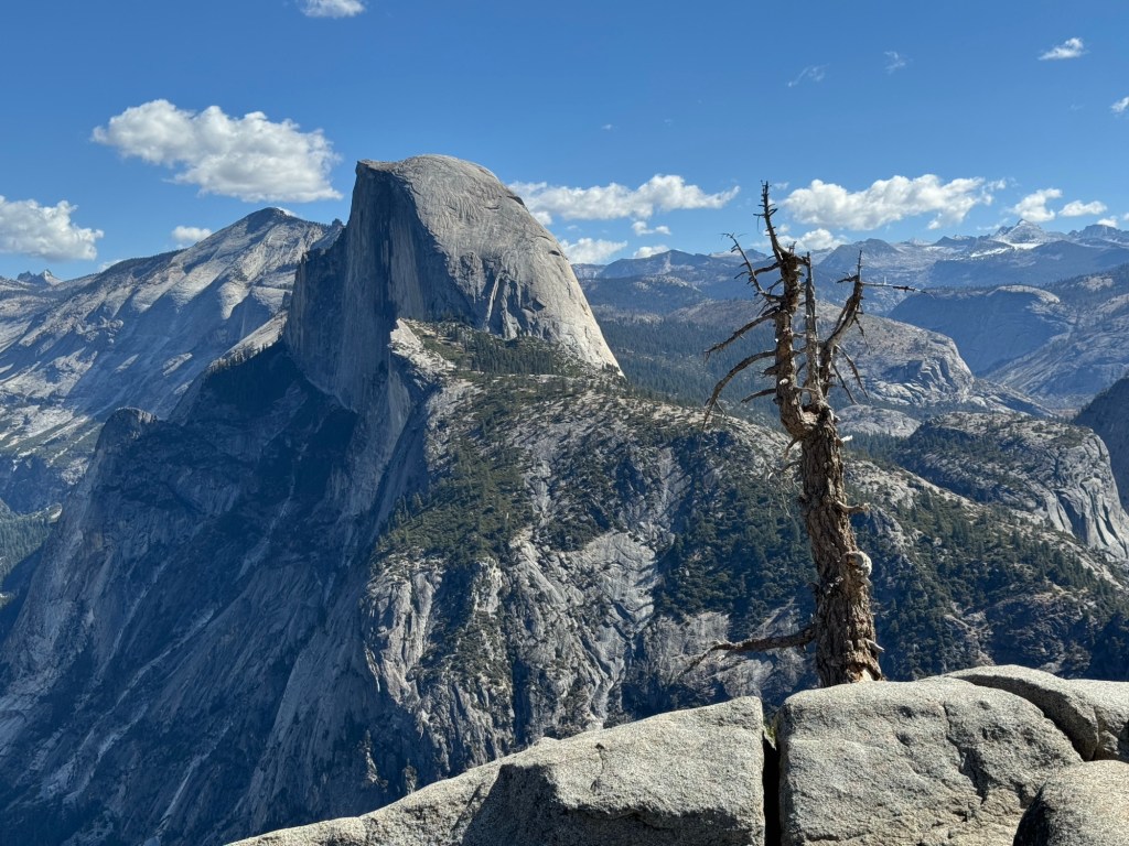
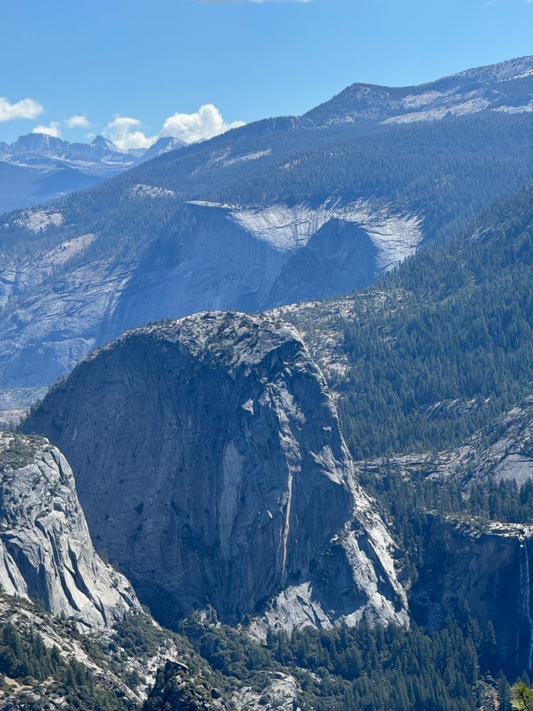
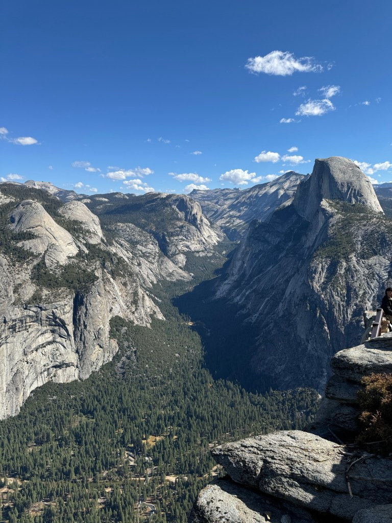
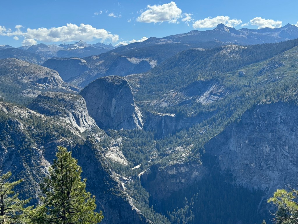
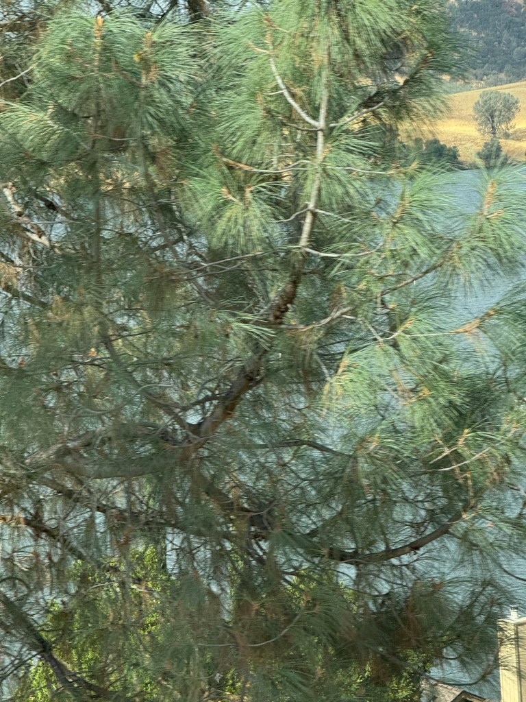
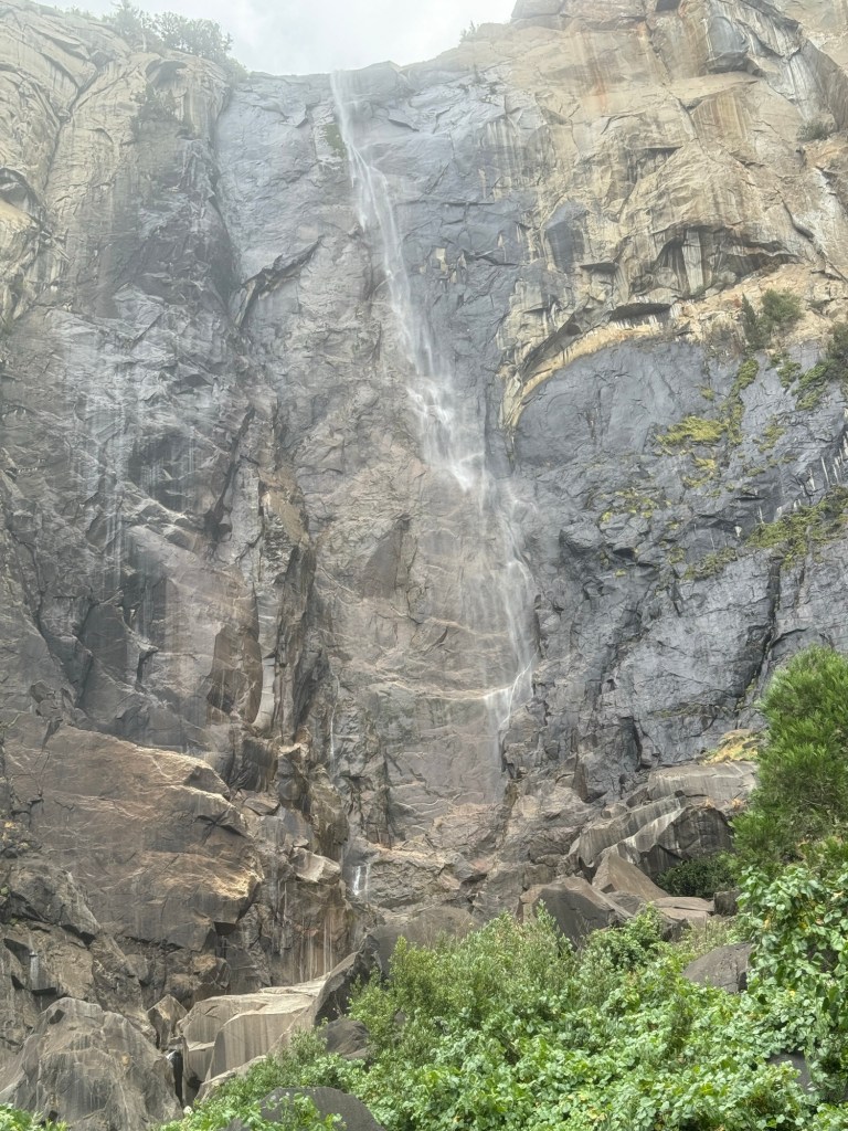
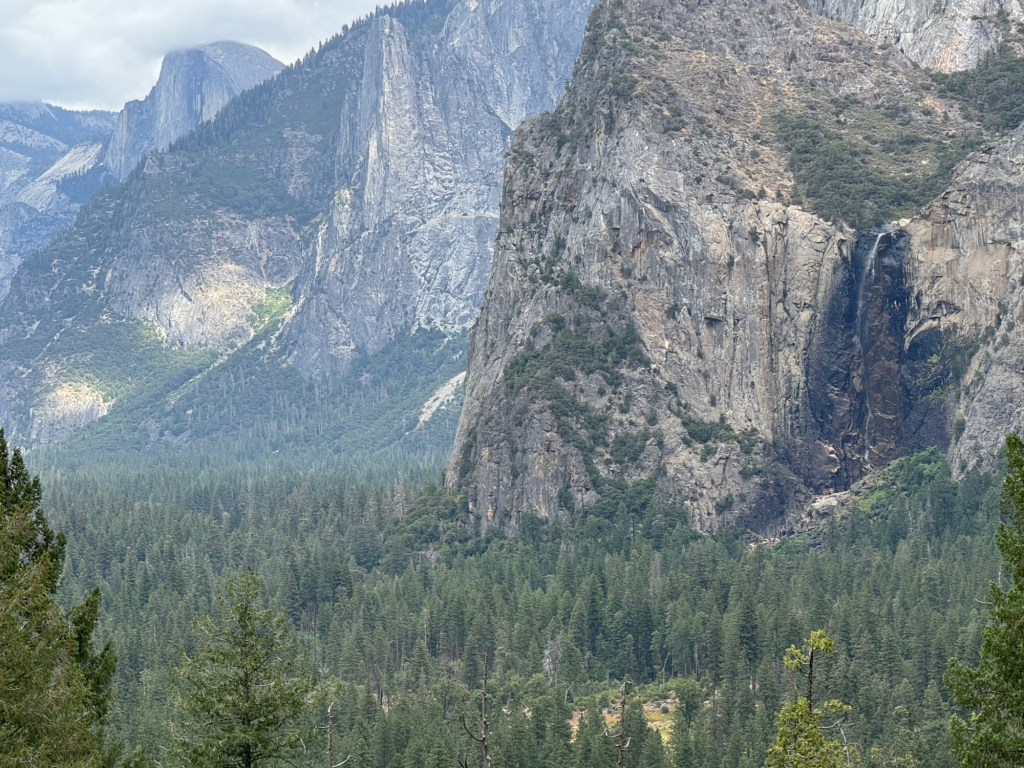
But the area we are exploring now seems safe driving and we are seeing all the big trees again. We are both so happy to be here at last.
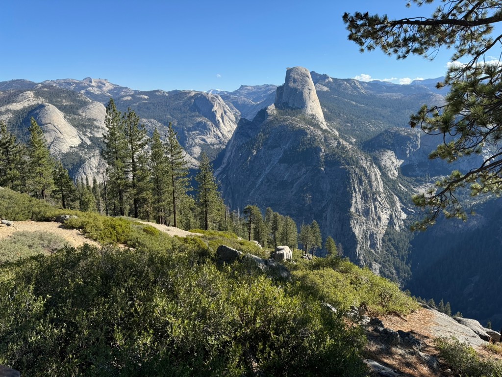
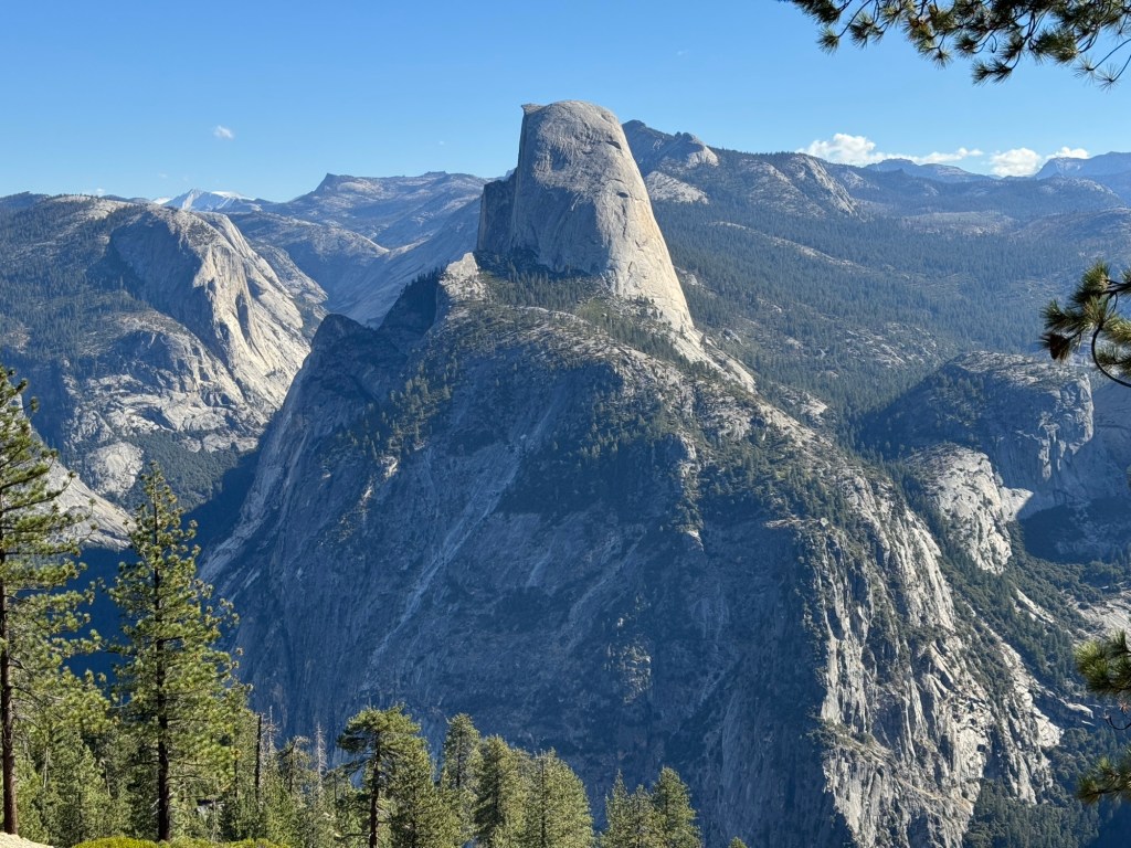
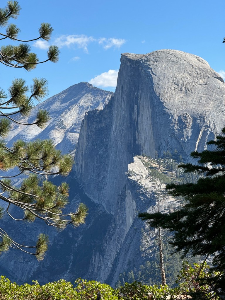
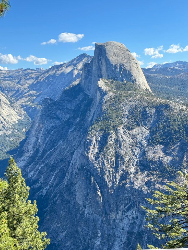
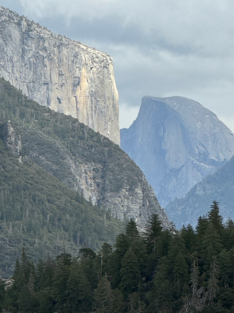
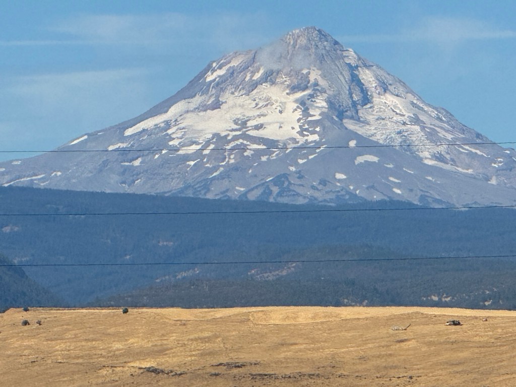
We took our first pic of the half dome from a viewing point. The sun obligingly shone on the rocks
As we left our hotel on the 101 route it said this!
Journeying through California towards Yosemite
We followed the red trees route 101 through many miles of fir trees and found the road to be very windy following riverbeds
Further south the road was straighter but not easy very bumpy and no one keeping to the 65mph speed limit
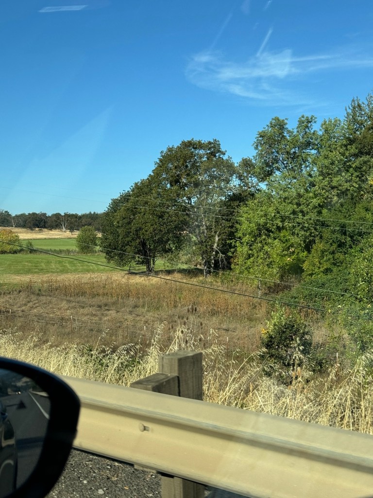
We saw many birds of prey and some vineyards, orchards, pick your own fruits, strawberry fields. The grass was yellow and no longer the tall trees.
We stopped for a coffee in a warm wind like a hairdryer’s. We were now on more populated areas of California lots of Mexican music rather than country music 🤣 and a few palm trees
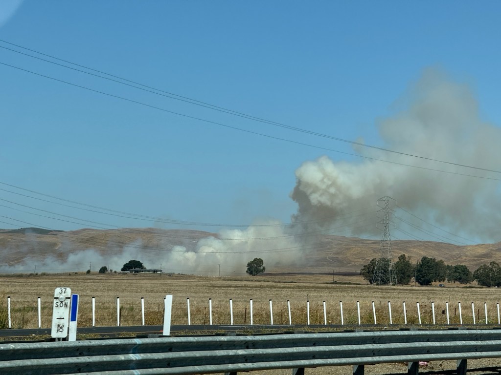
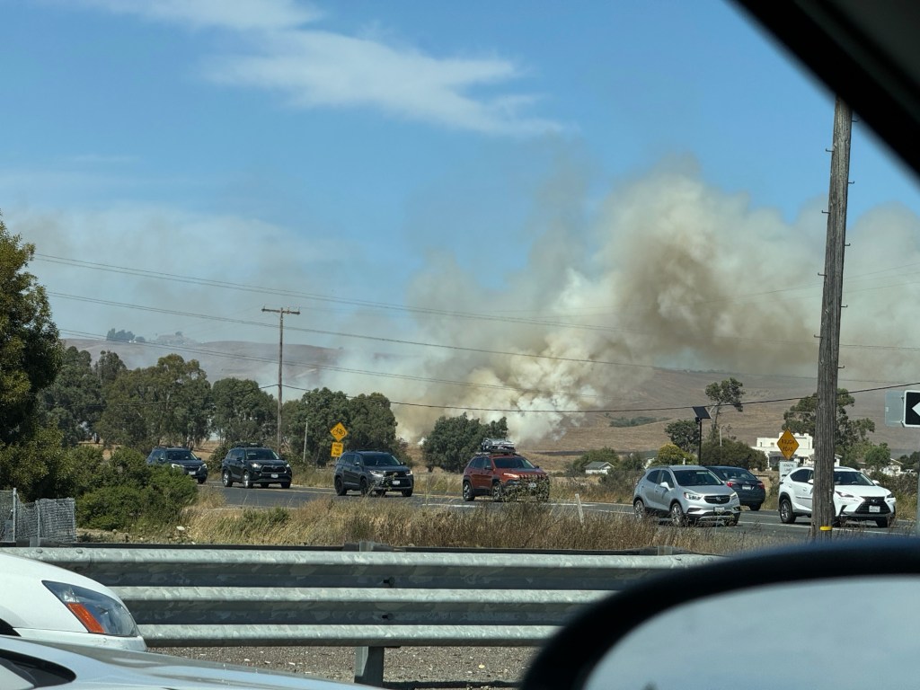
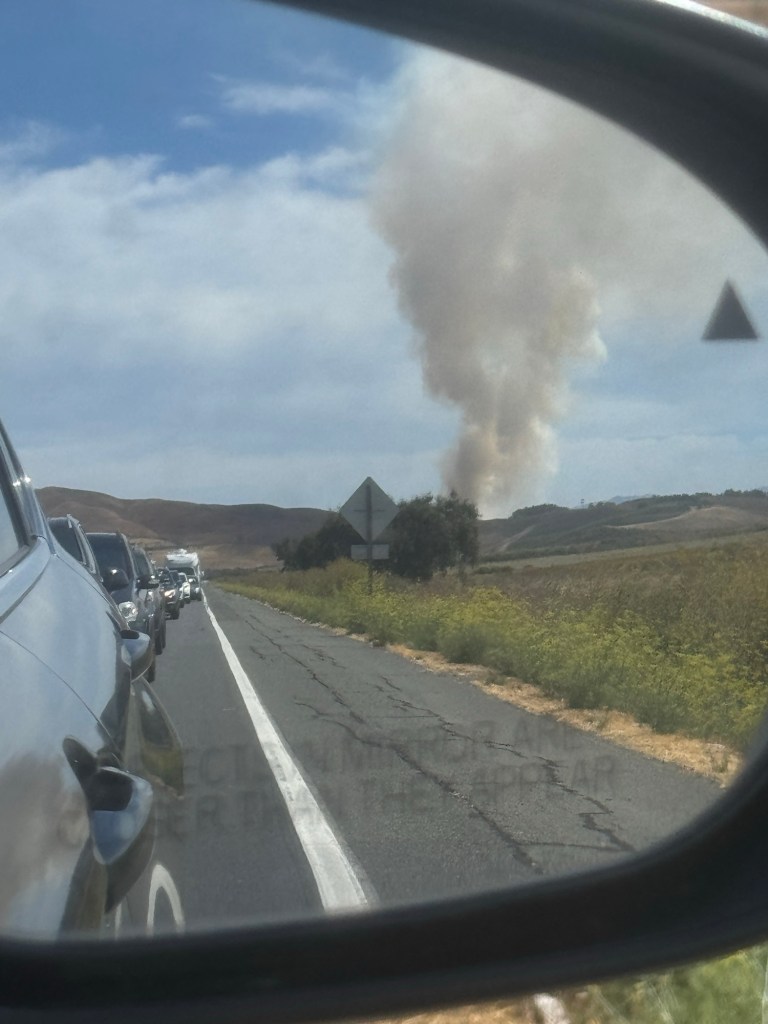
We passed a grass fire on a hillside near houses
We now met the smoke again and passed a grass fire close to our route. It was smoky all over the hills and valleys and towards Stockton where we were headed
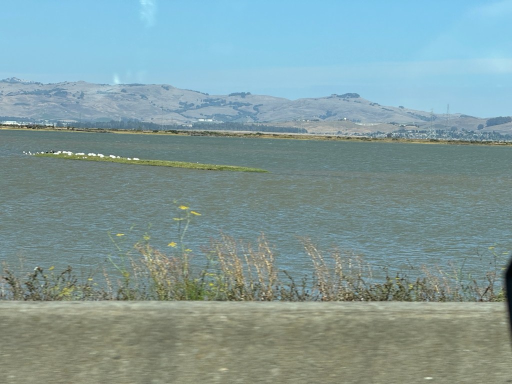
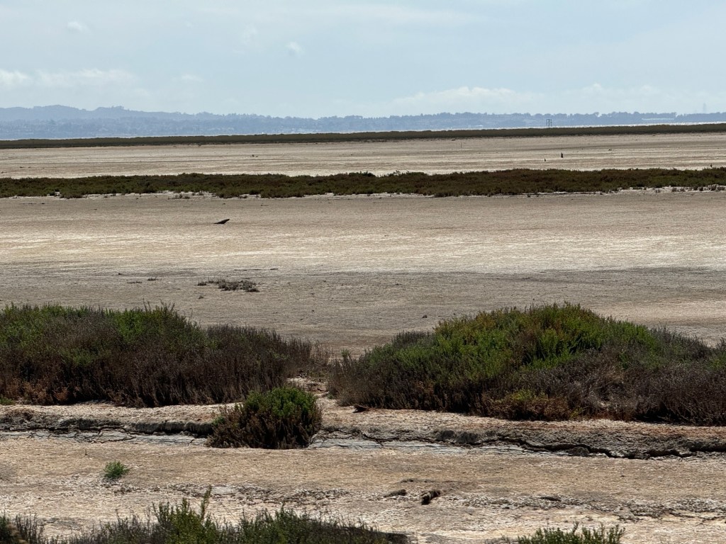
San Pablo bay was a bird watchers paradise
We saw large birds of prey and egrets flying over close to our car
We were crawling along in a jam of vehicles
Stilts, egrets, a pelican, all on huge marshlands
We stopped for petrol and it was hot 75*f.
Not far to go now and much more traffic than we’ve been used to
We passed acres of farmland with thousands of wind turbines on them.
Our hotel is for one night only as we have a lodge to live in in Yosemite from tomorrow.
My photos are all from my phone through the car window as we travelled xxx
Here are some of my photos taken on my mobile phone and a video if it works!
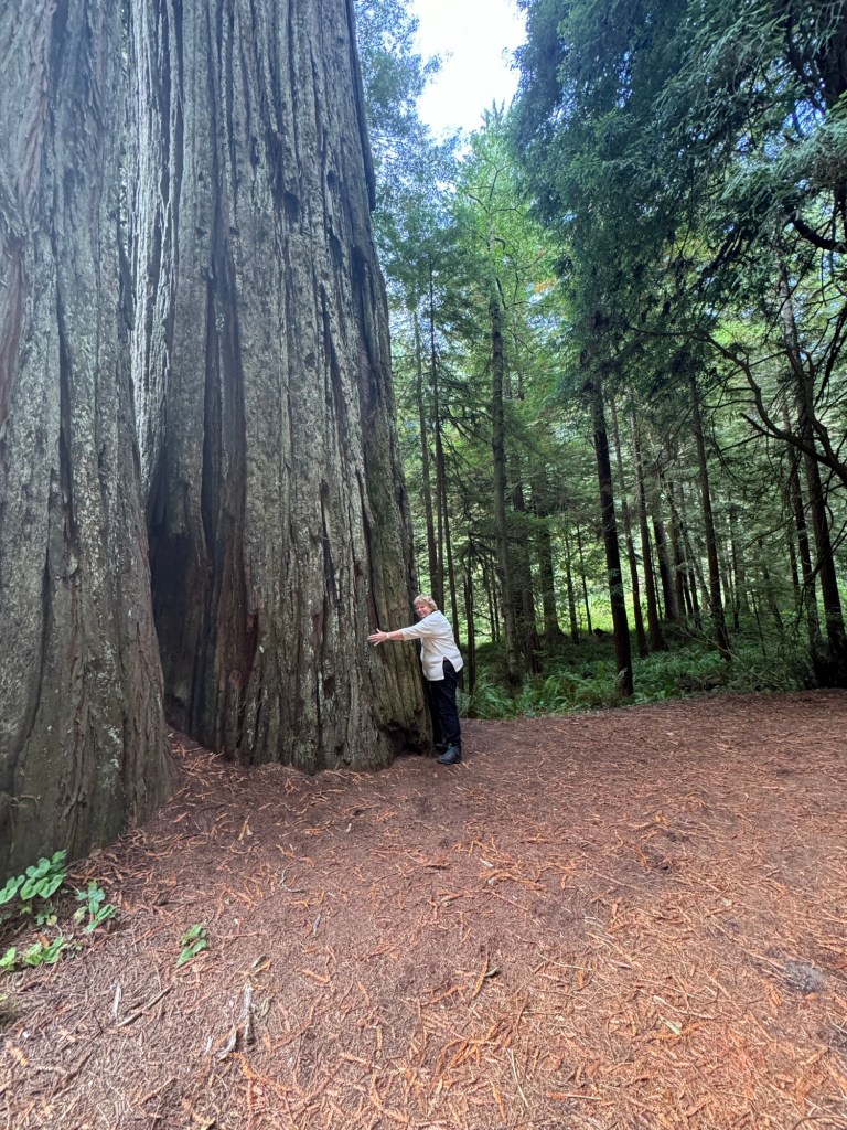
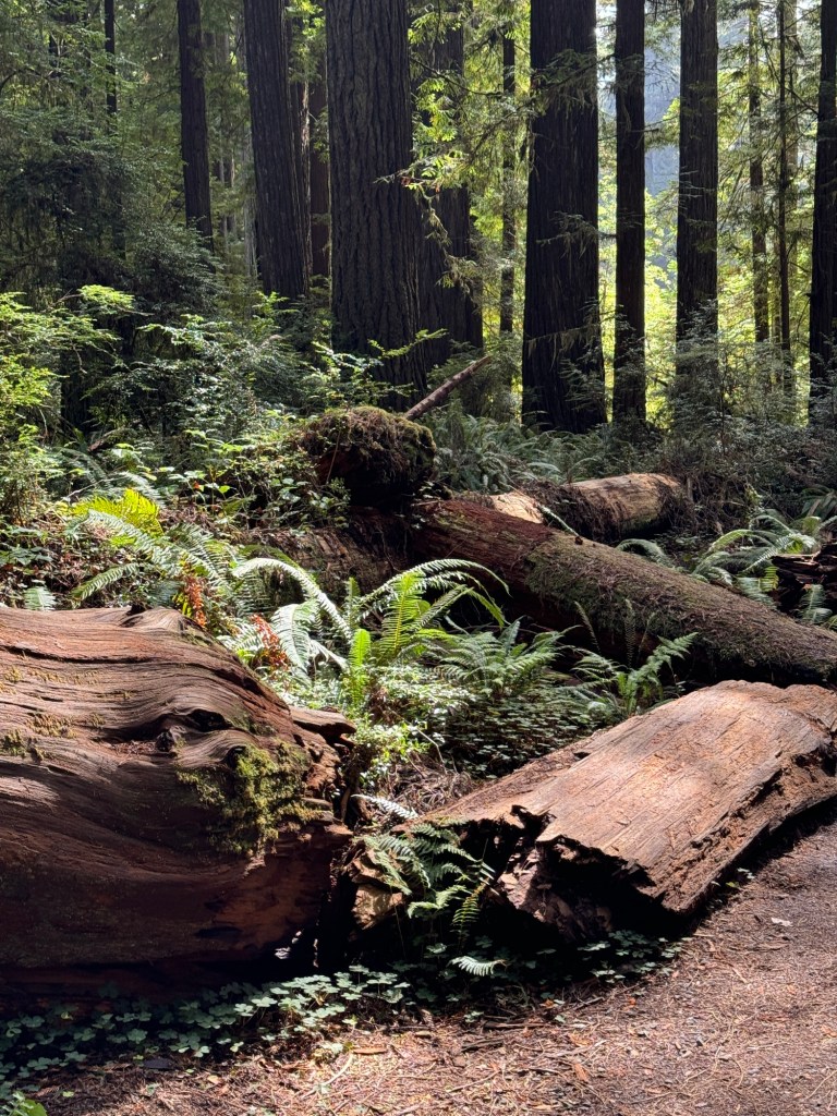
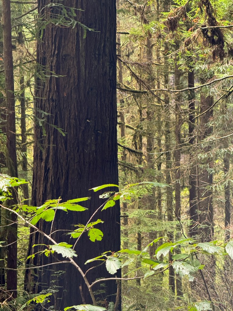
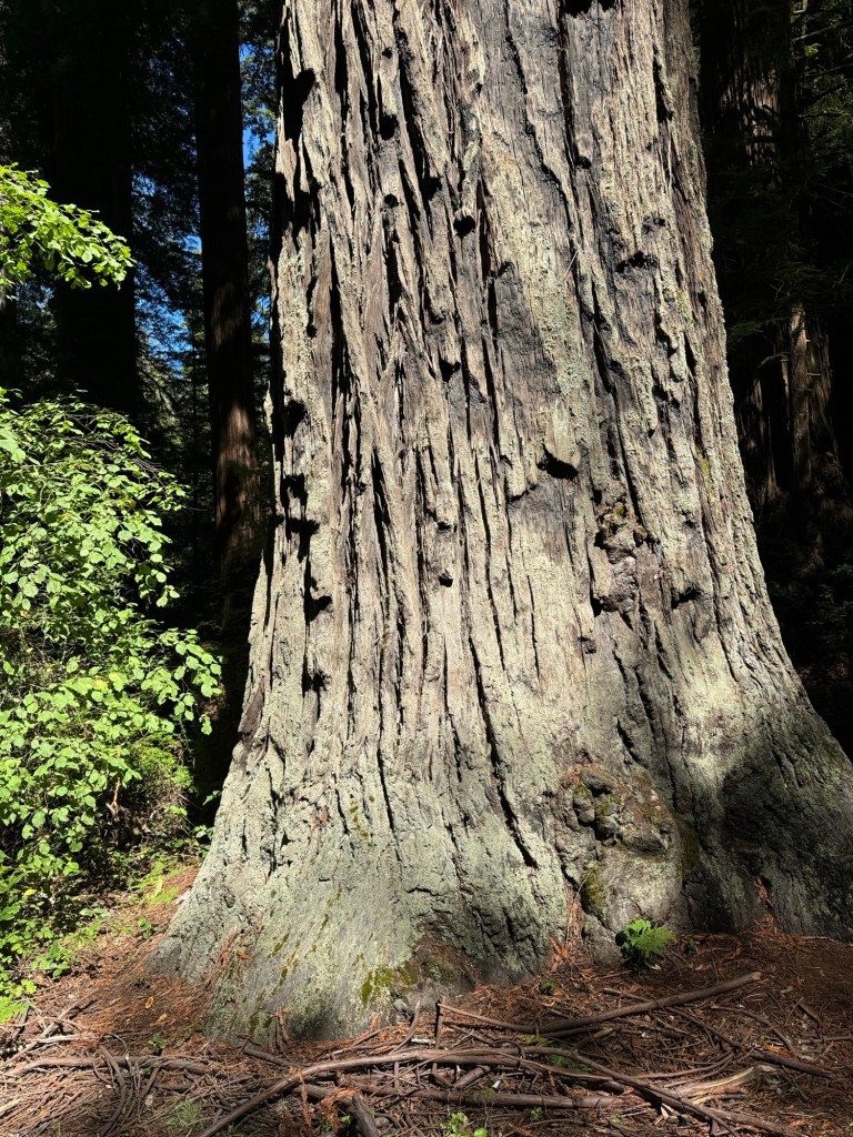
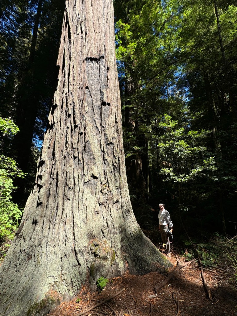
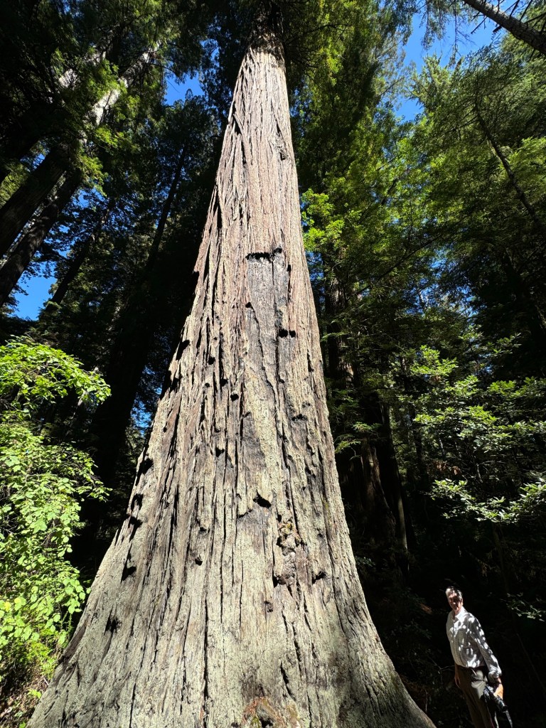
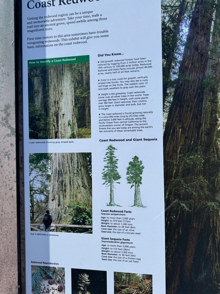
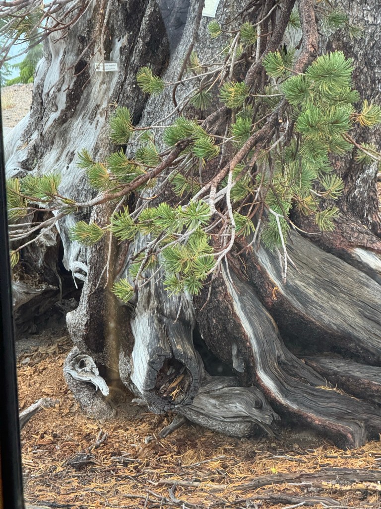
All I can say is walking through giant trees makes you feel tiny and insignificant in comparison. It was almost impossible to capture the whole tree as they were so tall.
You all need to come to experience them the photos give you an idea. They are gigantic and hundreds of years old .
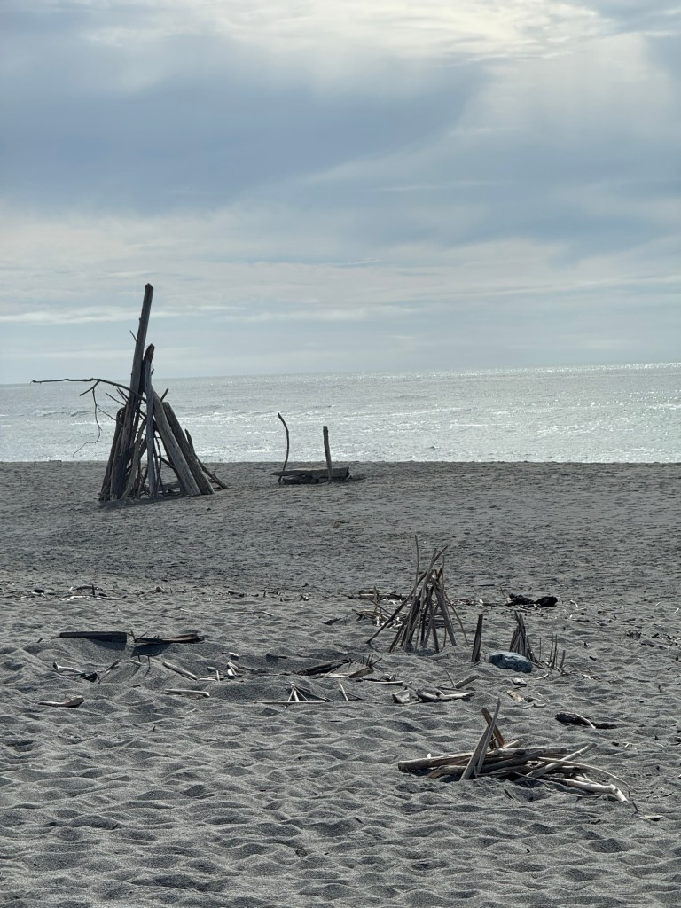
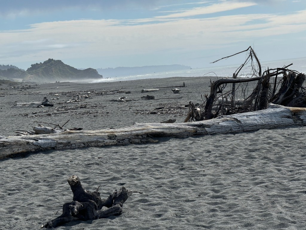
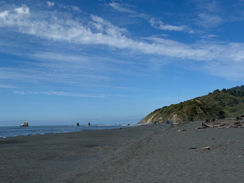
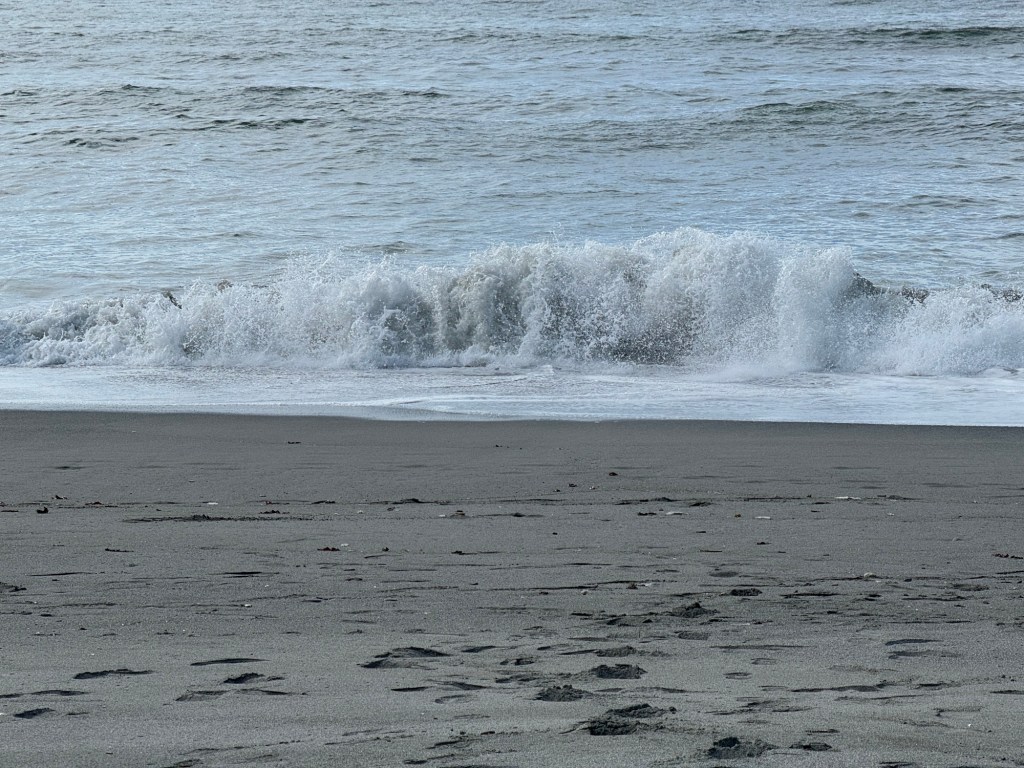
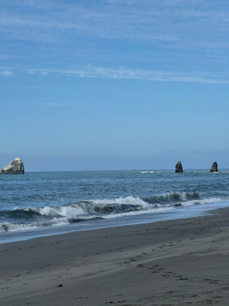
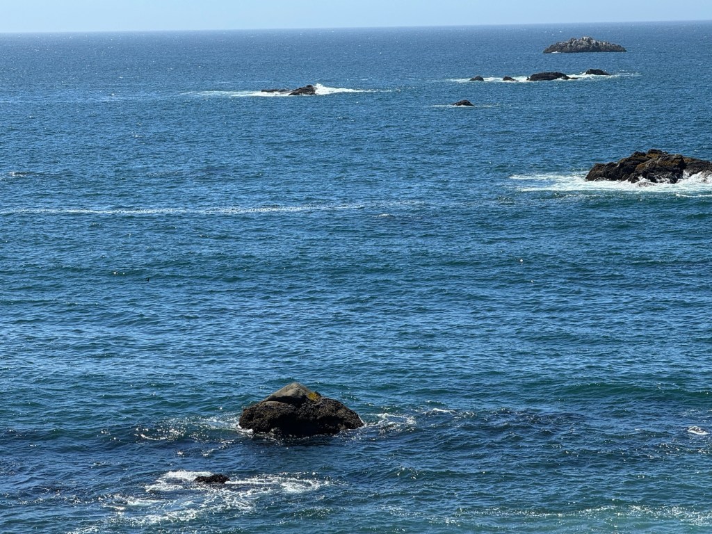
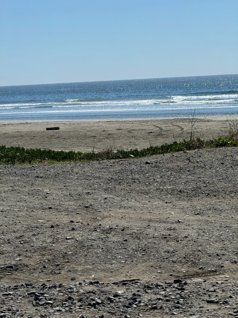
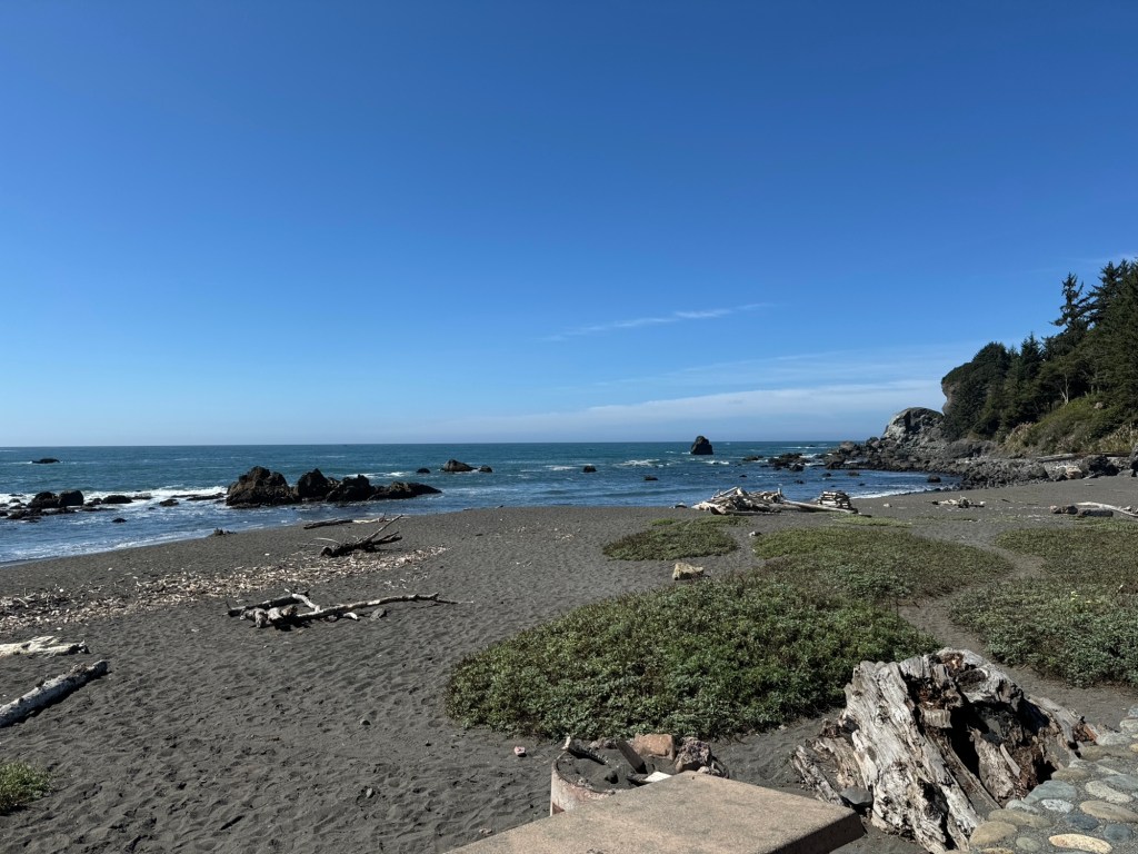
Also the north Californian coastline with grey sands. It’s cool here at the moment but a nice change from the heat we’ve been in.
North California has a unique beauty of its own.
We looked around eureka old town and harbour before we returned to our hotel
PLEASE NOTE
We move on tomorrow and it will be the last day for WiFi for a week so don’t worry we are ok just not able to communicate
I will write my blog but won’t be able to send it until we leave Yosemite. A WiFi free birthday for me!
On leaving Klamath falls we realised how lucky we had been as we woke up to smoke everywhere. The rain and wind 2 days ago had cleared it while we were here and now the smoke was back.
As we travelled up the west side of the lake
We saw a pelican and a great blue heron. Egrets cormorants and gulls ducks geese all along a floating harbour chain
We travelled extensively through a forested volcanic area for miles ( along the 140.)we passed the brown mountain lava field.
There were lakes and ski stations and campgrounds until the landscape changed.
We descended the cascade mountains and we found that now we had fields and deciduous trees cattle and horses.
We stopped at a Starbucks for coffee to keep us awake 😉
by then the smoke had cleared.
Next we arrived the highway 5 then left at grants pass to join the 199 south to the redwoods and crescent city.
We crossed the border to California “ have you any produce with you”. no ….well actually we had 2 bananas 😉
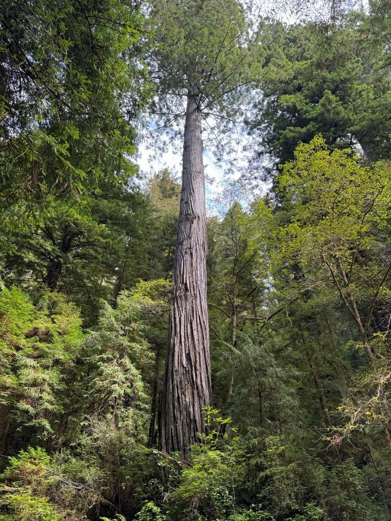
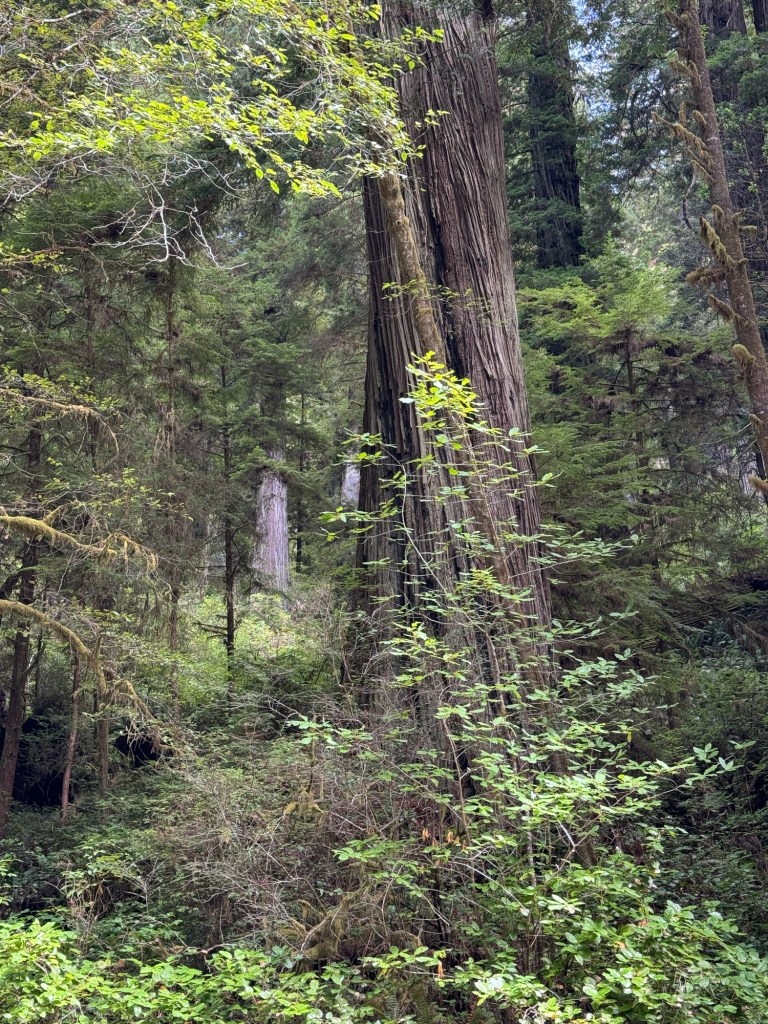
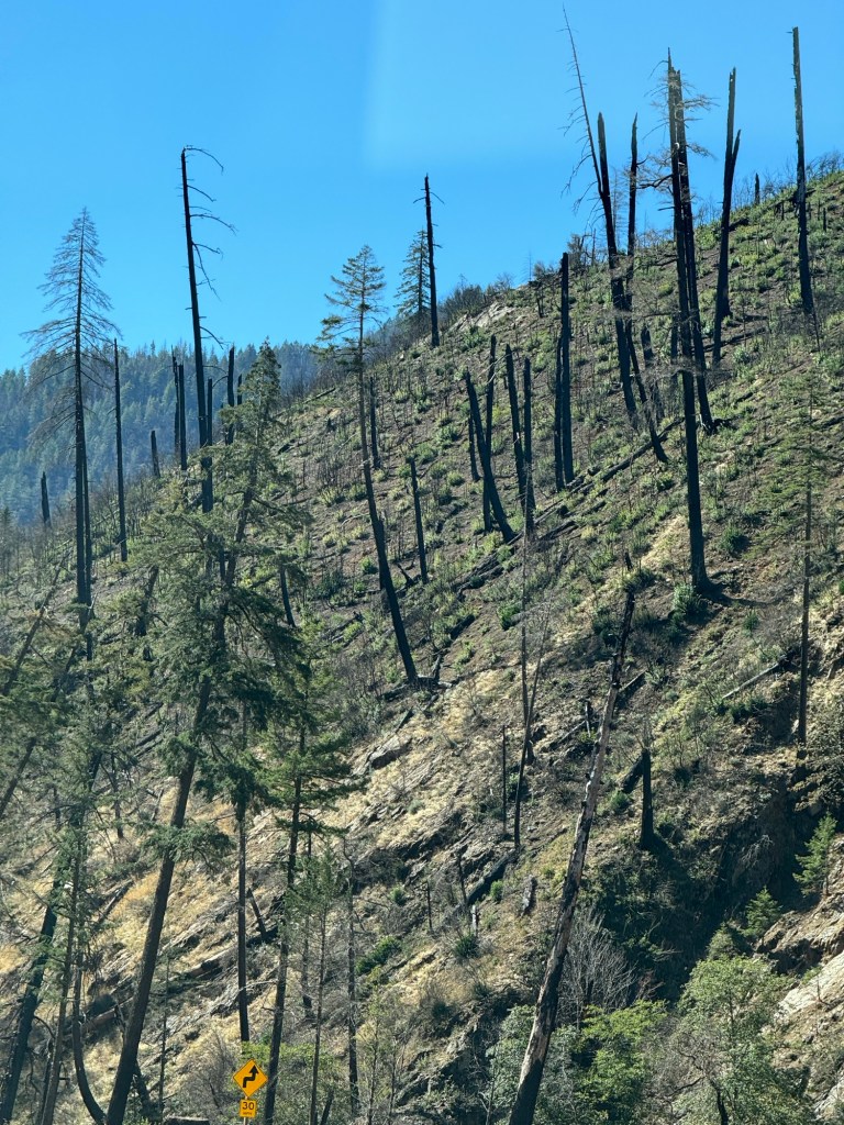
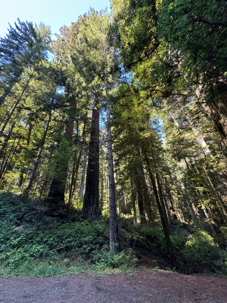
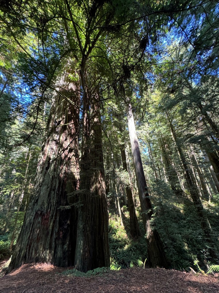
Now we found giant trees and also fire damaged hillsides
They are giants so gigantic it makes
You feel so small
The road winds through and around them
What a sight!
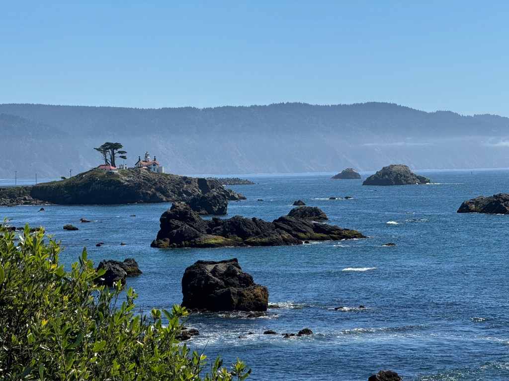
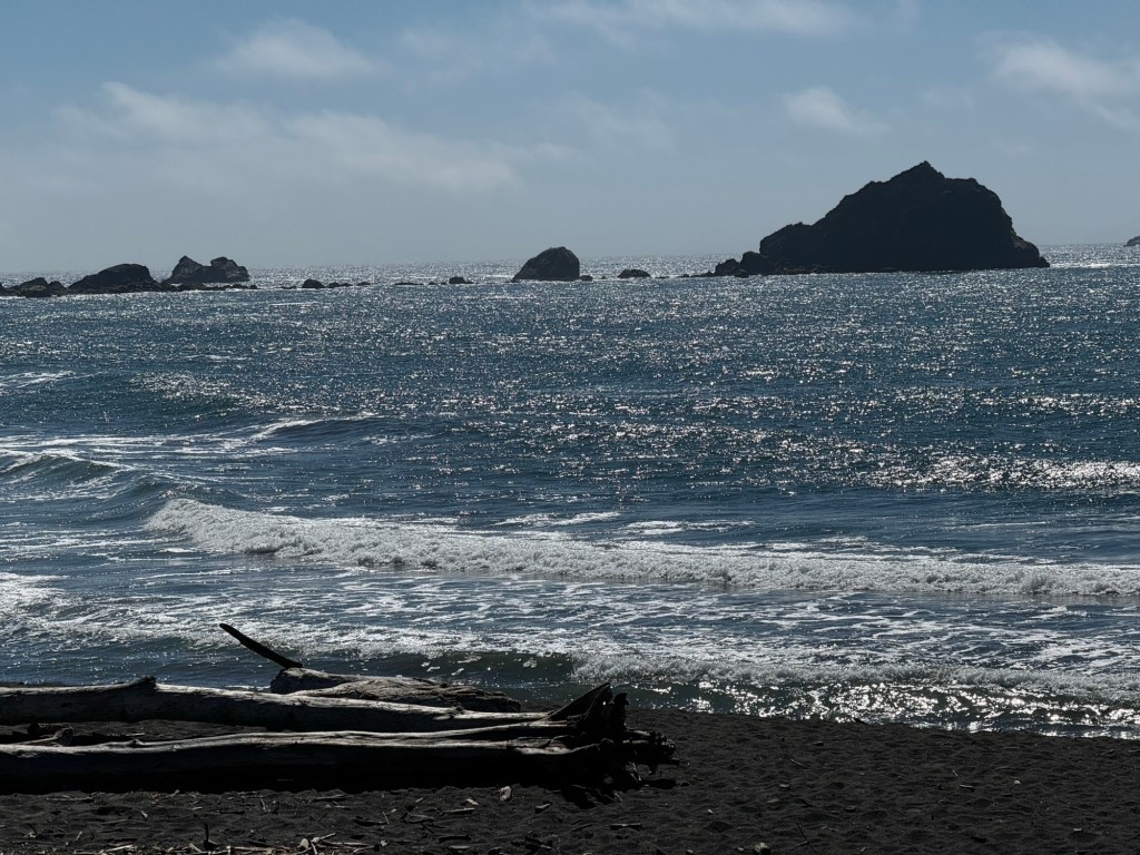
We stopped briefly to see the pacific coast in crescent city and battery lighthouse in the distance
Then returned to our route to eureka on the 101 coastal highway
It is called the redwood route and is the redwood national park and it follows the coast line closely so you get amazing views
over the ocean.
So now we are in Eureka California for 2 nights before we head for Yosemite national park.
We had a good journey and stopped saw some sights too so we had made a day of it.
Woke up to a much better day sunshine and clouds but fresh and clear 48*f
( sorry they only do Fahrenheit in USA )
As we have travelled up the side of the long Klamath Lake we have spotted pelicans flying on a v formation, egrets, herons, deer, geese , cormorants,swans and birds of prey
It is wetlands and marshy.
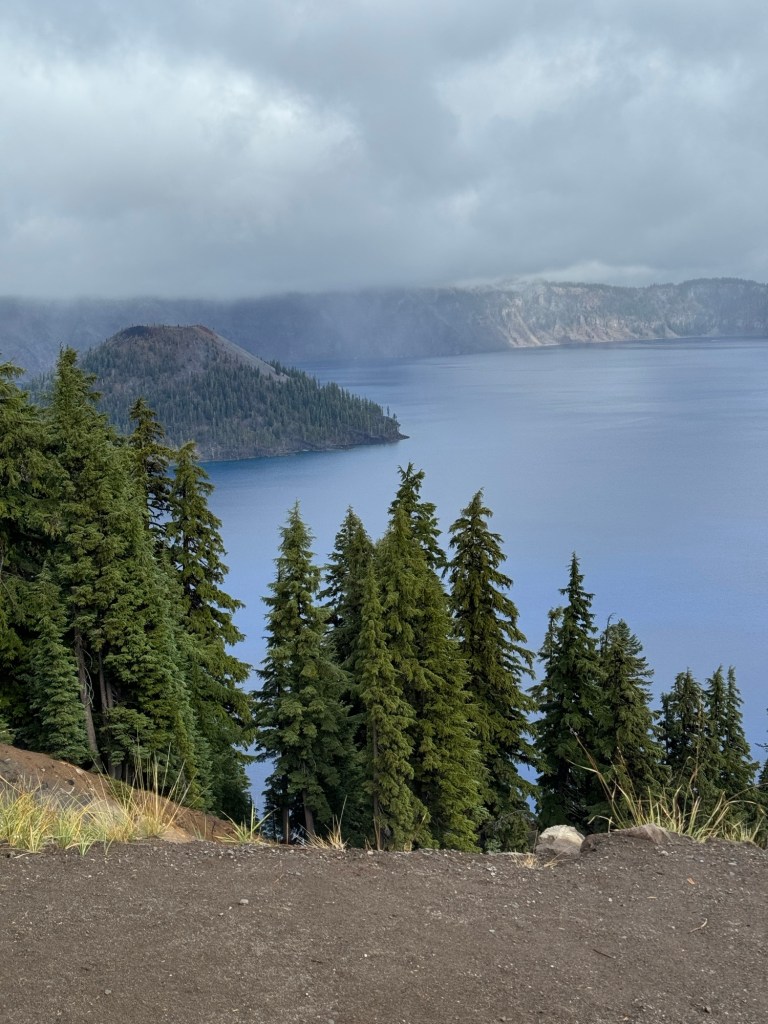
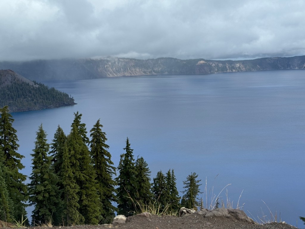
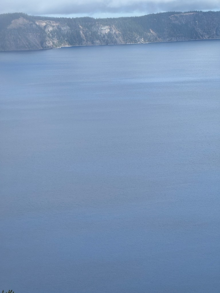
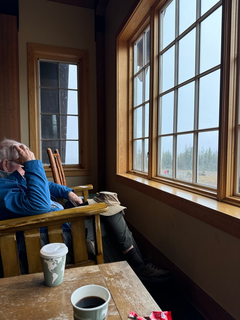
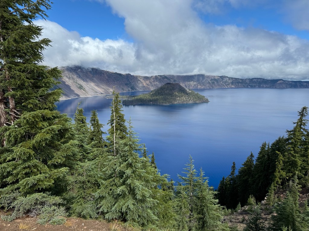
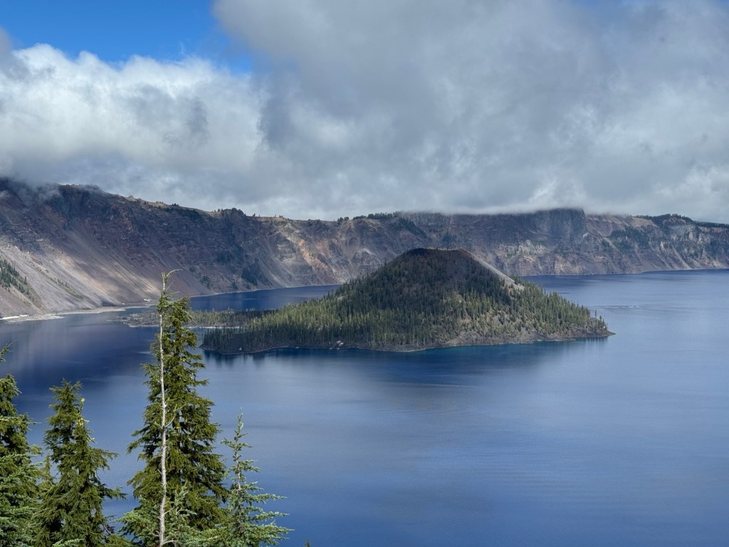
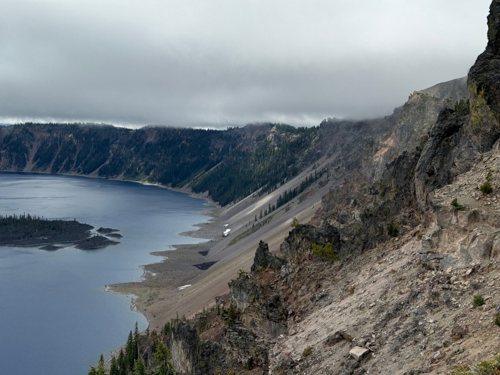
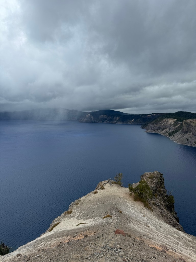
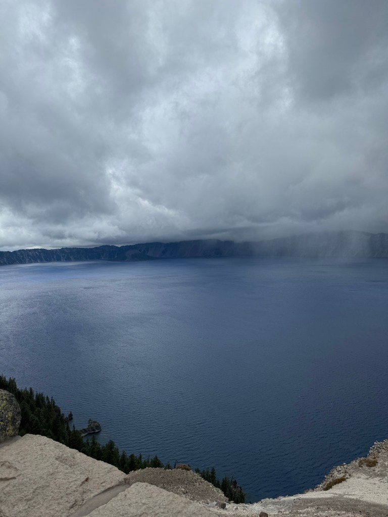
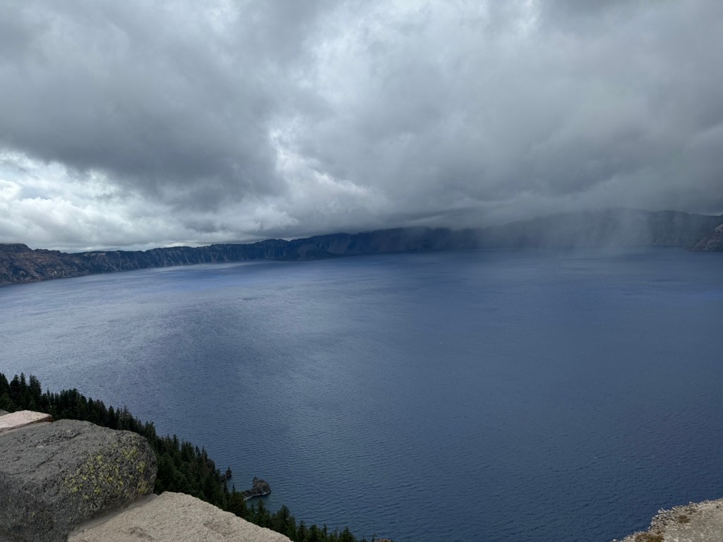
Oh dear up at the rim of crater lake it was 39*f cloud level and although not so windy as yesterday you were lucky to see everything or anything depending on the conditions. But at least it wasn’t pouring down with rain. It was cold up there again .
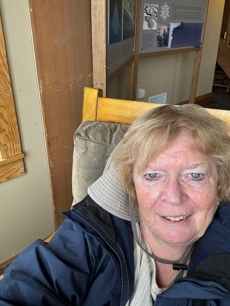
We stopped at the lodge and viewed the lake from upstairs sitting in rocking chairs 🤣
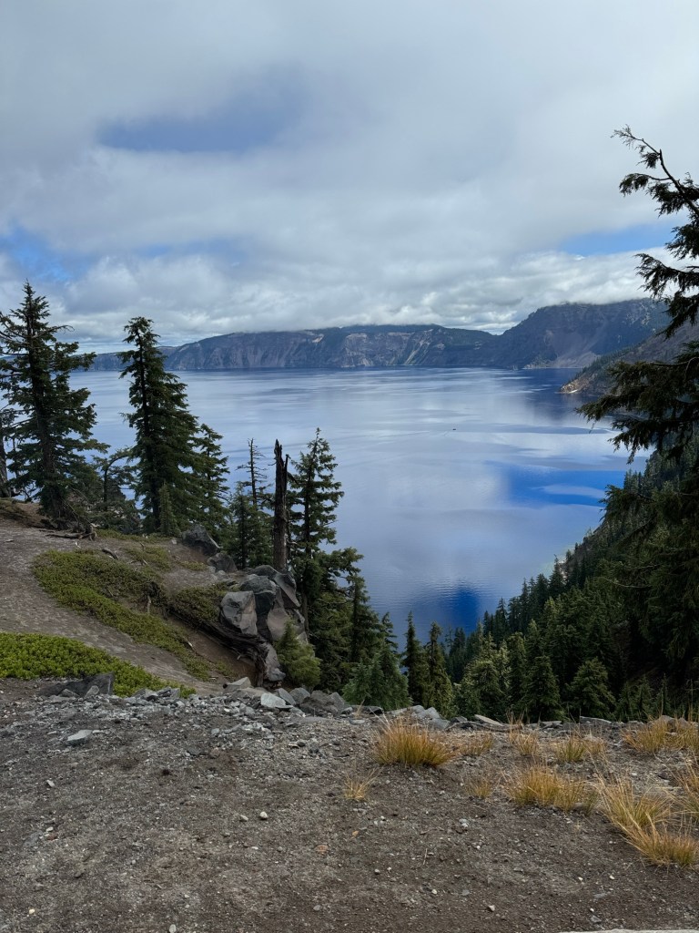
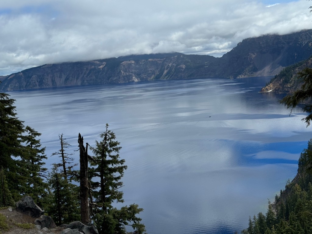
Then in the couple of hours we were up there it changed all the time and colours sun and shadows changed
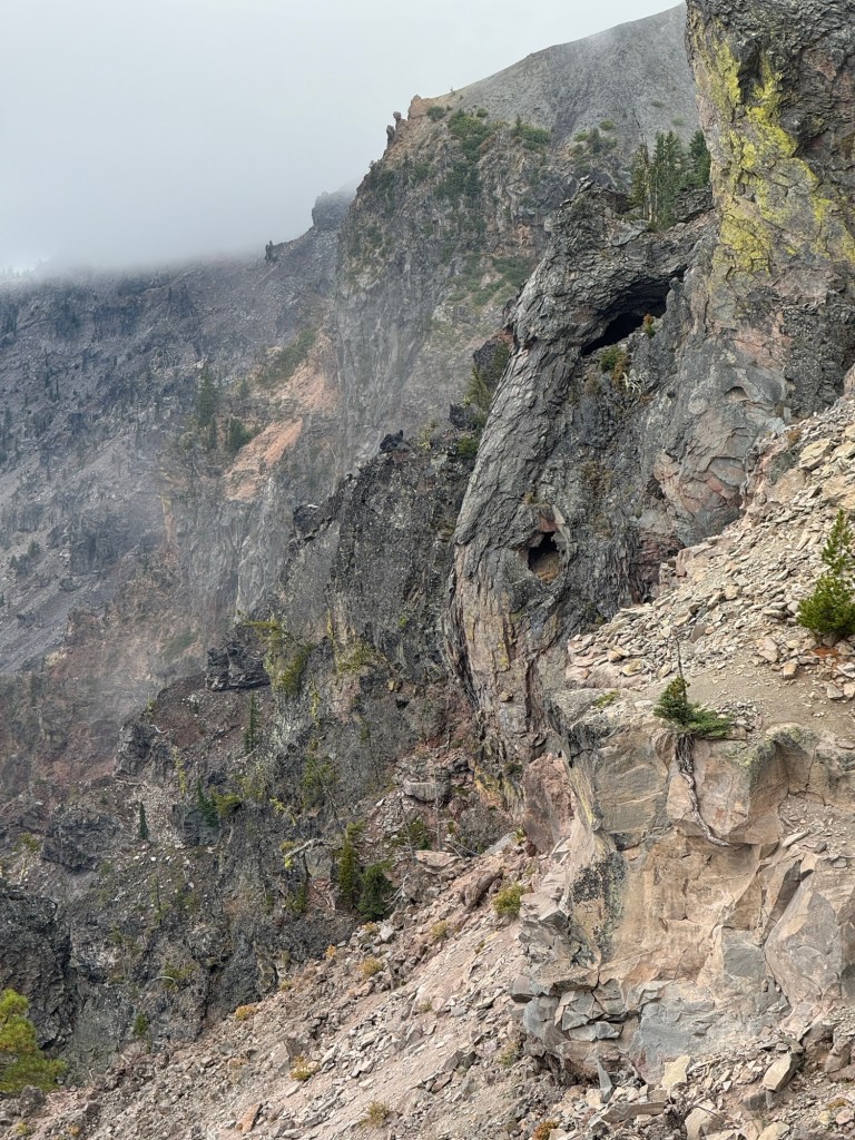
We walked a small way along the rim viewing wizard island.
On the way down on our return the temp was now 50*f and sunshine away from the chilly mists.
We learn about fossilised steam… never heard of this!
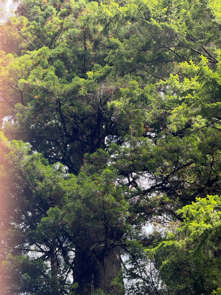
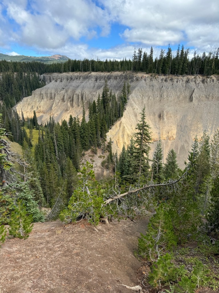
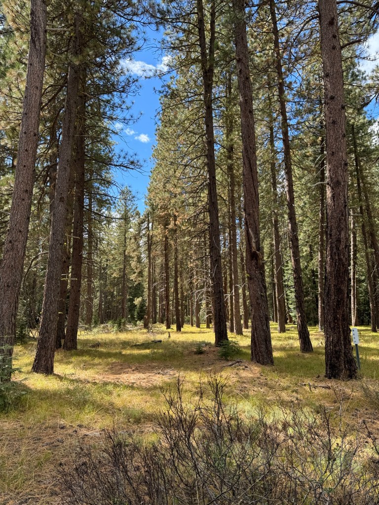
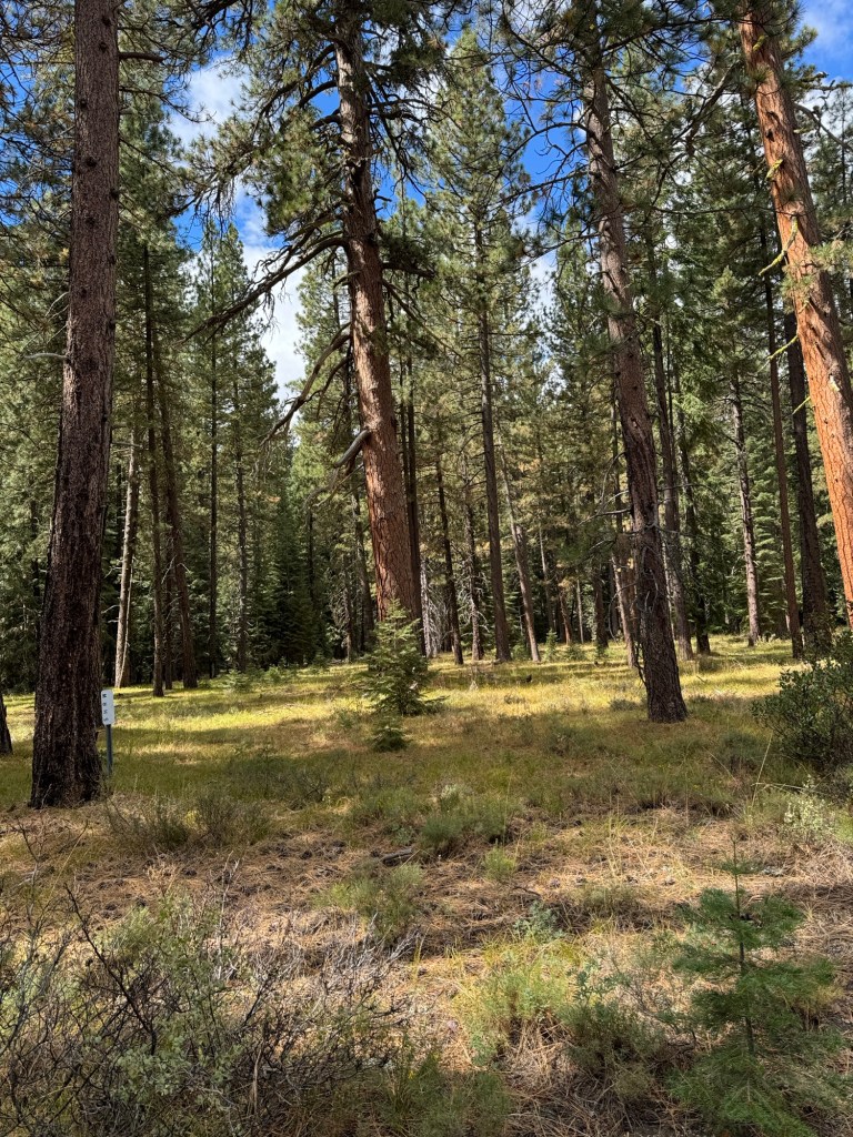
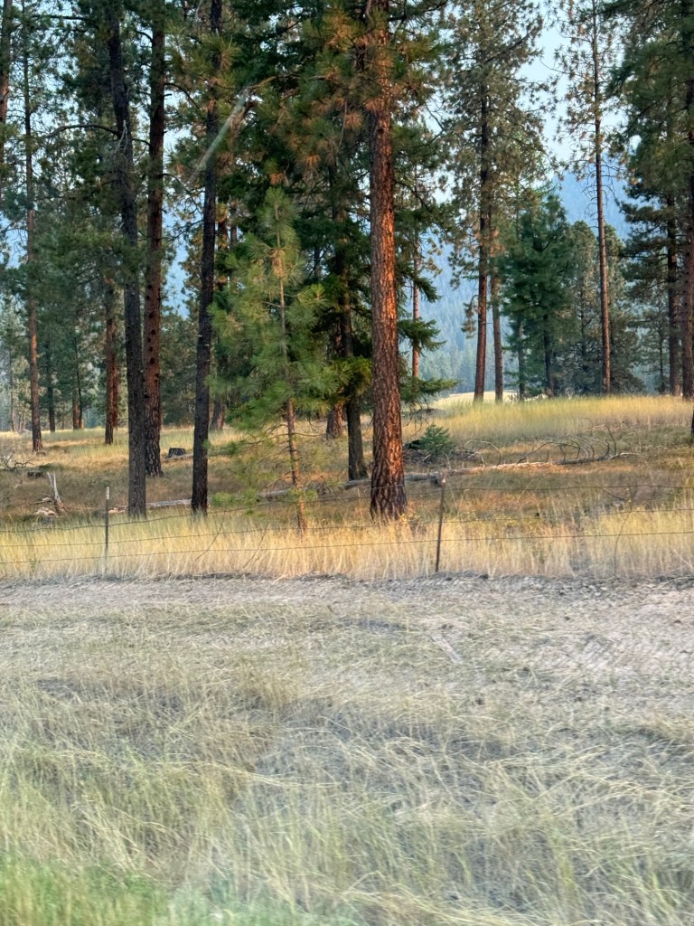
We enjoyed the countryside and I tried again to achieve a woodland photo🤔
We booked a trolley bus ride around the crater rim today
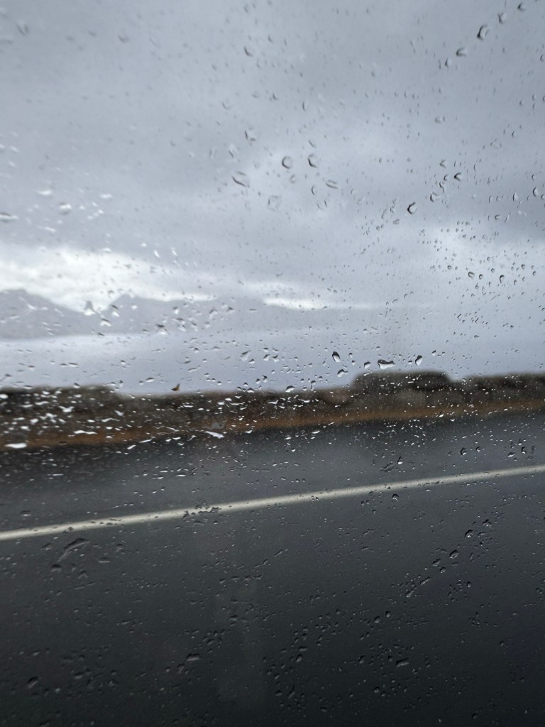
We woke up to a huge drop in temperature and rain !
The trip was very enjoyable the guide on the bus told us many things about the geology history botany and animals the weather etc
As we were high up we were in the clouds and so it appeared foggy but made for good photos when the bus stopped at various points
Dragons head and tail
It lasted 2 hours and towards the end the visibility was non existent so I suppose we were lucky we got some good shots
This is our first day of rain! 39*f we dressed in trousers and jumpers and rain gear ….not tee shirt and shorts.
We went out for a steak last night at roosters in Klamath falls. It was so tasty and good to have fresh veg and fruit.
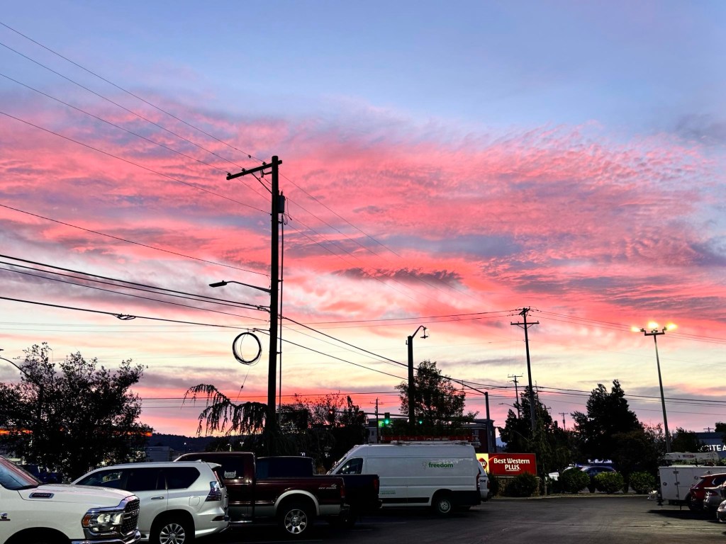
The sunset as we left was deep pink candyfloss.
At the restaurant and at the hotel people were listening to the first trump / harris debate. We have seen posters and banners occasionally and they have almost all been for trump “ make America great again”😩🌳
As the rain set in and the sky was full of it we returned to Klamath falls
I tried to direct vince to a wildlife viewing spot marked on the map but we ended up going in a huge circle and the road we needed to return to the hotel was closed!
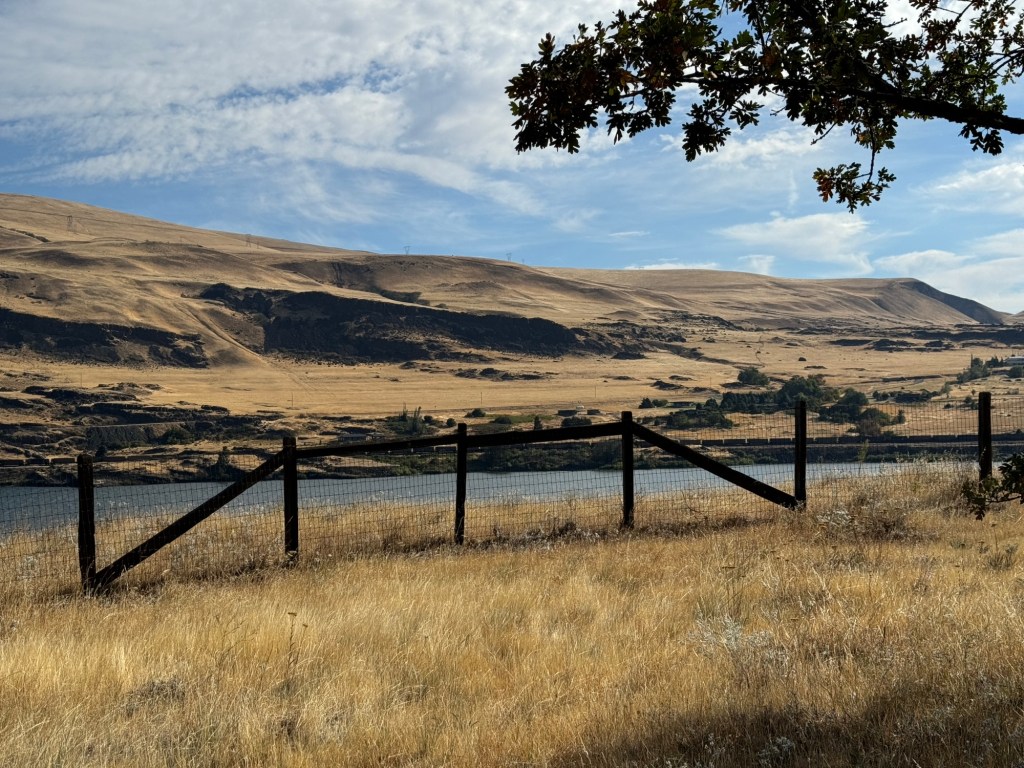
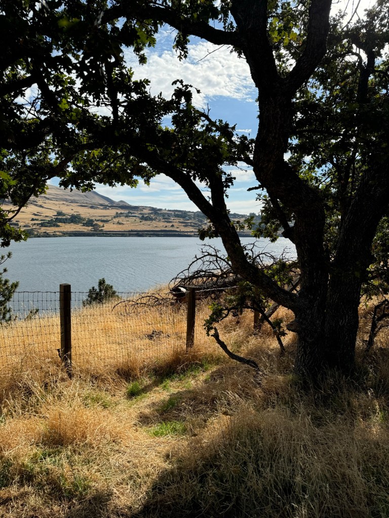
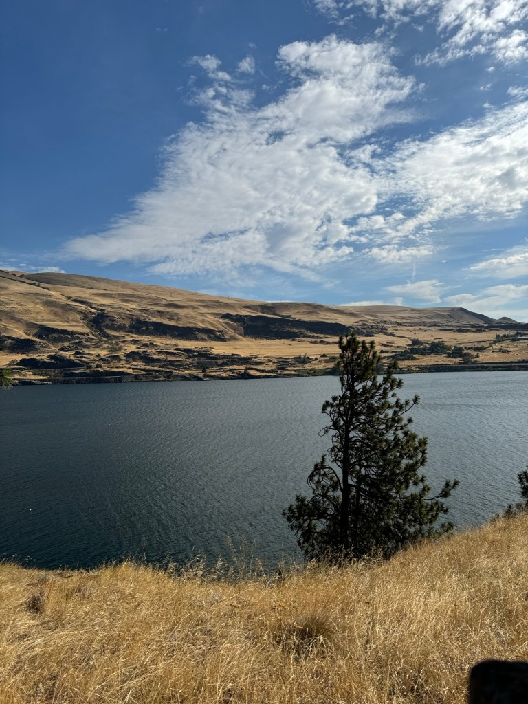
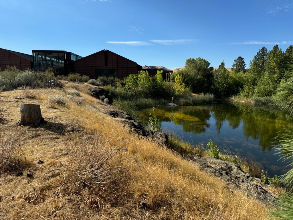
So first stop went to visit the Columbia Gorge discovery centre and museum
It has a trail to walk along the river and a history of the area in themed rooms.
We only spent an hour here as we have to travel but wished we could have spent longer
The 197 turning to the 97 was the route we took to Klamath Falls.
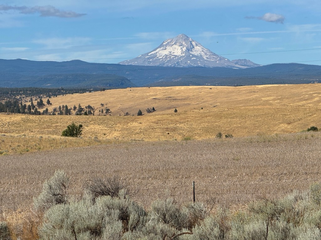
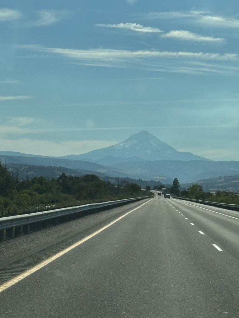
We kept getting glances of mount st Helen and sadly many burnt hillsides. We went along a slow road called criterion pass to connect with the 97
We are travelling the mountain range called Cascade Range. It is very hilly and covered with rolling hills all yellow grass and many farms with cattle and horses
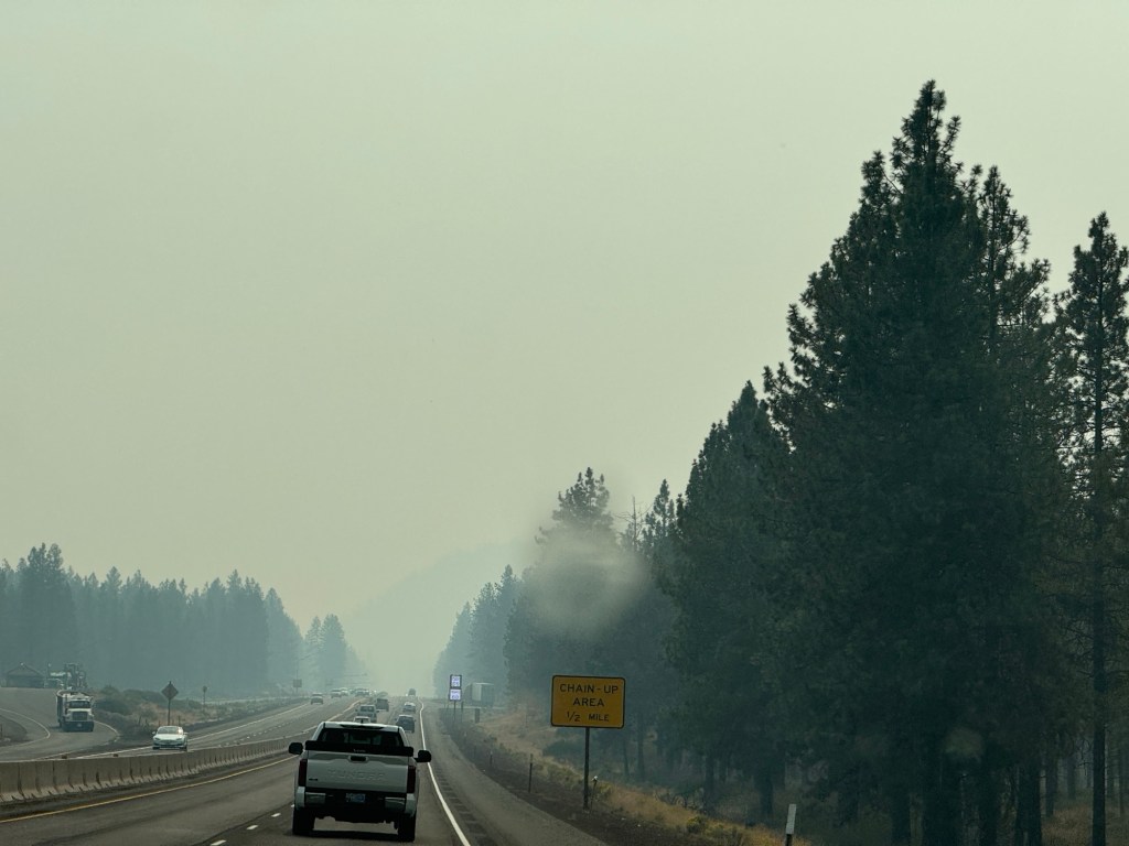
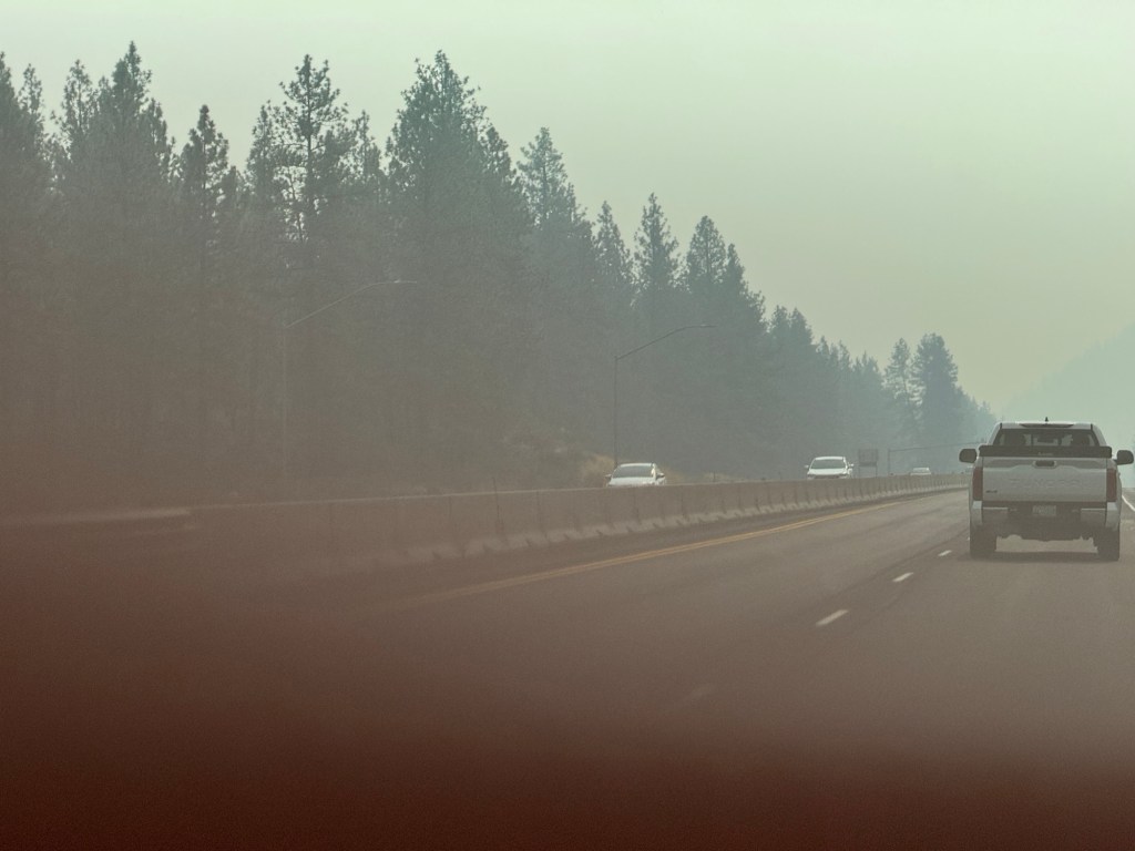
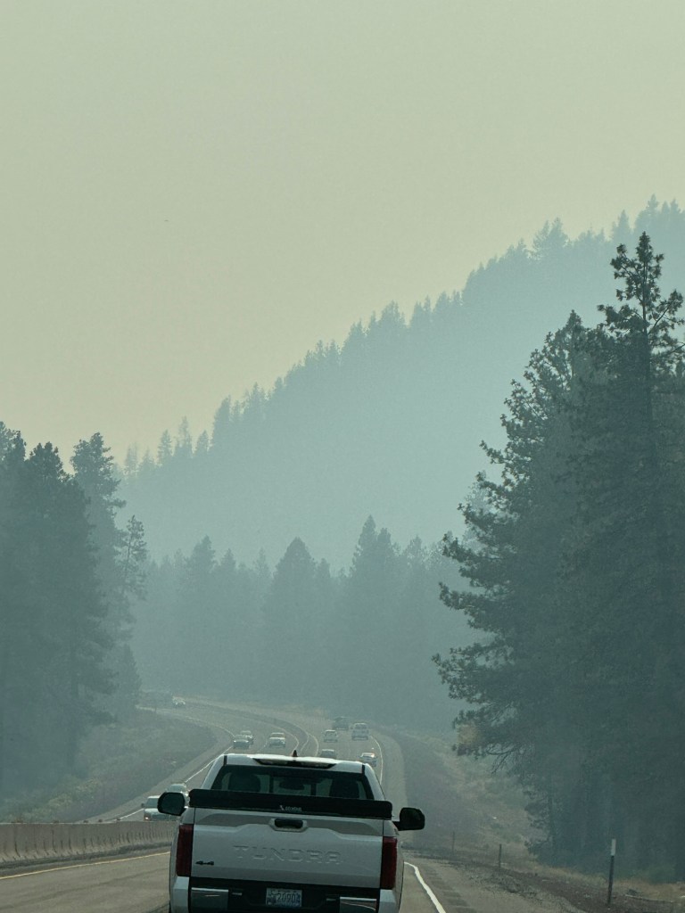
By the time we reached a town called Bend smoke was all around. We are wondering how it is going to be in Yosemite? The visibility was poor in the distance
We travelled for miles on this straight road with pine forests either side as far as the eye could see and smoke everywhere
It was very upsetting to see the effects of global warming and the devastating forest fires.
After the junction turn to Eugene the air cleared and the smoke was no more very suddenly! Such a relief blue skies great visibility and sunshine
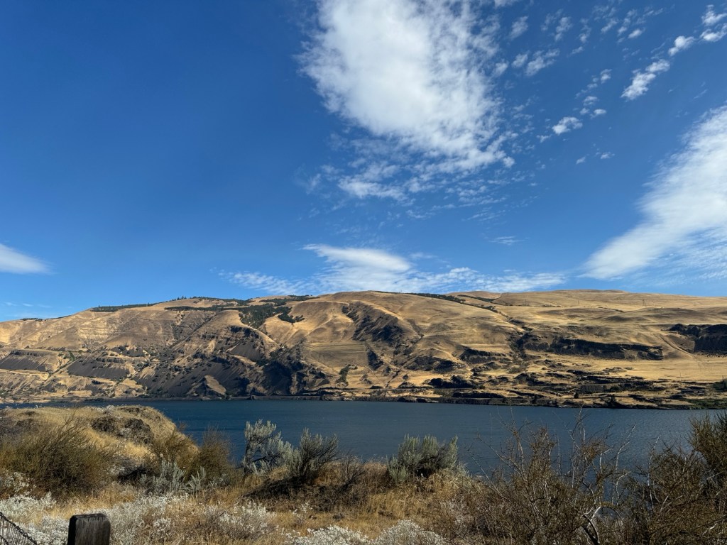
Not far to go now as we were near crater lake but our hotel was south of this on a lakes area.
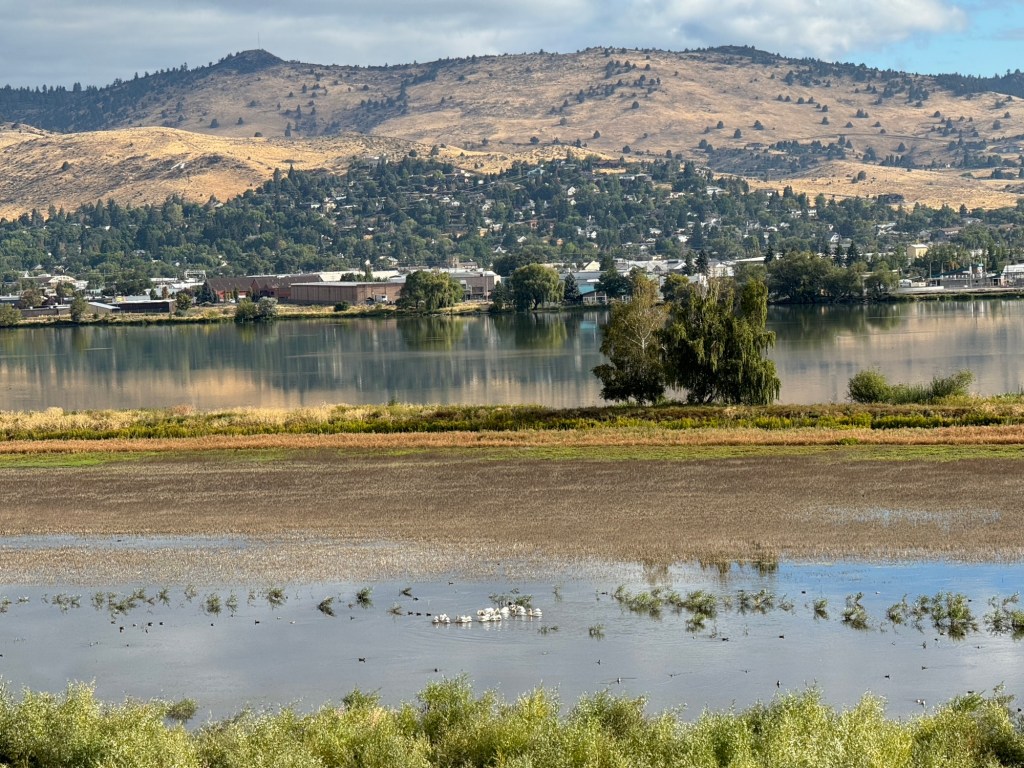
The lake at Klamath lake is huge and we saw great blue herons and egrets
And now we are in a best western hotel at Klamath Falls
We have booked a coach trip around the rim of crater lake tomorrow so excited….
We set off before 7am for a long drive to the Dalles towards Portland Oregon
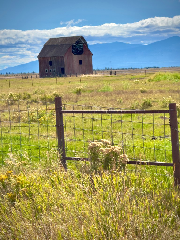
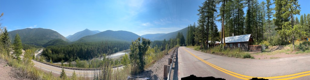
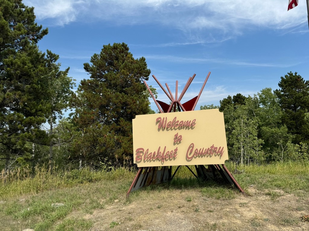
After tracking the huge lake round Kalispell we entered the West plains Blackfoot Indian land and headed to a town called paradise
The land was cattle ranches with black cattle and calves standing out on the yellow grass they were feeding from.
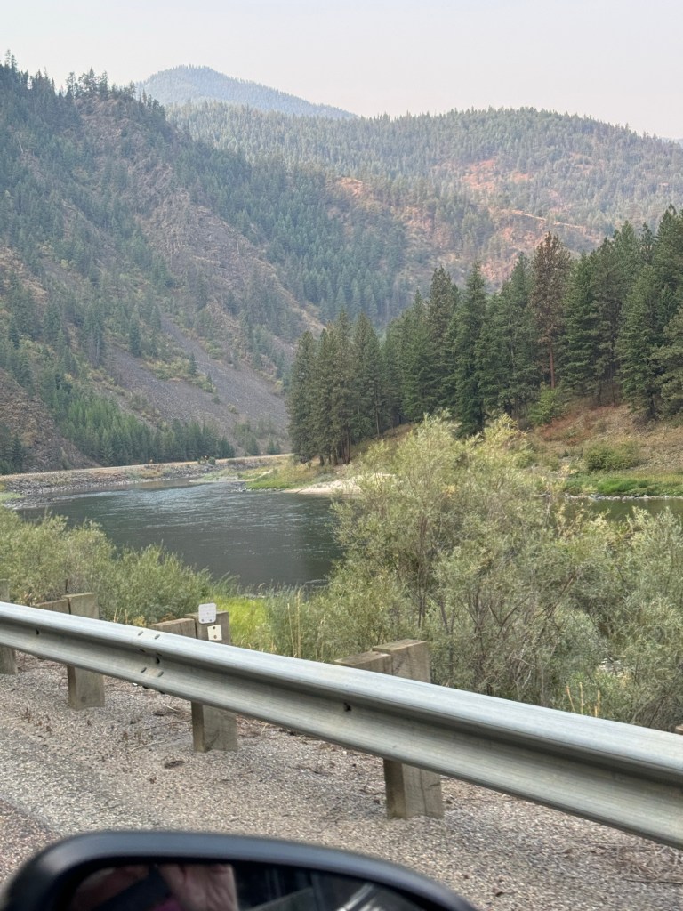
We passed several hot springs and followed wide rivers along the coeur d’Alene mountains …very picturesque scenery
The train tracks crossed the road and the wide meandering river, on steel cantilever bridges. It was the Lo lo national forest. Pine trees everywhere over all the hillsides
We reached the highway to Spokane exiting in 180 miles 😏
Into Idaho state and it was very smoky in the valleys. The clocks went back an hour to pacific time.
Coere d’Alene is on a huge lake and loads of water crafts it was a big city Then into Washington state
Spokane was a huge sprawling city and not at all attractive. We now went up onto the Colombian Plateau
The plains are cornfields miles of flat lands
and dusty. It was very hazy with smoke and the sky was grey with smoke.
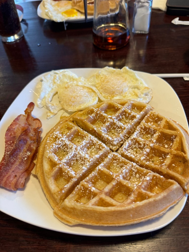
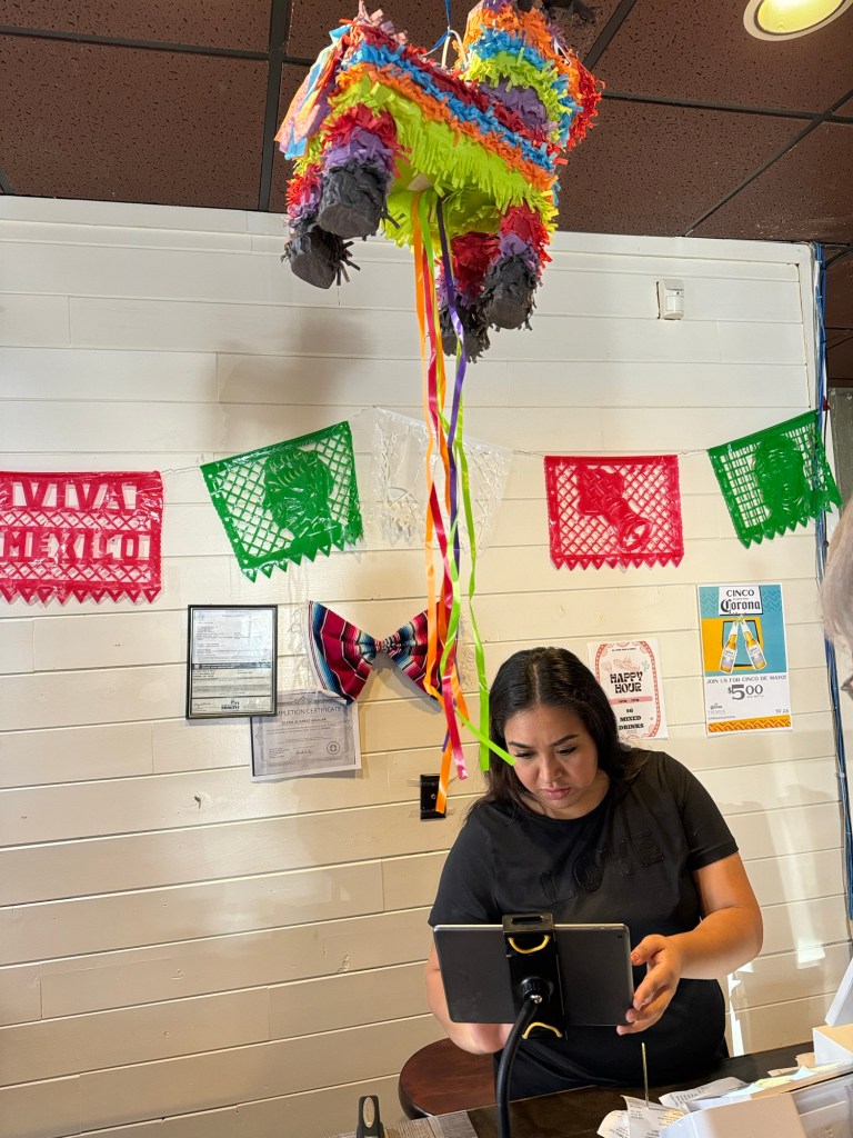
We called at a restaurant for lunch it was a Mexican one. But we had waffles so I didn’t eat any chillies 🤣. It was 84*f hot but at least cooling down from the 100s
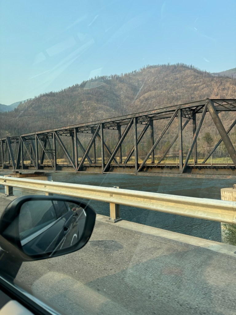
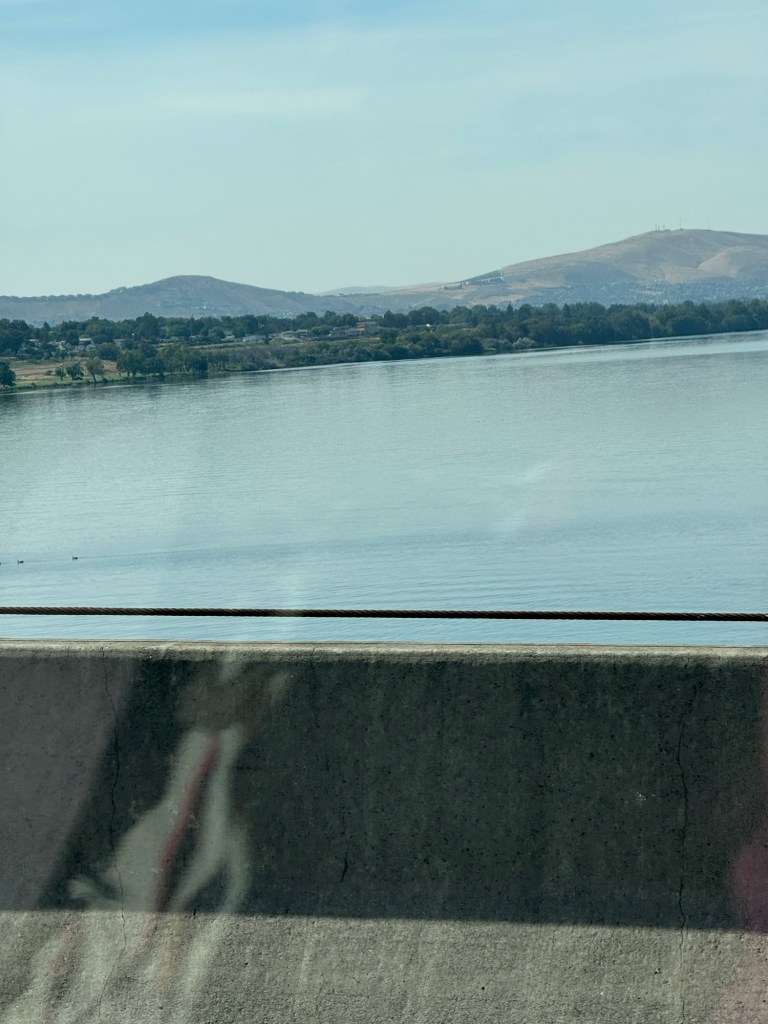
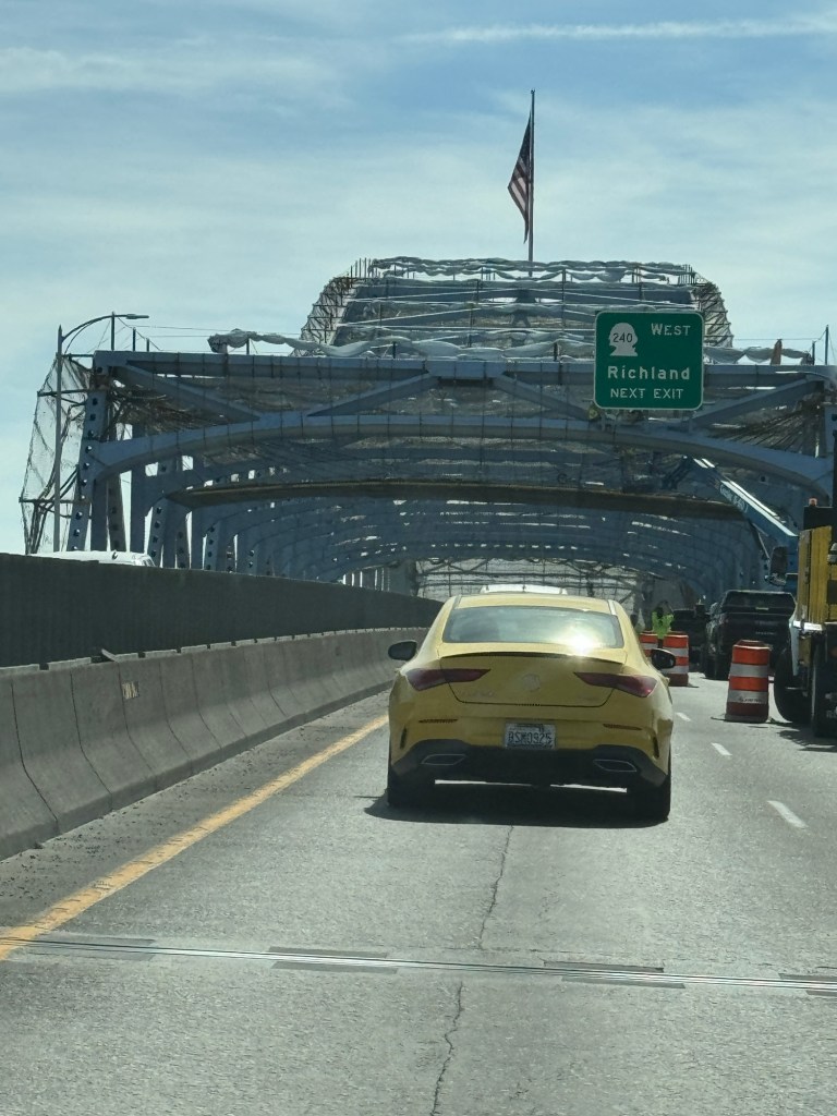
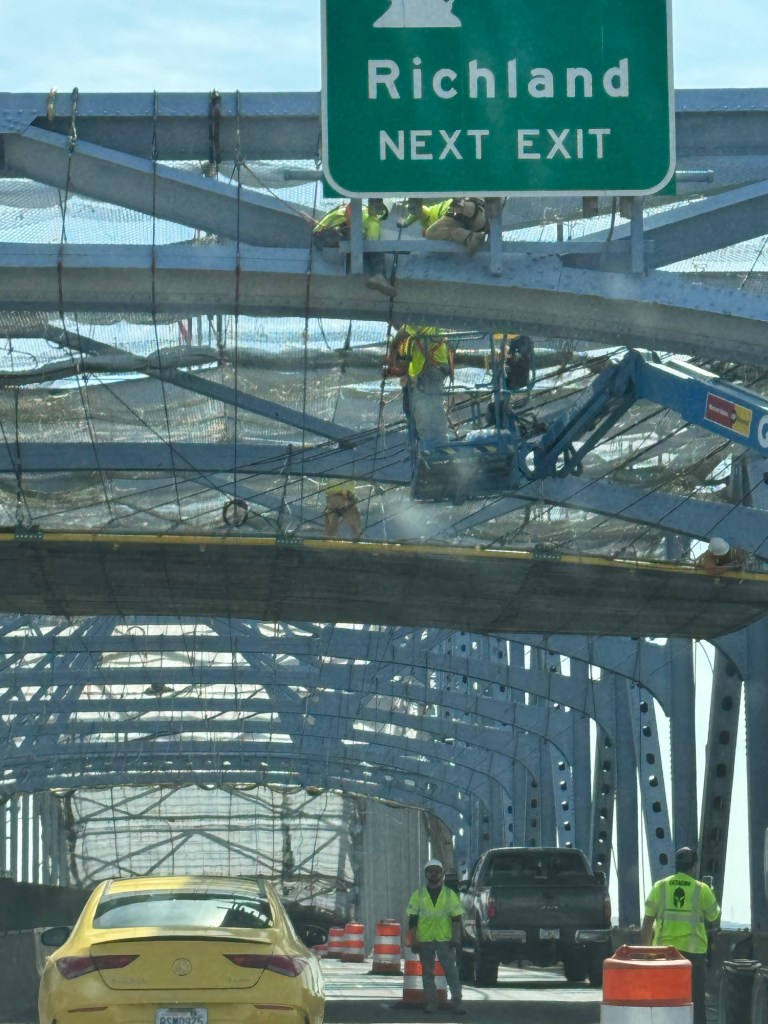
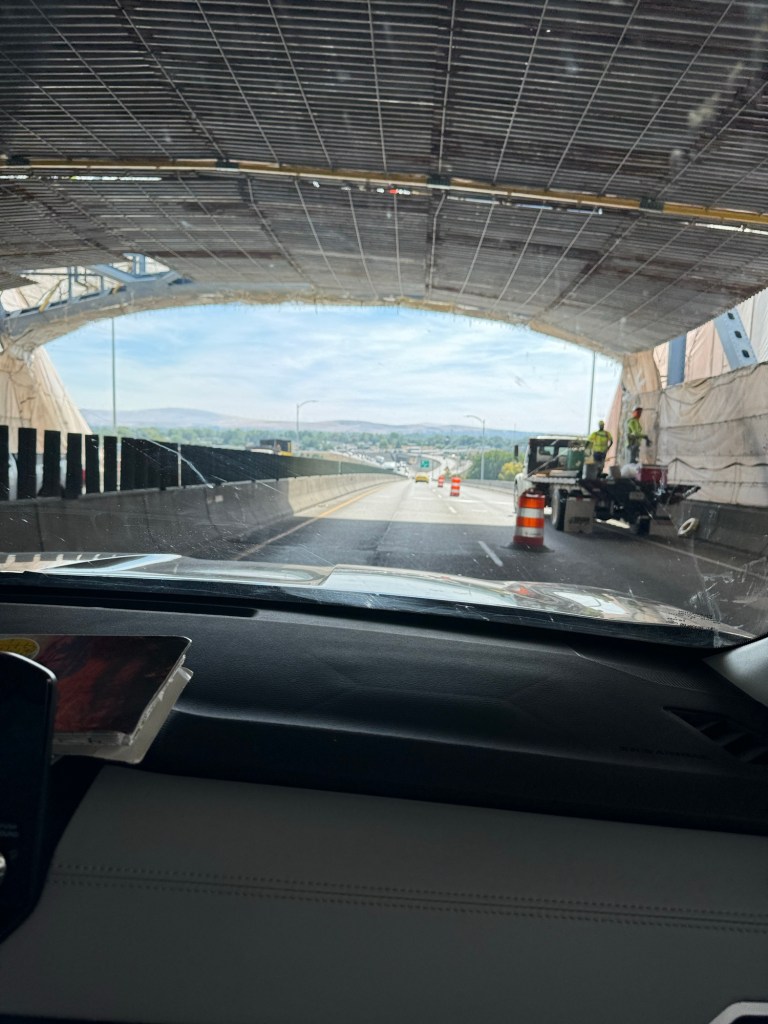
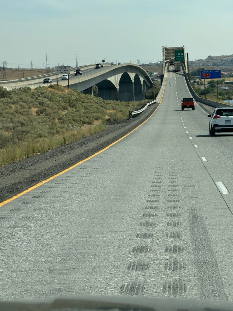
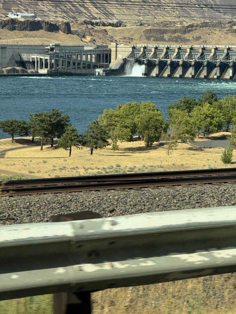
We crossed over the port of Kennewick on a long cantilever bridge.( The kind that a cargo barge got caught under and destroyed )
The next huge river and bridge over it marked the border of Oregon
We were 100 miles from our destination of The Dalles Oregon the temperature was 95*f 🥵 A strong warm wind too
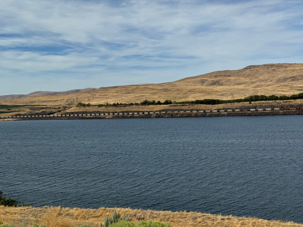
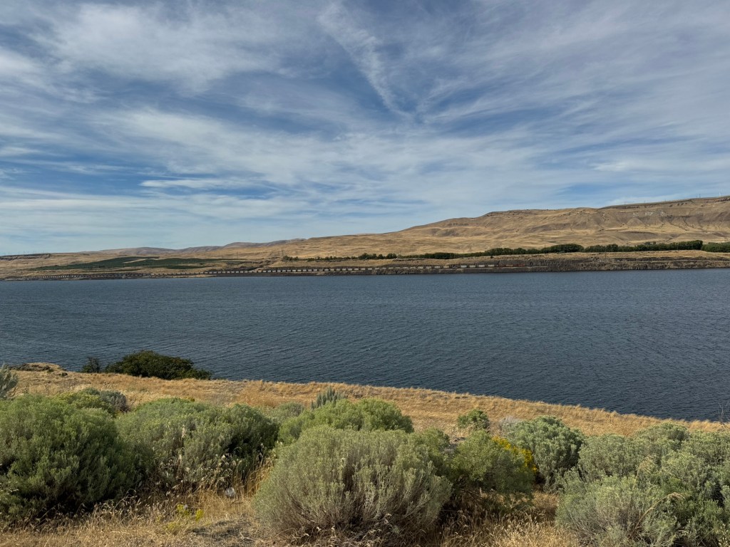
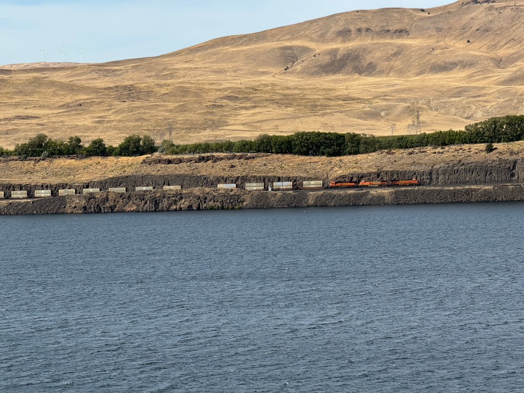
We followed the huge Columbia river and for miles its grassy embankments were burnt
Can you see how long the train is on the far bank?
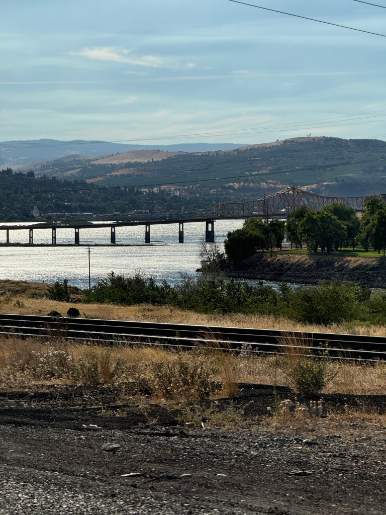
We saw many bridges across this wide river, grain stores, fishing with Seine nets, wind turbines, a few dams, water sports all along this wide river.
Mount St Helen began to dominate the scenery, its volcano erupted in the 1960s
At last we arrived at the hotel in The Dalles
For an overnight stay
My photos are mostly taken through the car windows as we drove by …so hope they are ok
Missing you all but know you are busy at school now so sending hugs and kisses to my family xxx
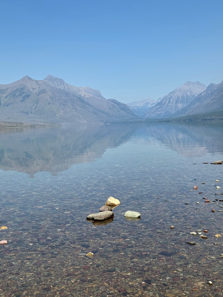
Last full day at White fish. We shall be sad to leave this ski apartment. It has been so relaxing having our own place for 6 nights.
Booking. com have come back to us about the hotel fire and will (quite rightly)refund our money plus any extra it cost us for alternative accommodation. So no worries about the situation any more.
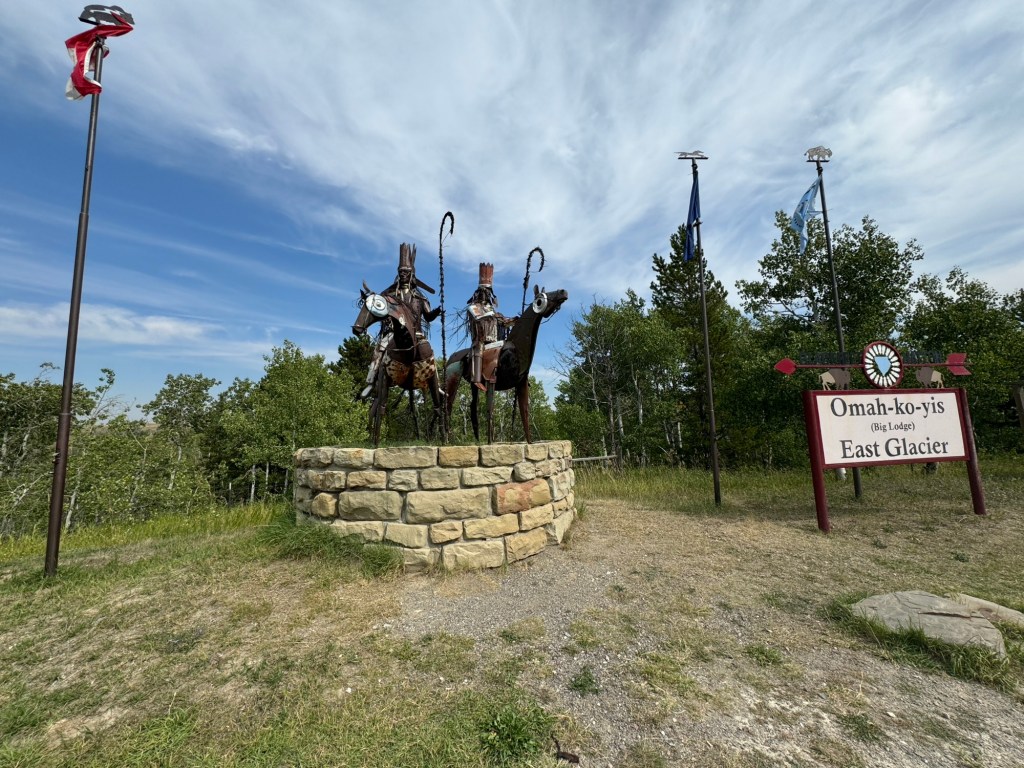
Today we headed out to the east to Two Medicin lake calling at historical Izaak Walton’s railway hotel. Successful/lovely
We entered the east entrance to glacier Park
All best plans had to be changed. The parking areas were full at the lakes and the wardens were turning all cars round.
This is Blackfoot Indian country
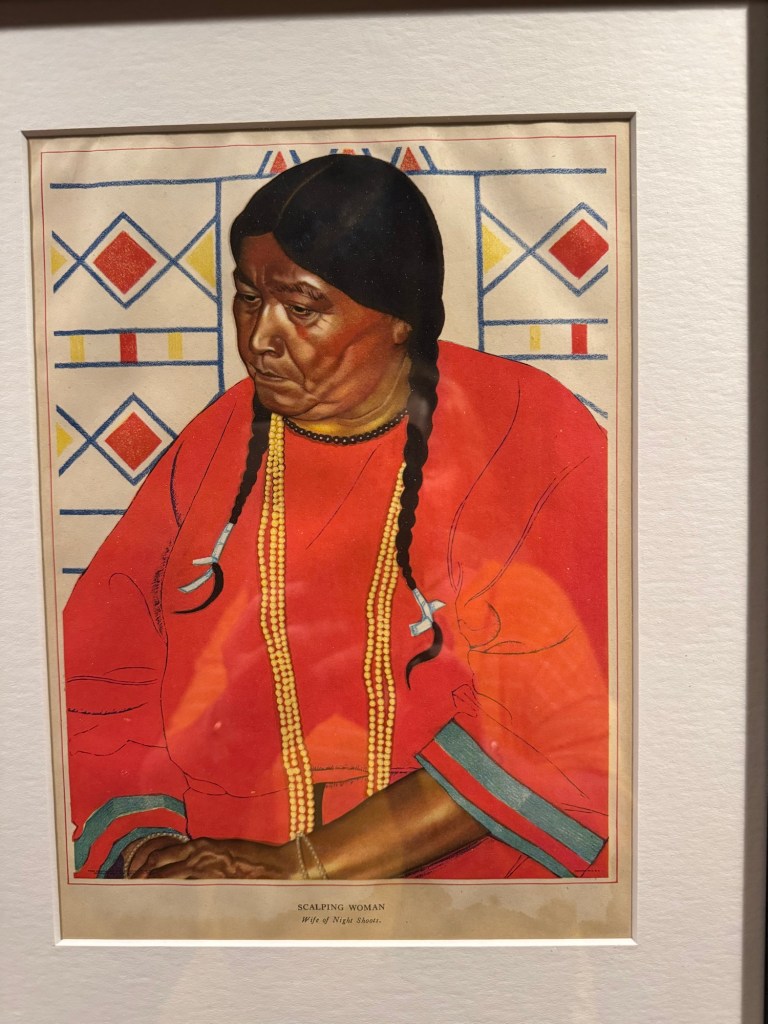
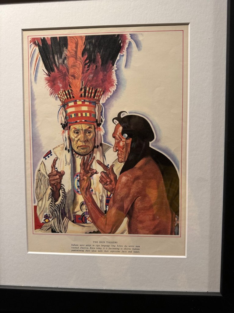
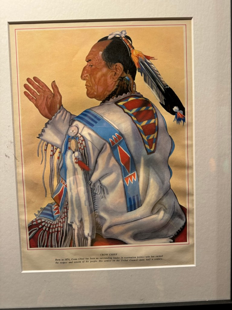
We decided to go to Browning and look at that town. It has a plains Indian museum there. It is on route Canada but we weren’t going that far 🤣
But again plans scuppered, everything shut as it is Sunday
So we found a bakery at kyiyo and I had huckleberry pie so yummy. We sat outside near the aspen trees with a dog laid out near us
Not exactly our plan ……that was to relax by the two medicin lake all afternoon…
but still nice.
We saw a freight train that was pulling about half a mile long of train wagons
We took the return route to white fish and relaxed in our apartment