Gentle Annie Road, Gisborne

IMG_9698How could you resist going down a road called “Gentle Annie”…. we couldn’t!

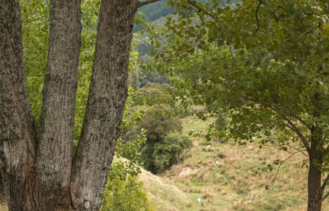
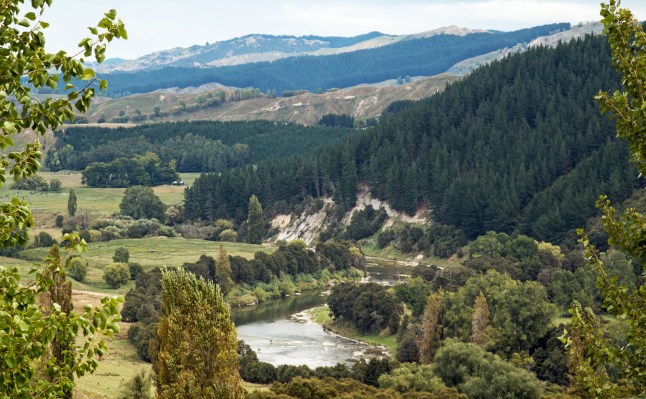
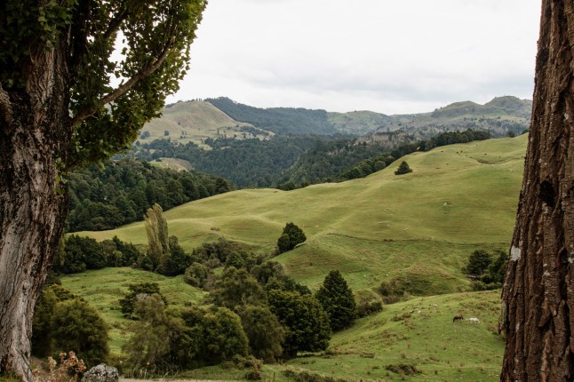
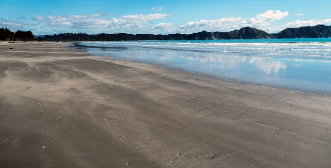
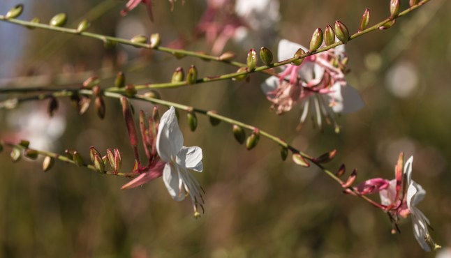
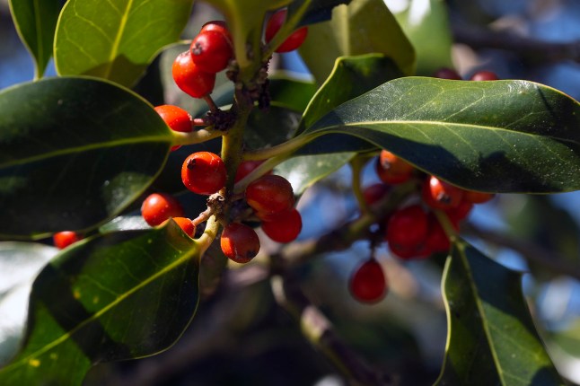
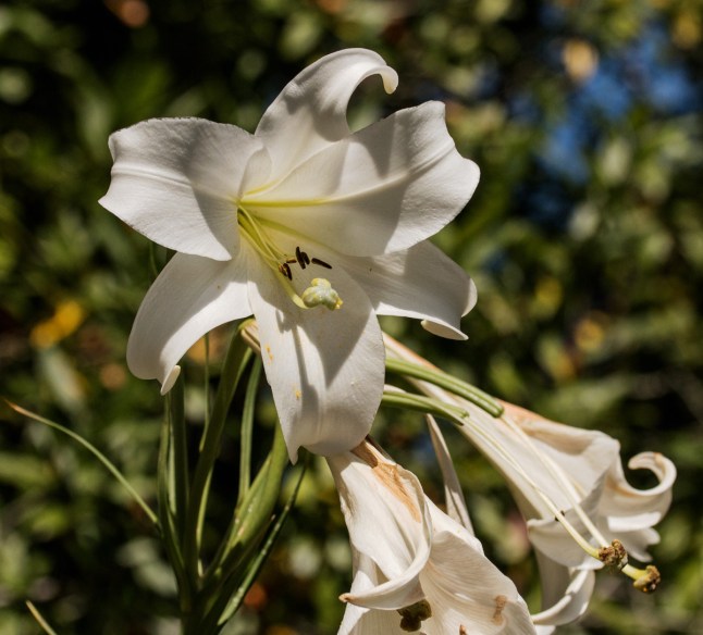
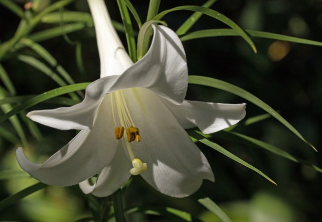
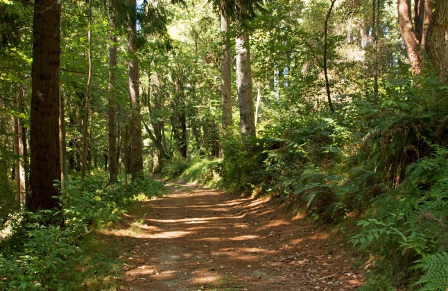
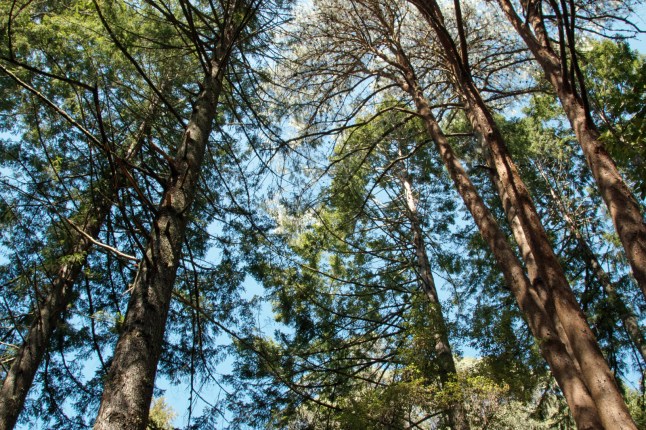
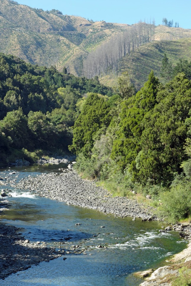
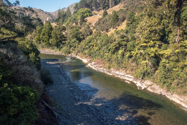
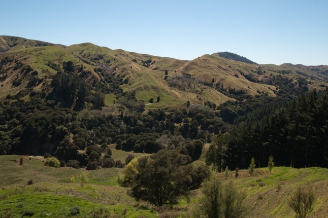
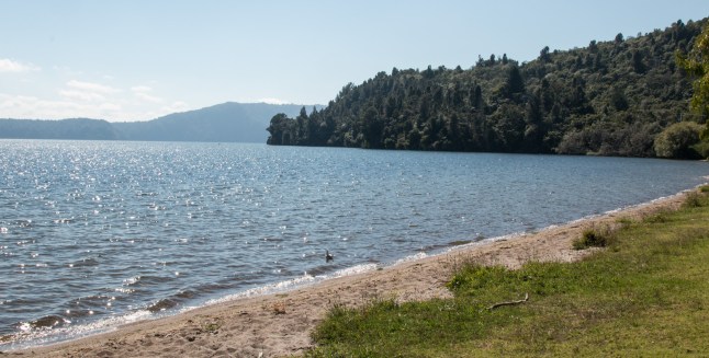
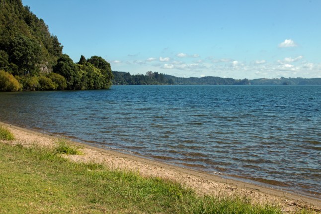
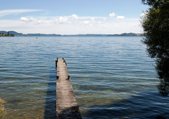
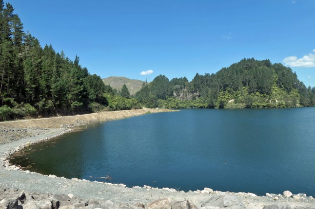
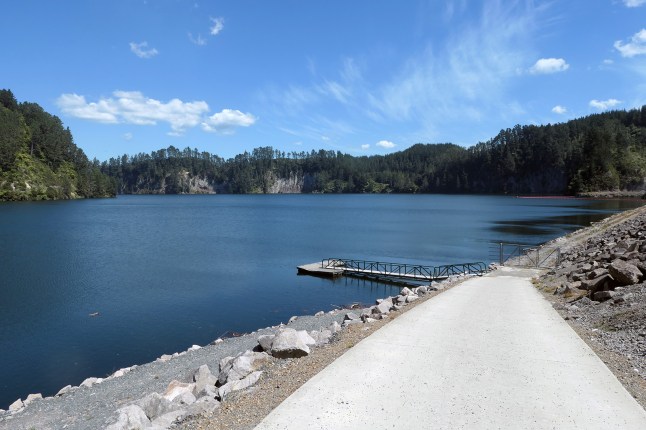
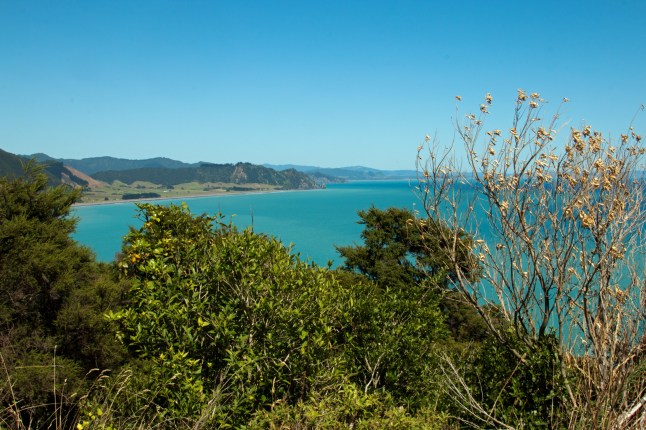
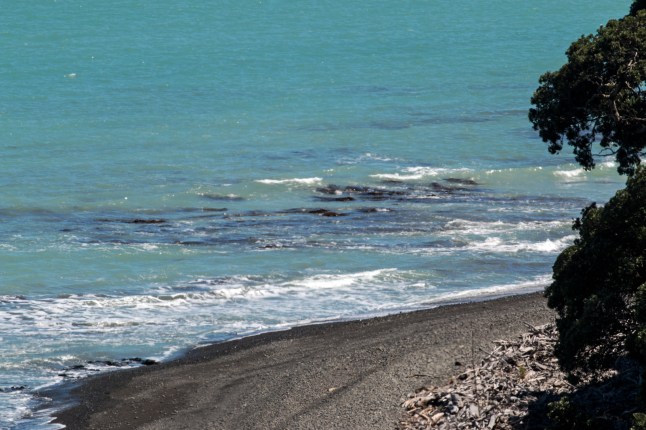
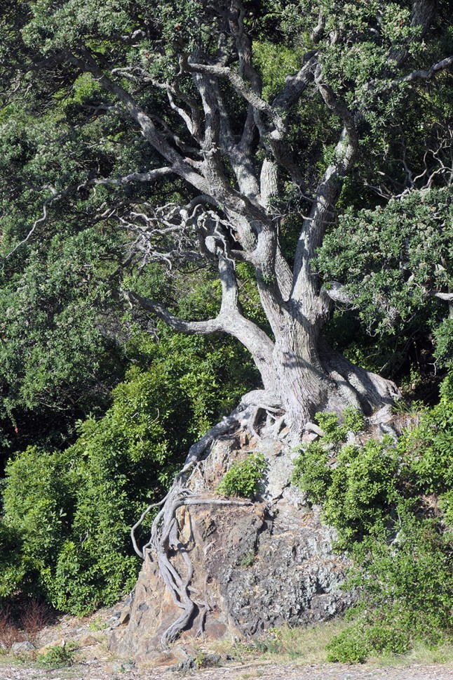
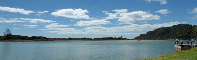
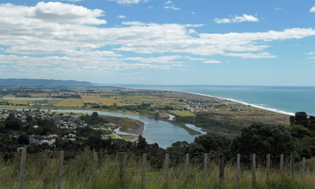
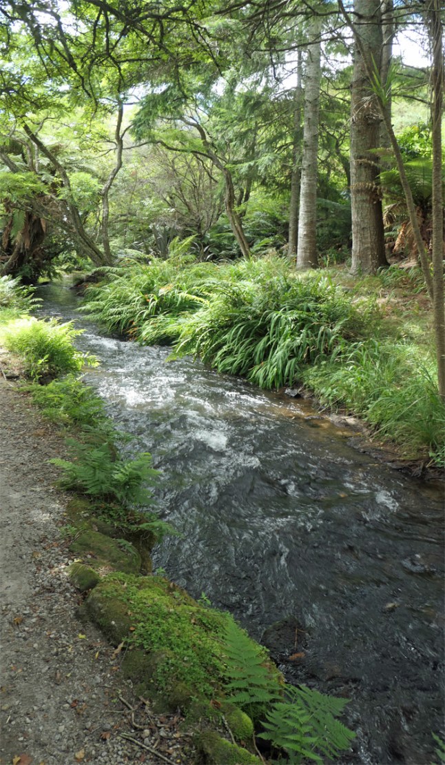
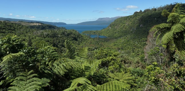
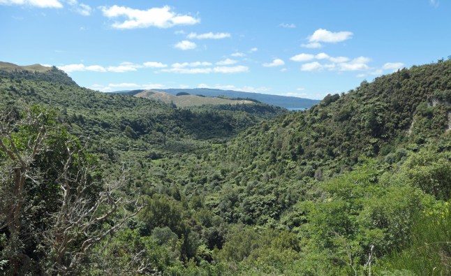
It travels inland between Gisborne and Wairoa 100 kms. It is a winding road through beautiful rural scenery. Here is a flavour of what we saw. As per usual there were not enough stopping areas to view and admire the lovely steep valleys gorges and also white cliffs then rolling hills.IMG_9677IMG_9678IMG_9680

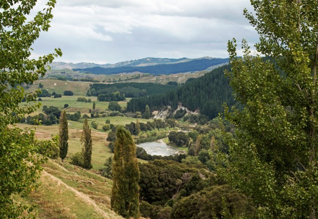
It was forecast for rain and the skies were grey all day with hints of blue now and then.

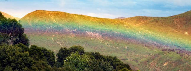
As we got near a lake area called Tiniroro ( don’t you just love the place names!), it began to rain huge drops of water but there was also bright sunshine. The rain was glistening and quite magical to see. We rounded a bend and were so surprised to see a beautiful rainbow with very low arch that seemed to touch the hill and treetops. We jumped out of the car to grab our cameras before it disappeared. Luckily we were able to stop off the road.IMG_9667IMG_9673IMG_9676

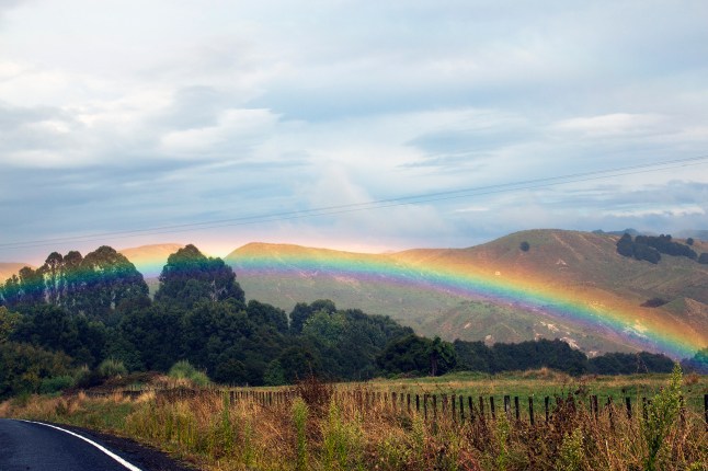
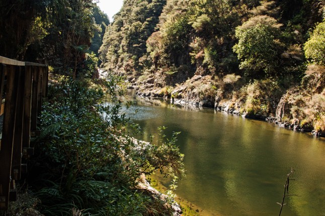
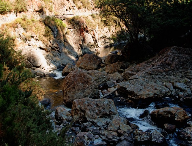
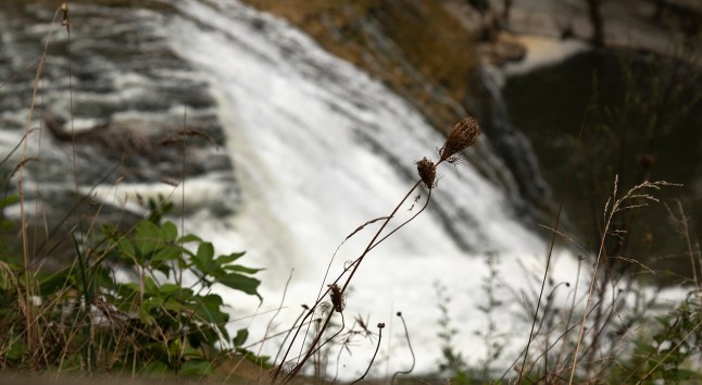
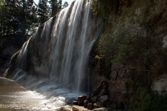
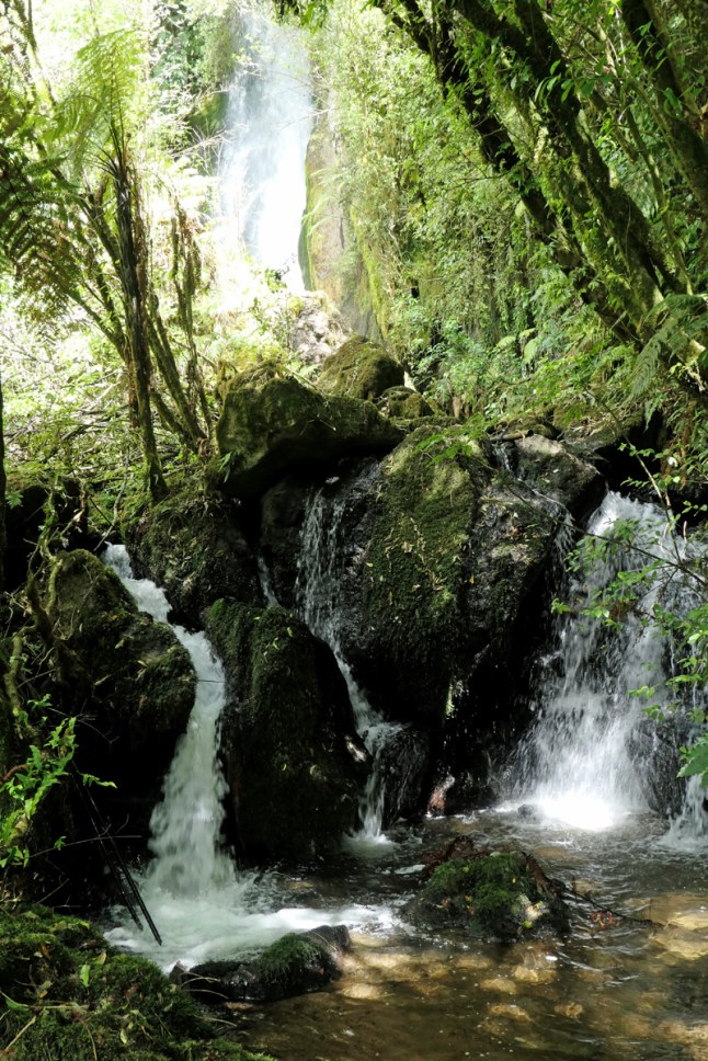
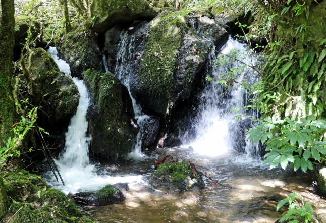
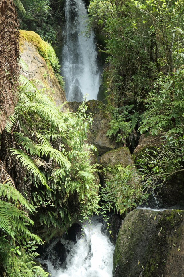
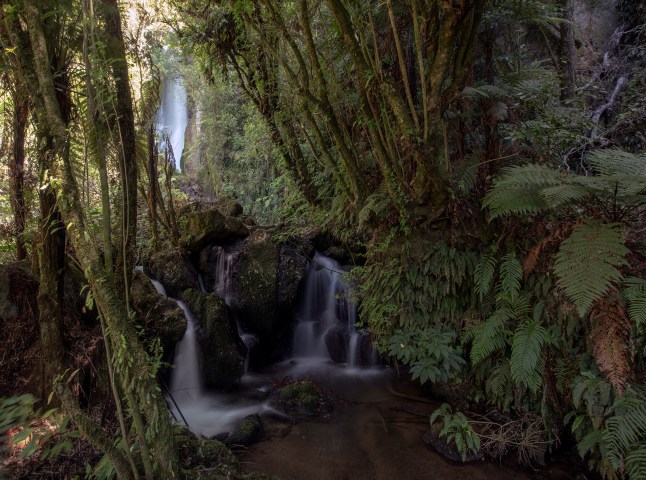
Next was the waterfall Te Reinga Falls. Well named because it was raining so much we carried on to Fraser Town… not a town just a few houses and a shop and toilets.

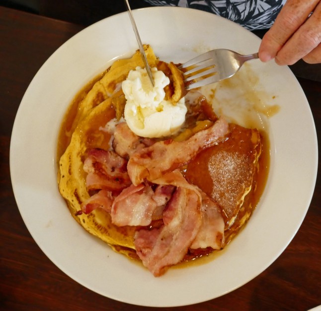
At Wairoa, we had pancakes for lunch Otis and Xavi! Its the first pancakes weve found since pancake day. Grandma and Grandad loved your photos and talking messages of your pancakes and world book day costumes. Thankyou xxx We had pancakes with bananas, maple syrup, bacon and icecreamP1020234P1020235

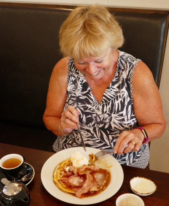
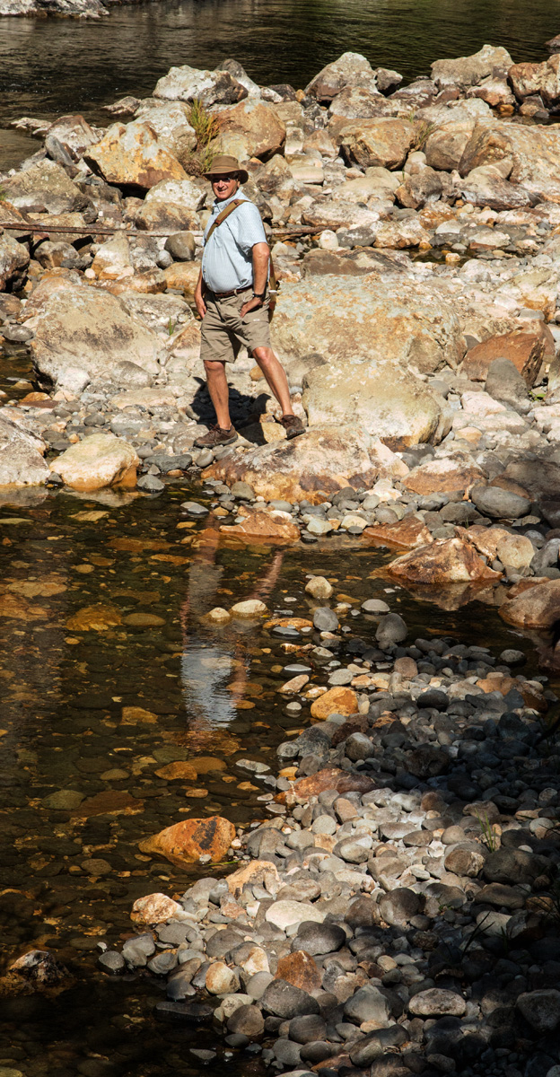
It stopped raining so we returned to the Te Reinga water fall. You walk a short way down a hill to view the top of it. It sounded very loud and you could see it was a great fall. There was no safe way to get to the bottom. There was an unmarked path that steeply descended but grandad said it was muddy and then turned to steep scree stones so unsafe.IMG_9684IMG_9688

We enjoyed the way back along the same route to our motel. We have passed many farms along Gentle Annie Road and it was a good journey.IMG_9700IMG_9705

Back in Gisborne we have monsoon rain. Wellington has had to cancel the cricket test series, Black caps vrs Bangladesh, because of the torrential rain and now its moved over to here!

So hopefully a film night on NZ tonight and wine and cheese with crisps, we know how to live it up xxxxP1012180

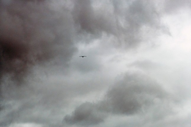
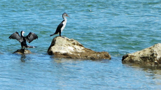
That is a bird of prey, best I could do from the car!


Tolaga Bay, Tokomaru Bay and Coastlines Between

317A7517
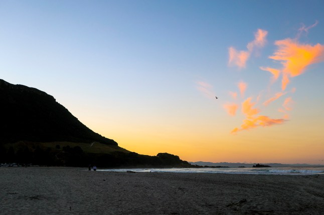
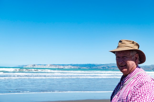
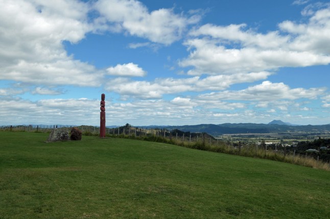
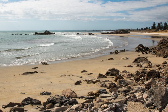
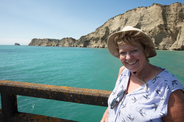
Another warm sunny day with a warm wind that was like walking with a hairdryer directed on us.

From Gisborne we followed the coast up north. The beaches were sandy and long with surf and turquoise blue water.P1012166P1012167

We passed people freedom camping and also people just living in the sand dunes in shacks and bad condition caravans.

Other places had brand new holiday homes all with views over the fab sandy beaches. There were villages here and there but not a big population. Lots of cattle and sheep farms in very hilly lands.

Many logging trucks passed all the time making their way to the port of Gisborne. They were carrying huge tree trunks and the trucks were double and even treble trucks and go so fast.P1012112

Our first stop was Tolaga Bay. It has a very long historic wharf. Built because the only way to reach this town was by sea. Reason for town was the flax industry. Last used 1967.P1012090P1012096P1012102

We walked all the way to the end right out into the sea.

At the end a couple were fishing and another couple and us two, all 6 chatting.P1012122P1012133

A small fishing boat came right under the pier and shouted to ask if they had caught any fish yet….No luck yet was the reply.

With that these two guys threw a large fish up to him, then another and another. We hoped we wouldn’t be hit in the face by wet fish! The 2 men had caught so many they had fish to give away. We were offered a fish but declined the kind offer. They were from the cod family and the people told us all about them.

Next lots of teenagers started walking up to the end of the pier. They were all going to jump off it. The girls told me there was a ladder at the end to climb back up again. They must be crazy it was a fair drop to the water. It is the Pacific Ocean on this east side of Gisborne.

As we got half way along another fishing boat arrived and we watched it head straight for the beach. One man held the boat while the other paddled to the shore (with water over the top of his wellies!) to reverse a tractor and trailer towards the boat right into the water. It was fascinating to watch how quickly they attached a line to the boat and hauled it onto the trailer and then jumped in the tractor and drove off down the road. They made it look so easy!P1012135P1012138P1012139

After spending a long while at Tolaga Bay we travelled further to Tokomaru Bay.

Tokomaru Bay is an historic whaling town that has been left to decay. The shops and buildings and freezing works in ruins are intact but look like they will collapse any time. It has been a grand place once. Meat freezing industry. There was another historic Wharf here but too dangerous to walk on and closed for safety. It made for great photos though. The bay was lined with a rock pavement right out to the end of the cliffs. The shallow water at high tide looked inviting. The pier extends beyond the shallow pavement to the deeper sea.P1012144P1012148P1012150P1012158

Grandad found 2 huge shells there and we’ve cleaned them up to bring home to show you.

There were a few darker clouds in the sky this afternoon and it’s forecast for thunderstorms and passing showers for the next few days. We haven’t seen rain for a long while.

Further along this road is East Cape and the most easterly lighthouse in the world. It describes a very scenic gravel road to reach the lighthouse. Locals told us it is a tricky drive along the gravel road and it takes 2 hours to drive it so sadly we won’t be going there!

We like Gisborne area very much, there is lots to do and see here. Looking forward to more adventures tomorrow xxxxP1012093

New Zealand National Arboretum Rere Falls, Rere Rockslide.

We didn’t want to venture very far today, we need a rest!

We found we could get to Rere easily on a tarmacked road. So off we set to explore the arboretum down Wharekopea Road towards Rere. Very strange words to spell and pronounce.

The arboretum only cost £6 each and it covers quite a few acres over a valley. There were different walks to follow each taking about an hour.

First stop was the tea house. The lady had just baked veggie cheese scones hot from the oven, who could resist? They were scrummy.

The gardens around the tea house were full of late summer/Autumn flowers and very pretty.

We decided to follow the yellow route that seemed to join a purple route and we ended up on a brown route! So I think we walked further than we intended but it was lovely and cool in the shade of the huge old trees. The trees were all named and the grandest trees were starred.

After another cup of tea no food this time! we left and continued up the road towards Rere.

Here we found the falls. You park just above them. This is the amount of water in the drought of Summer so I think they would be very different after Winter rains.

The rock round here is slabs of smooth stone and the river runs widely over the rock pavement.

Further along the road we reached the rockslide. It looked such great fun. Some people were riding on small body boards and one on a tyre inner tube. You push off at the top and slide riding the river, ending in a lake of river water. They were having a great time and we were laughing and enjoying it with them as we watched.

another hot day and a lovely day, hope you like my photos.

Went out to a posh restaurant tonight and had a most delicious meal.

Missing you, getting homesick a lot now xxxIMG_9567IMG_9576IMG_9583IMG_9586IMG_9591IMG_9595IMG_9597IMG_9616IMG_9618IMG_9622IMG_9629IMG_9635IMG_9642IMG_9656IMG_9659IMG_9666

From Opotiki to Gisborne

We left Whakatane by 9am travelled along the beautiful coastline to Opotiki. The sea was in and the mud flats mostly covered.

We saw many pied oyster catchers and herons.

From Opotiki to Gisborne you travel down a long windy gorge. It is pretty amazing. The road climbs slowly up for miles but it feels like you are not climbing.P1012056IMG_9478IMG_9484

Then the environment changes into limestone scarps and steep valleys. You descend into wide valley bottoms and gentle hills. There was only about 4 or 5 viewing points to stop. Lots of fab scenery but nowhere to stop to photograph it. All that way there was only one cafe to stop at for a drink!

At Gisborne we went to the sea front. We walked all along the sands in the sunshine. It was 25*c and very intense sunshine, but cooler by the sea.P1012062P1012083P1020223

Early evening at high tide we went to the viewing areas high above the town. Gisborne is where Captain Cook first set foot on NewZealand soil. He had discovered land! There was a meeting between him and the Maori chief but the greeting was misunderstood as aggression and Maori’s were shot dead. Cook had to leave this coast and named it Poverty Bay.317A7222IMG_9486IMG_9492

Down by the sea and port we sat and watched the surfers and the canoeists being trained. They were fit young Maori men and were riding the surf waves and rowing strenuously. Then they saw me taking their photos and they stopped and waved at me. It made me laugh so much. Grandad and I got great photos of them in the bright sunshine.317A7327317A7337IMG_9513IMG_9526

We stayed until the sunset and ate fish and chips by the seaside. The seagulls were a pest…IMG_9540

Did you remember it’s pancake day, don’t forget to have some yummy ones. We couldn’t find anywhere to buy them today so we’ll get some tomorrow instead. Xxxxx

Lakelands near Whakatane

We headed inland on the 30 route today to see more lakes. We passed by Lake Rotoma, Lake Rotoehu, Lake Rotoiti and lastly Lake Okareka. All these were not too far away. There was hardly any wind today and so lovely reflections in the water.IMG_9447IMG_9449IMG_9450IMG_9460IMG_9466IMG_9474

We are lucky to see blue lakes reflecting from the blue skies. I expect they all look very different in the pouring rain. It seems New Zealand is to get even more heat all next week, it’s coming over from the extreme heat in Australia.

So on the way back we drove up a pretty valley following the Rangitaiki river. The photos are of the dam so far along.P1012055P1012054

We turned back after a while as the valley is very long we saw hills that were extinct volcanoes P1012052

We move on toGisborne tomorrow (at the start of Hawke Bay.)

I hear you have gales and bad weather now in Britain, hope it goes away quickly! Hope it doesn’t affect The Hague!

Volcano spying along the coast from Whakatane towards Gisborne

Sunday 3rd March children’s day in NZ.

We went along the coast exploring today.IMG_9418IMG_9419

The first bay we came to was called Opotike. The beach here is so long it goes on for ever. White sand and surf waves and islands out to sea. Elephant Island and the active volcano White Island are the largest.

I seemed to be hooked on seeing views of the White Island. As we went along you could see the white steam rising from it. I took my long lens and got the best view I could of the volcano. As we travelled further east it appeared to be more visible.


The road follows the coast closely but the cliffs get steeper and the road winds higher up the cliff sides with steep drops to the sea. In one part the road had fallen into the sea and only one lane was left. It had traffic lights there for taking turns to go along. That finished me off we decided to turn back and retrace our steps. No point in being frightened was there!IMG_9447IMG_9439

The beaches along this coast are totally untouched some with gravel and rocks, and always loads of driftwood. There are a few Maori carvings and portals looking out to the sea. It is Maori owned land mostly.

In Whakatane we walked along the sea front. We met a couple from Shetlands and spoke to them for ages. They have been here about the same time as us and mostly travelled the same route. It a wonder we haven’t met them before.

I took loads of photos of the statue of the girl in the bay on the rocks. She was the daughter of a 12century Maori chief. They landed here for the first time in their canoe and the men went ashore leaving the women in the canoe. It started to drift out to sea so the girl grabbed an oar and paddled the boat to shore saving the women’s lives. This plaque is to celebrate her bravery.P1012042P1012031P1012025

Unveiled at the Whakatāne Heads in 1965 as a memorial to the wife of Sir William Sullivan. This bronze statue atop Turuturu Rock lies at the mouth of the Whakatāne River and commemorates the bravery of Wairaka and the daughter of Toroa, captain-navigator of the Mataatua waka.

When the Mataatua waka first arrived at Whakatāne after making a perilous voyage from Ngāti Awa’s ancestral homeland of Hawaiki 600 years ago, the men left the women alone in the canoe while they went ashore. When the canoe started to drift back to sea, Wairaka (defying the tapu that forbade women to handle a canoe) seized the paddle and brought the waka back to shore crying, ‘Kia Whakatane au i ahau’ – I will act the part of a man.’  This cry is the origin of the town’s name.

Again I seemed mesmerised by her and took many different views of her from different angles, until a seagull sat on her head 😂😂P1012046

So my camera work today was of White Island and the Maori girls statue

I am missing you all very much. We have now booked all motels up until we leave Auckland. So that’s done now.

Take care everyone, my family and friends xxxxP1012045

Whakatane

We travelled from Tauranga today, passing acres of kiwi fruit farms.P1011999

Whakatane is where we are now for 3 nights. It seems a good seaside and river resort surrounded by hills and islands nearby in the sea. P1011987P1011990P1011991P1011996P1011997P1011998

We explored a bit and went to the tourist information. There is an active volcano called White Island, 30 miles off shore, that can be seen steaming. You can go by a boat trip and led expedition to view it, but we don’t fancy the trip in open sea again. We watched a video about it.

We drove up high above the town to the view point. It is 360* view and we took lots of pics. We could see White Island. The view is amazing from up there.P1012000P1012003P1012006P1012009P1012013

Here are a few pics I took of the seaside and surf. I am very happy to be here. Dad and I didn’t visit this area between Whakatane and Gisbourne 3 years ago (we just dropped briefly into Whakatane one afternoon.)

It is still hot and blue skies we’ve been so lucky with the weather.

Mount Maunganui

P1020183
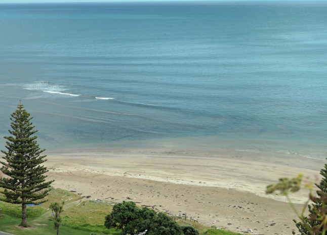
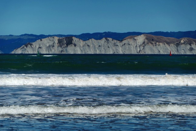
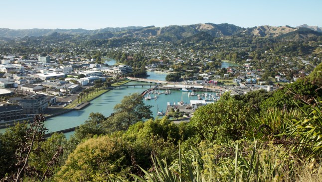
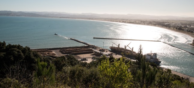
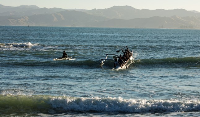
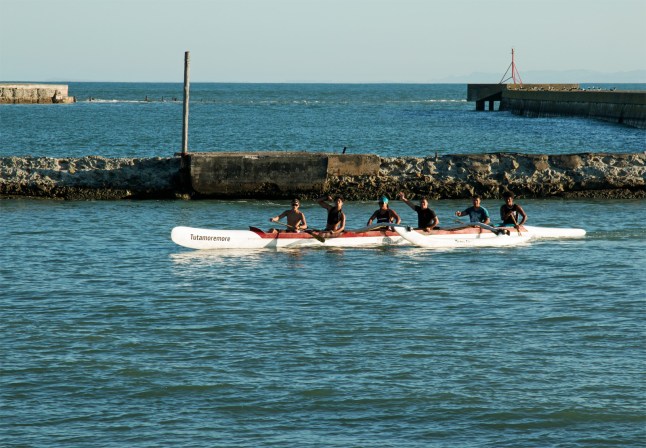
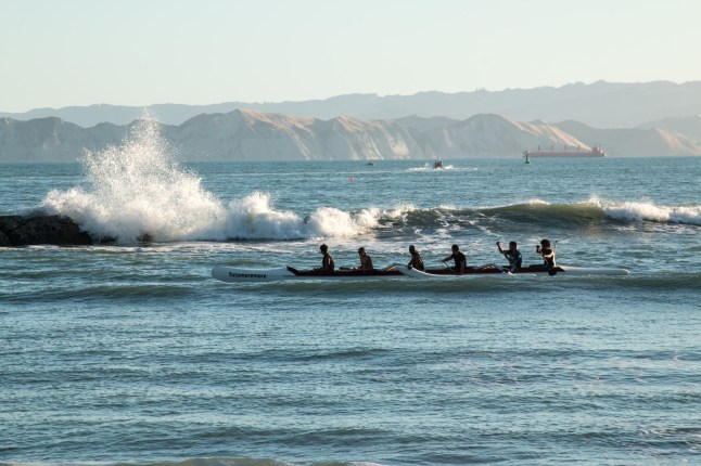
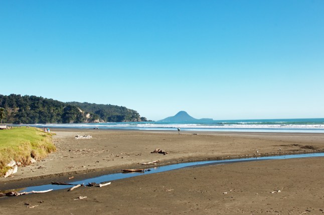
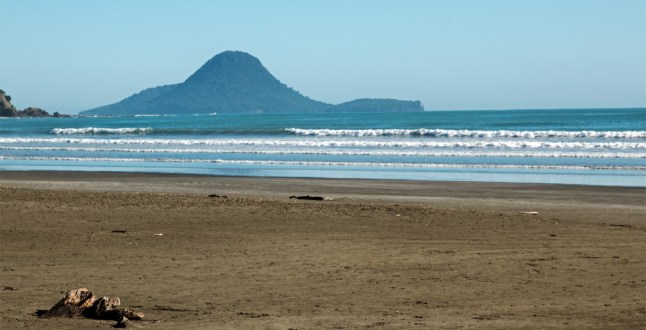
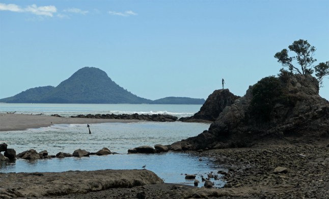
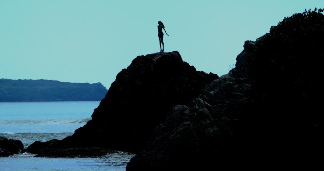
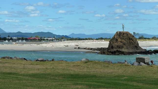
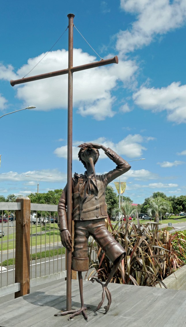
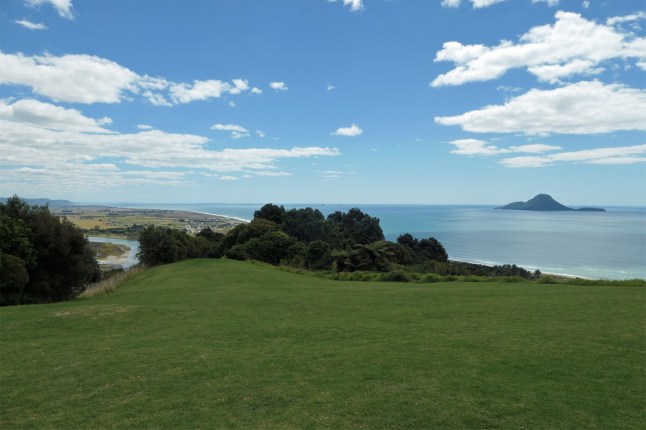
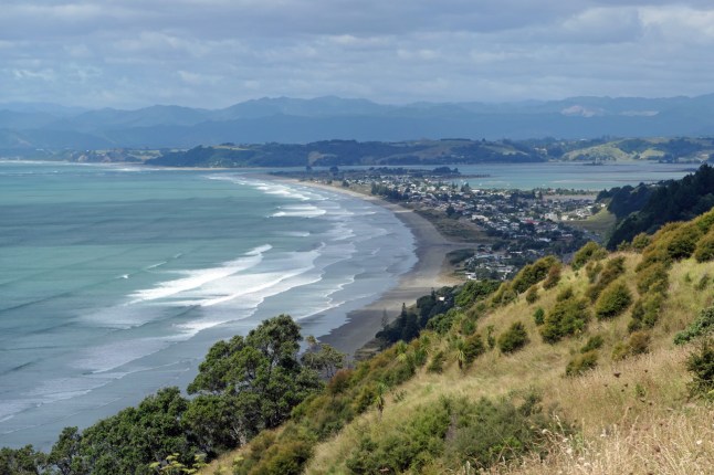
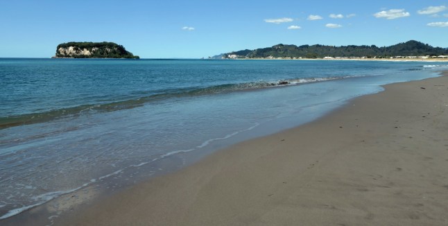
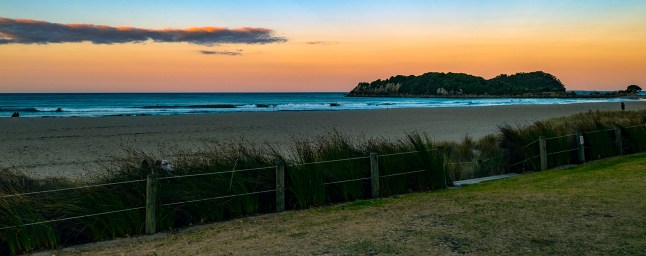
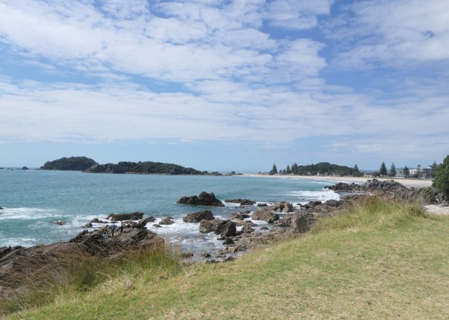
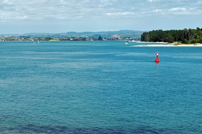
Mount Maunganui rises out of the sea at the entrance to Tauranga Harbour and today we walked all around its base track.

We first parked our car along the beach road and walked out on the headland that divides the beach. It is just a 10 minute walk and you get good views of the Mt Maunganui volcano from the end.IMG_9412IMG_9417

We then walked up to the cafes near the volcano and had a coffee.

The walk took us a leisurely hour or so. We kept stopping and looking at the yachts,ships and kayakers sailing by. There was lots to see. It is quite a long,but gentle walk.P1011968P1011971P1011973

A huge cruise ship was at the port and so there were many people around the town and shops so it was good to escape from them and walk the track. You can walk up to the top of the volcano as well, we didn’t though.👍

Lunch in town and then we drove to Katikati then wished we hadn’t bothered. There was nothing to see there even the sea shore was manky. I think this is the first time I have said bad things of anywhere in NZ so far 😟

We saw a sign to Omokoroa beach and this was a much nicer place to visit.You catch ferries to Matakana Island from here. matakana island runs from Wainui to Tauranga harbour a very thin Long Island.

At Omkoroa we sat in the shade and then warmed up in the sunshine. There is such a difference in the two temperatures. The sun is intense but more of a chilly wind at times.

This evening we finally got round to exploring the surroundings of our motel. We knew we were close to the bay and here are the photos I took.P1011974P1011979

There was a judged photo exhibition along the sea front on large printed plaques? In Britain it would have been graffitied

Tomorrow we move on to Whakatane also on the Bay of Plenty for 3 nights.

Love to you all xxxx (in Maori the Wh is pronounced f like our ph.)

Buried Village of Te Wairoa

P1011962
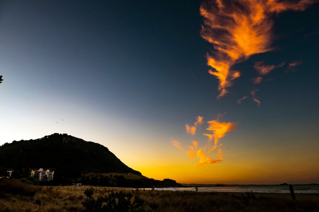
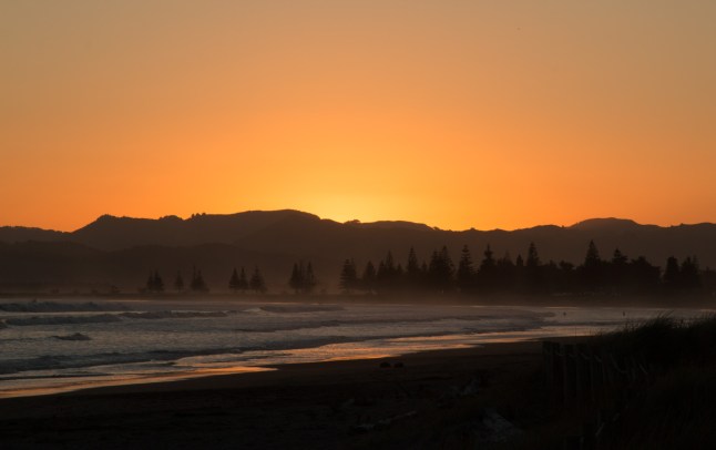
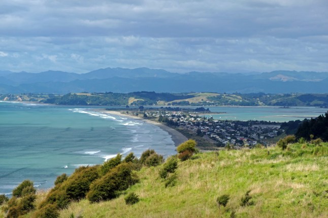
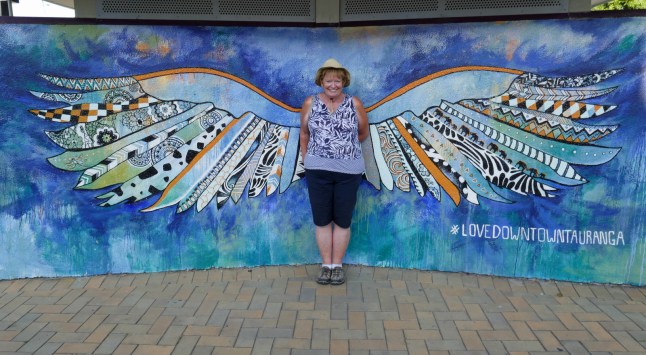
Today 28th feb is the last day of summer in NZ, but thankfully it is still hot and dry.

We travelled to see Lake Rotorua. The road does not closely follow the lakeside so we could not get the views we had hoped for.P1011930

We continued along the route 5 past the blue and green lakes. We reached a view point where you can view both lakes, the blue to the left and the green to the right. Depending on which way you stand!

The blue lakes colour is due to white salts on its bottom and the green lake is shallower and has a sandy bottom. The green lake is sacred to the Maori and so no fishing or boating is allowed.

Just past the Blue and Green lakes near lake Tarawera we found the buried village.

It was a tourist spot in the 1800s as there were pink and white terraces made of salts. On June 10th 1886 Mount Tarawera volcano erupted and buried 3 villages and the beautiful terraces. All were covered in 2 metres of thick volcanic material. More than 150 people died there.

One family for 80 years has excavated this spot. There is a museum and a route to follow where the village is being dug out. It was very interesting.                                                          This is the end of a maori canoe they dug up

P1011937P1011936

But the best part of the visit was the waterfall there. The 30 metre Wairere Falls. There are signs saying how steep the walk down and up again is. Needless to say we 2 adventurers went for it…..

Our legs still recovering from Cathedral Coves were challenged again. We did it!P1011957P1011956P1011955P1011953P1011947

The steps were all different heights and cut into the hillside steeply all the way down. The spray from the waterfall crashes down in 3 stages. The water falls down in different channels over the sheer rocks. It was spectacular to see.

Back at the top was a tea shop in the museum. Grandad wished he’d taken his tripod to photo the waterfall. So he went to get it ,and left me drinking lemonade, to return down the steep path to the bottom of the falls and back once more. I admire his dedication.

Later we went along the road further to see the view of the caldera ( volcano hole). It is a hugearea covered in forest. You could see the lake in the distance. The water from the falls eventually feed into this Lake TaraweraP1011965P1011960

We travelled back past acres of fruit trees, mainly kiwi fruits.

Now we are in the motel we feel exhausted, a bit too much sun too I think.

Hope my photos show the magnificence of what we saw xxxx

THIS IS GRANDADS FABULOUS ONE317A7100aaaaa

April Fools day tomorrow xxxxx Hope you all 6 try out to trick mummy and daddy and brothers and sisters! And in Sheffield, your friends Anona!

That was a great April’s Fool by my mistake 😉

Towards Tauranga

P1011910A long siren went off at 4.30am this morning in the town. It wasn’t the fire dept siren it had a different sound. We decided as no one else moved it was ok. Tsunami warning did come to mind!

To get to Tauranga you go down a Gorge. It is famous for gold mining. We stopped here and walked down the gorge above the river.IMG_9411IMG_9408IMG_9401IMG_9399IMG_9395

” The Karangahake Gorge lies between the Coromandel and Kaimai ranges, at the southern end of the Coromandel Peninsula in New Zealand’s North Island. A sharply winding canyon, it was formed by the Ohinemuri River. State Highway 2 passes through this gorge between the towns of Paeroa, Waikino and Waihi.” I copied this from Wikipedia

We visited the 3 towns mentioned and at the first one Paeroa, a” world famous” soft drink was made with spring water and lemons.  Have you ever heard of it?IMG_9385

At Waikino we parked by the sea and walked along the shore. It was another white sandy bay full of shells and sea birds and no one on it except a few families swimming in the wharf.P1011911P1011908

From Waihi onwards we saw many orchards of avocados and kiwi fruits.

Now at Tauranga we are in a smart motel close to the sea front. Grandad and I walked down to the volcano by the sea and watched the sunset. P1011929P1011914

P1011925

Happy Birthday Blandine hope you have a lovely day xxx