 Today 28th feb is the last day of summer in NZ, but thankfully it is still hot and dry.
We travelled to see Lake Rotorua. The road does not closely follow the lakeside so we could not get the views we had hoped for.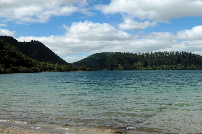
We continued along the route 5 past the blue and green lakes. We reached a view point where you can view both lakes, the blue to the left and the green to the right. Depending on which way you stand!


The blue lakes colour is due to white salts on its bottom and the green lake is shallower and has a sandy bottom. The green lake is sacred to the Maori and so no fishing or boating is allowed.


Just past the Blue and Green lakes near lake Tarawera we found the buried village.
It was a tourist spot in the 1800s as there were pink and white terraces made of salts. On June 10th 1886 Mount Tarawera volcano erupted and buried 3 villages and the beautiful terraces. All were covered in 2 metres of thick volcanic material. More than 150 people died there.
One family for 80 years has excavated this spot. There is a museum and a route to follow where the village is being dug out. It was very interesting. This is the end of a maori canoe they dug up

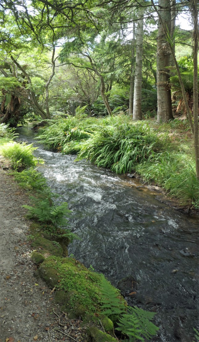
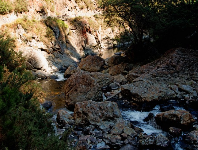
But the best part of the visit was the waterfall there. The 30 metre Wairere Falls. There are signs saying how steep the walk down and up again is. Needless to say we 2 adventurers went for it…..
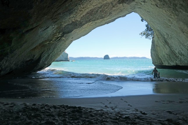
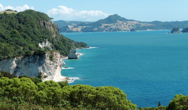
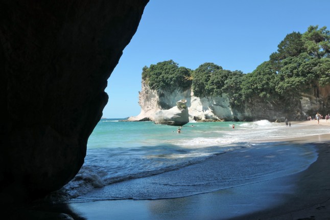
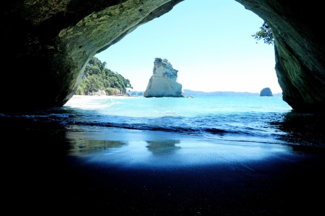
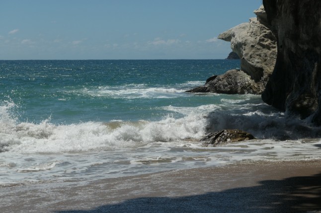
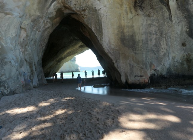
Our legs still recovering from Cathedral Coves were challenged again. We did it!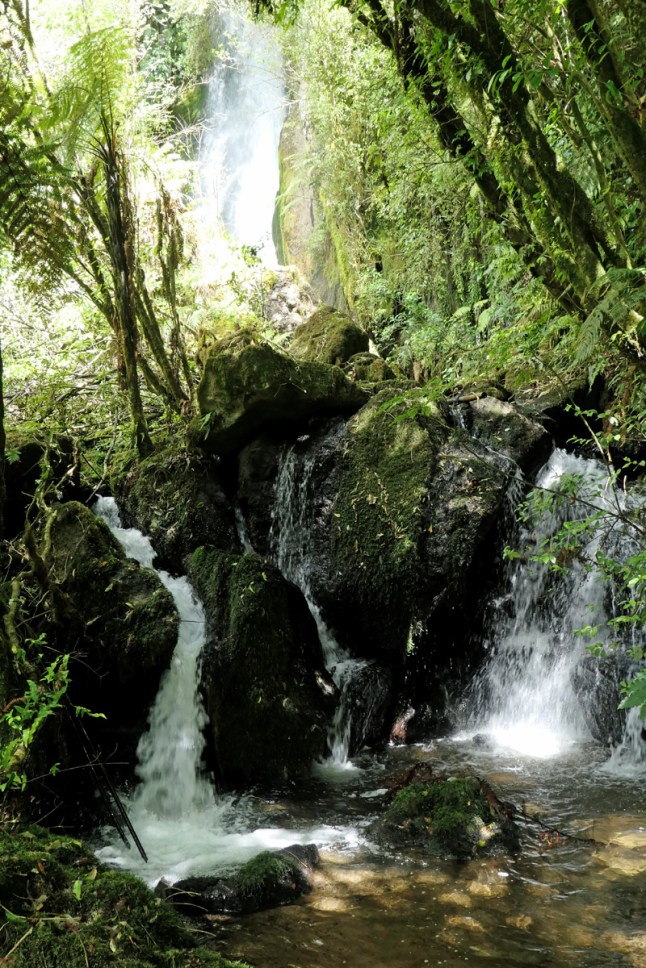
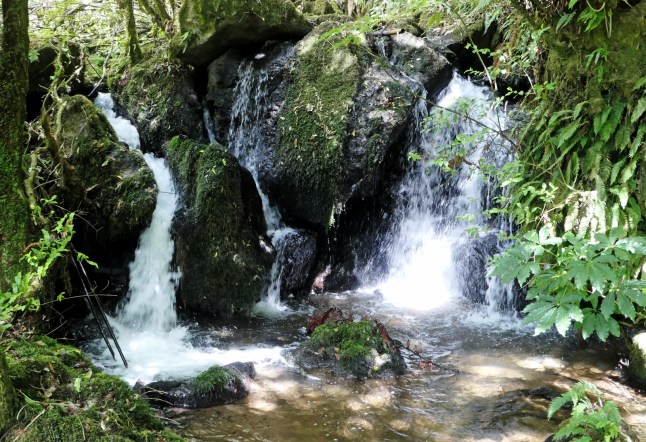
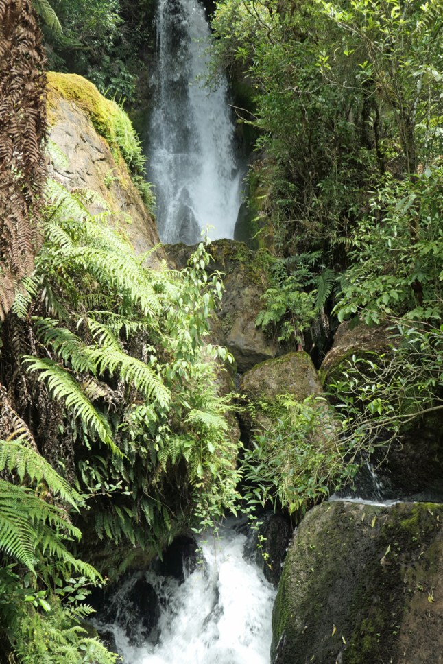


The steps were all different heights and cut into the hillside steeply all the way down. The spray from the waterfall crashes down in 3 stages. The water falls down in different channels over the sheer rocks. It was spectacular to see.
Back at the top was a tea shop in the museum. Grandad wished he’d taken his tripod to photo the waterfall. So he went to get it ,and left me drinking lemonade, to return down the steep path to the bottom of the falls and back once more. I admire his dedication.
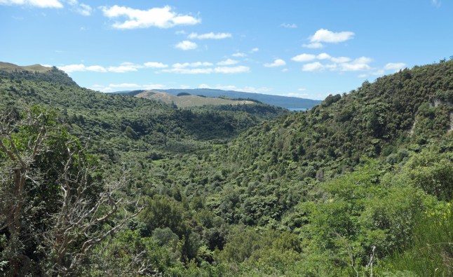
Later we went along the road further to see the view of the caldera ( volcano hole). It is a hugearea covered in forest. You could see the lake in the distance. The water from the falls eventually feed into this Lake Tarawera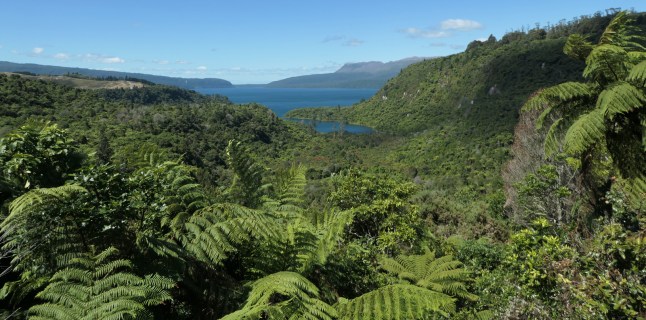
We travelled back past acres of fruit trees, mainly kiwi fruits.
Now we are in the motel we feel exhausted, a bit too much sun too I think.
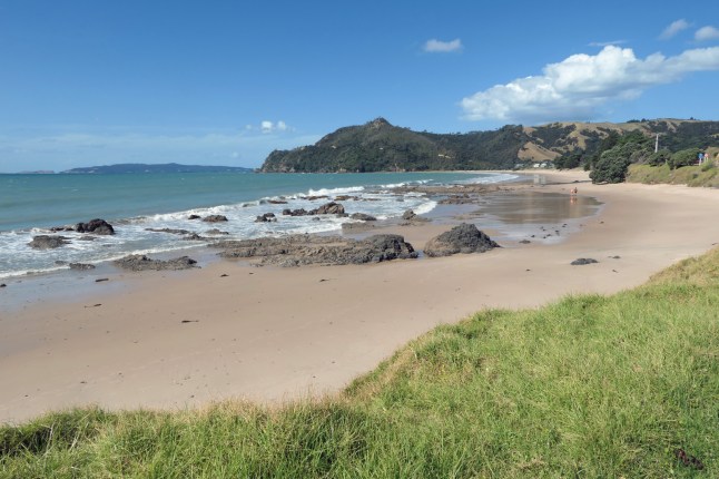
Hope my photos show the magnificence of what we saw xxxx
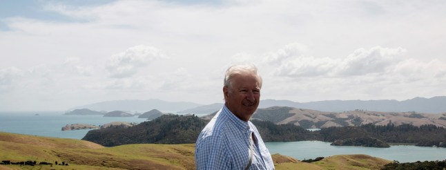
THIS IS GRANDADS FABULOUS ONE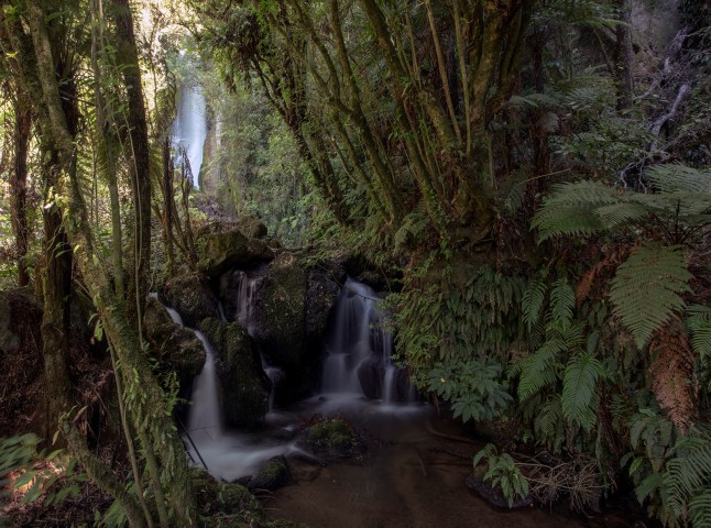
April Fools day tomorrow xxxxx Hope you all 6 try out to trick mummy and daddy and brothers and sisters! And in Sheffield, your friends Anona!
That was a great April’s Fool by my mistake 😉
 A long siren went off at 4.30am this morning in the town. It wasn’t the fire dept siren it had a different sound. We decided as no one else moved it was ok. Tsunami warning did come to mind!


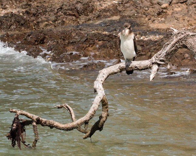
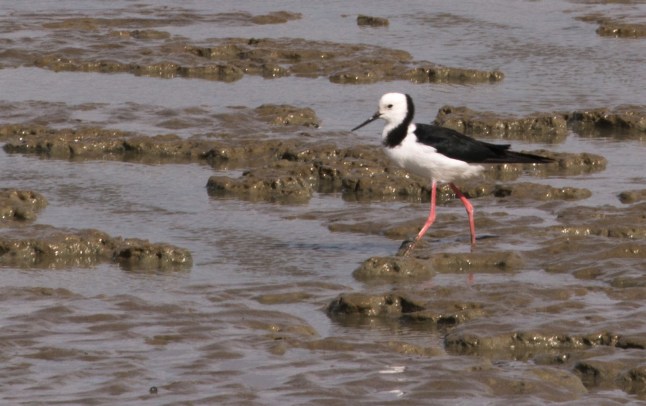
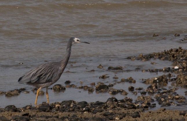
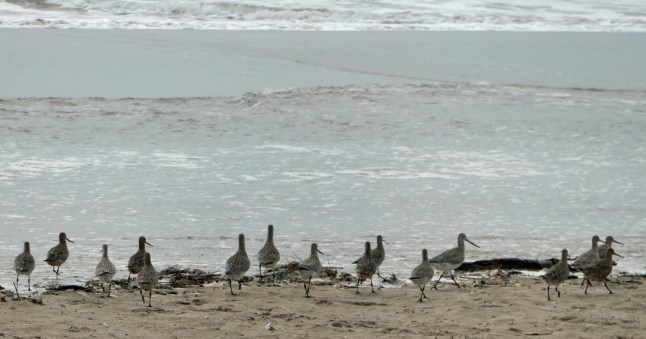
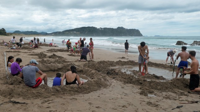
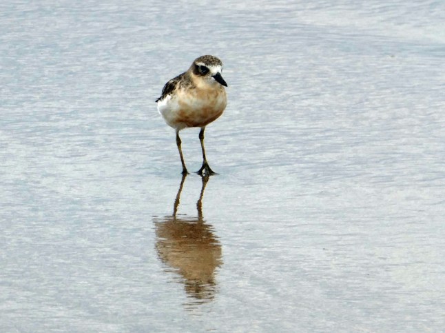
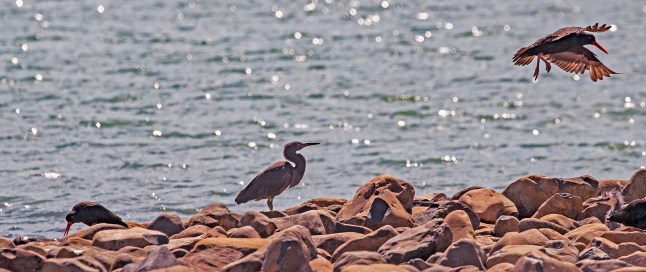 We spent the whole day birdwatching today. There is a coastline nearby all Along the Thames Firth. It has bird wetlands and reserves. Miranda is the seabird Centre. We travelled up from Thames to Clevedon, south of Auckland, where we had lunch and then back.
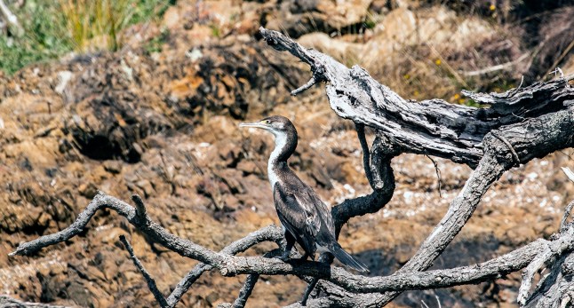
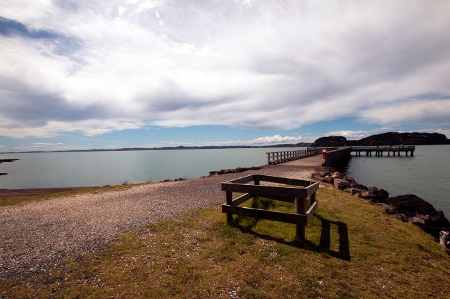


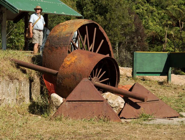
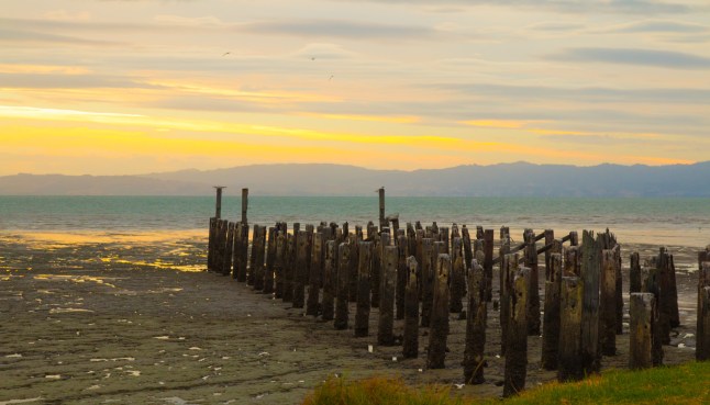 This is a silted up jetty from the 1800s in Thames tonight.
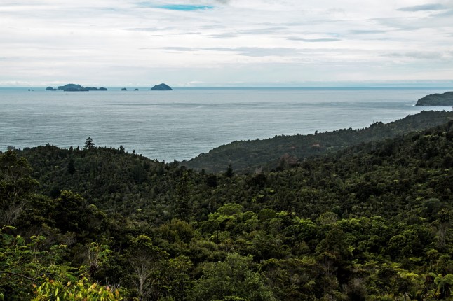 We crossed forested mountain sides to reach Pauanui. It is a shallow harbour with a long jetty stretching into the estuary.
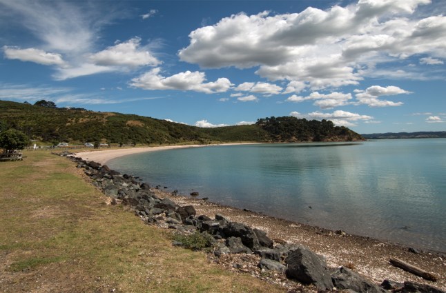
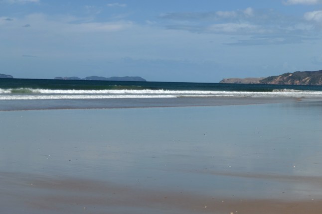
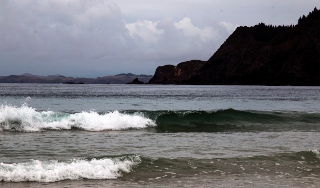
 On the sea side there was quite a strong current with surf waves.
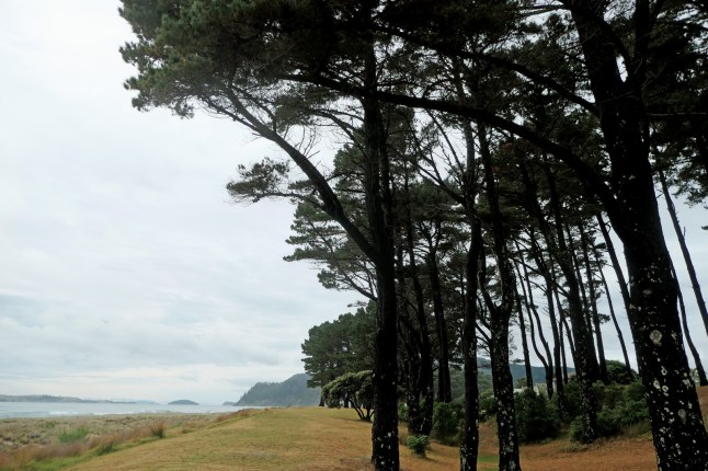


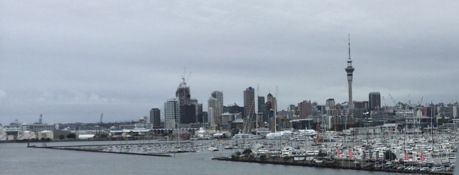
 Here is Auckland as we passed on the motorway!
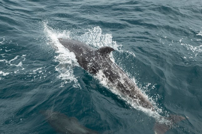

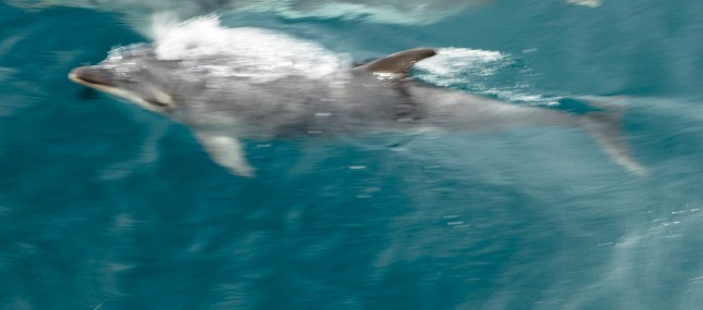
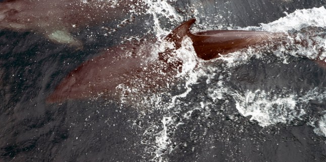
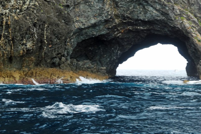
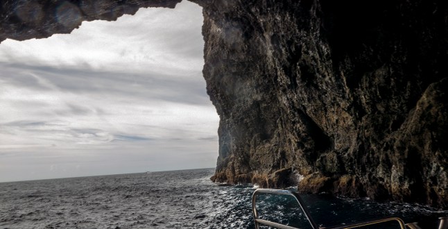
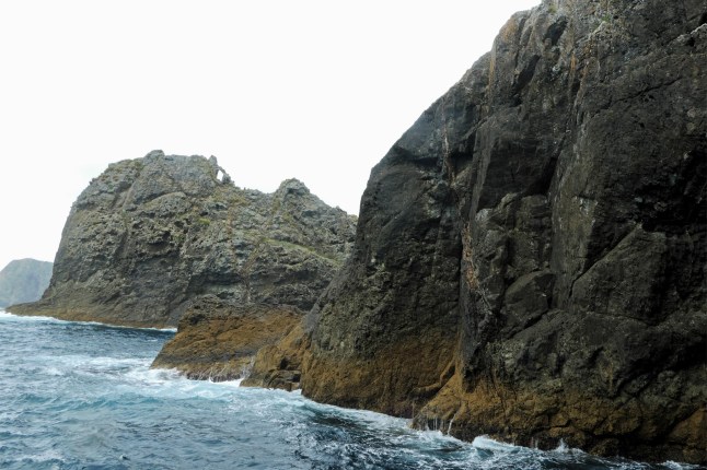
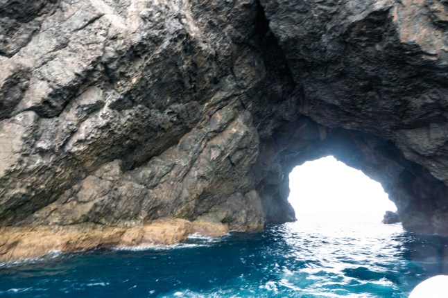
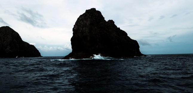
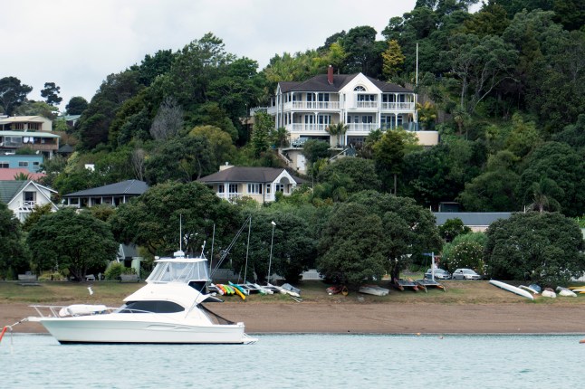
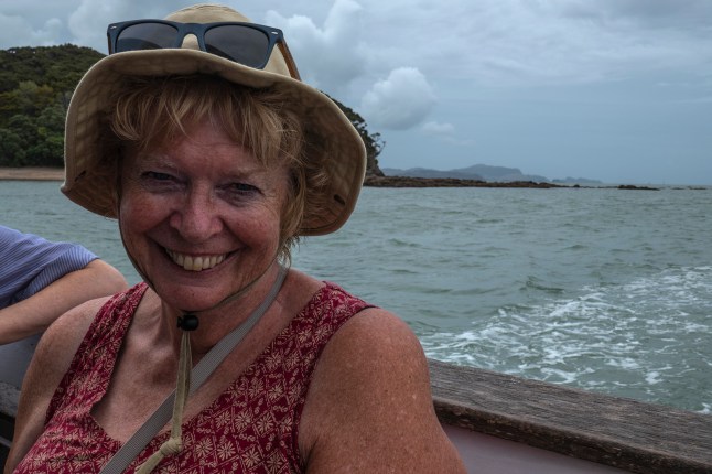
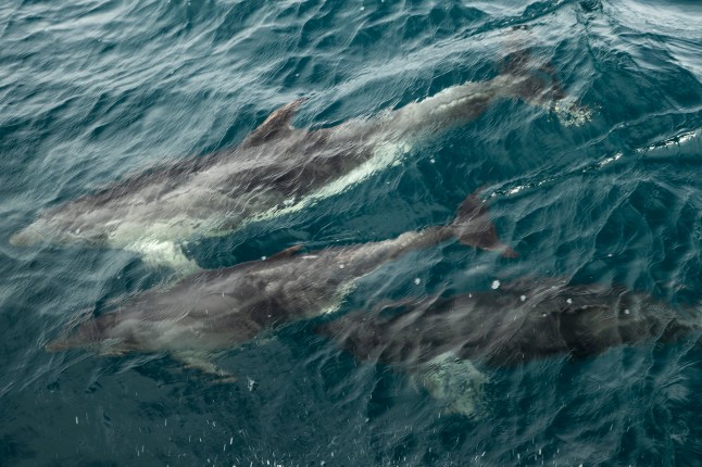 In the bay it isn’t too choppy but on the far side of the islands we met the full force of the waves in the South Pacific Ocean. I wasn’t sick as it was a one metre swell ( ideal kayaking swell for grandad, Lily and Anona.)
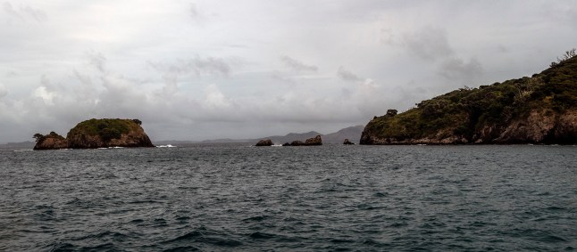
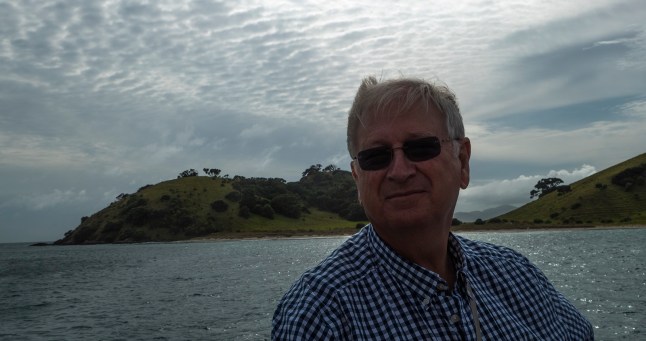


 Today we explored the area a bit more. We made a huge mistake. It was grey and raining so looking at the map we decided to drive to Russell instead of taking the ferry to Russell. (It was poor visibility and we thought it was a waste to go by sea.)

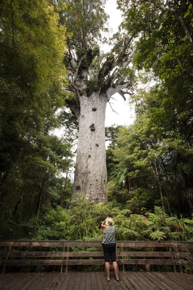
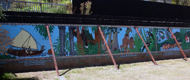
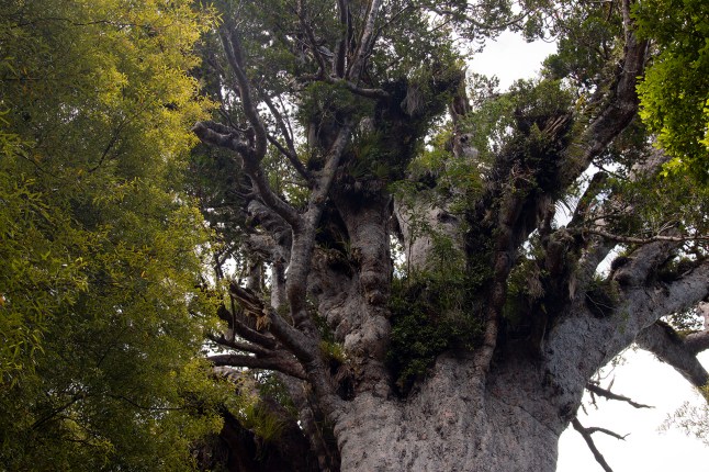
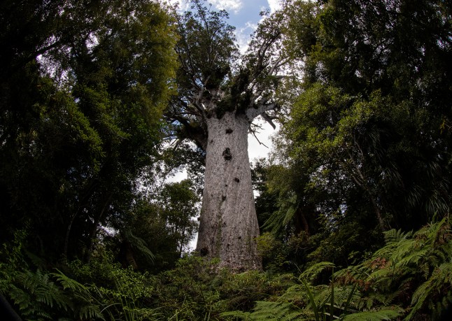
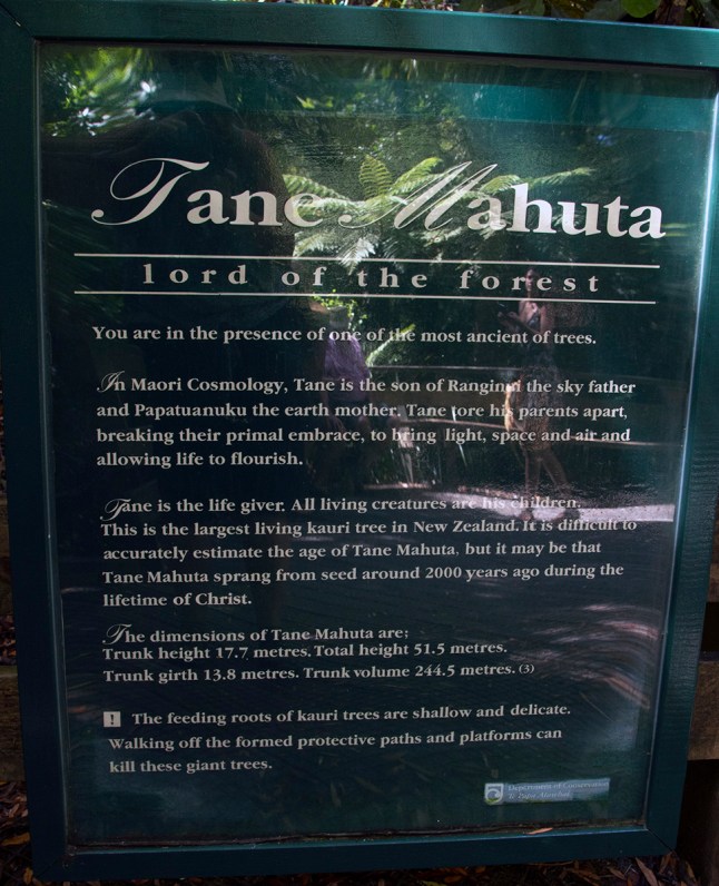
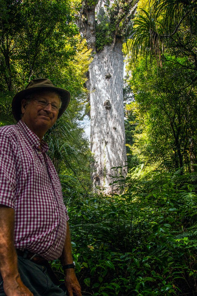
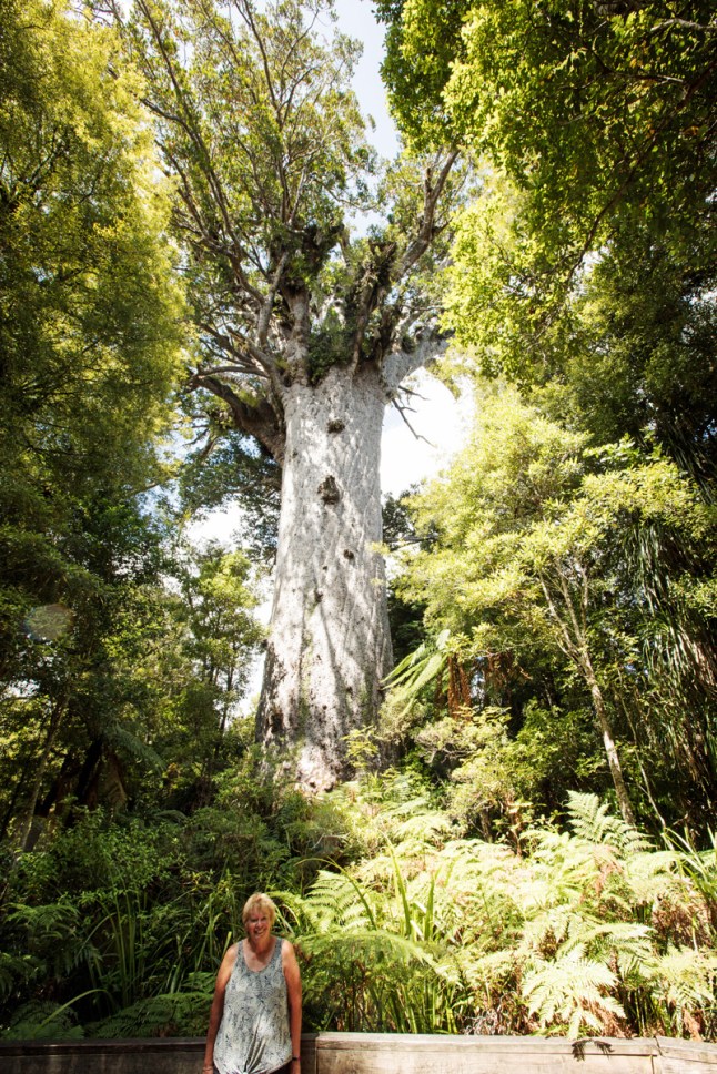 One of the main reasons we stayed north of Auckland at Bay of Islands was to be able to see the giant Kauri trees in Waipoua forest. The oldest and largest tree in NZ is there and is called Tane Mahuta.
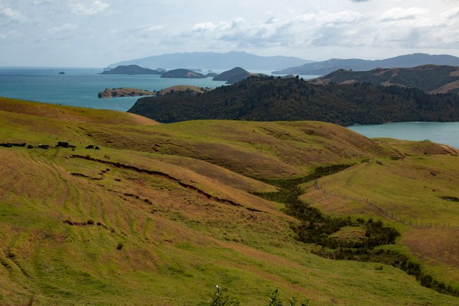
 We stopped at a town called Omapere and then walked up over the headland. Up here you could see almost 360* views.