We are now in Fjordland and its 25c and hot. the journey here was easy and as we were to early to take up our hotel room we took the road which leads to Milford Sound. we travelled along this road for about 30 miles, stopping to take photos. I’ll let the photos speak for themselves. We are in Lord of the Rings country and haven’t even seen the best yet!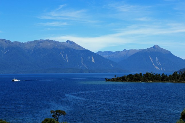
Month: February 2016
Te Waewae Bay
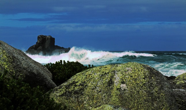
We explored Te Waewae Bay today. The gales had stopped and we expected the sea to be calmer…WRONG!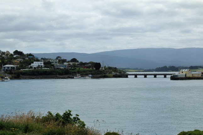
We stopped at Riverton firstly and treated ourselves to breakfast. Then we hit the coast and were amazed that the sea was even wilder than yesterday. The tide was really high and the waves were huge.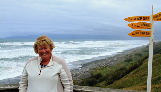
I wanted to search Gemstone Beach as I figured with the storm, gems would be washed up maybe. Well walking, we battled our way down the small cove. The sea was coming in quickly so we had to retreat to the edge of the sand near the sandstone embankments. We discovered that the stones were embedded into the bank and were washed out from there by the sea. I picked up a few stones but I don’t think they are valuable! It was quite scary near the sea.
We went to Monkey Island and with the high tide it was completely cut off and looked so different from the scene we saw yesterday at low tide.
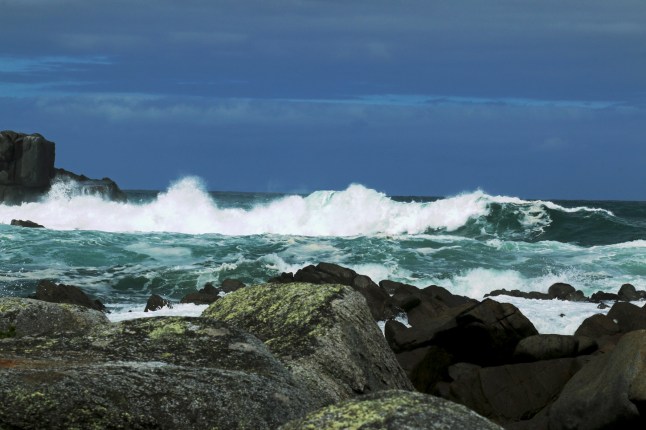
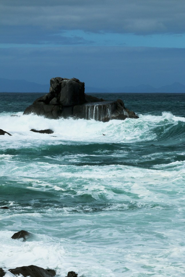
Next stop was McCracken’s Rest. The sea was wild and impressive and the wind very strong. The trees all along this road are bent right over showing the effect of the prevailing wind.
We drove to Cosy Nook. Here we took fabulous photos of the waves crashing on the rocks. Brilliant fun!


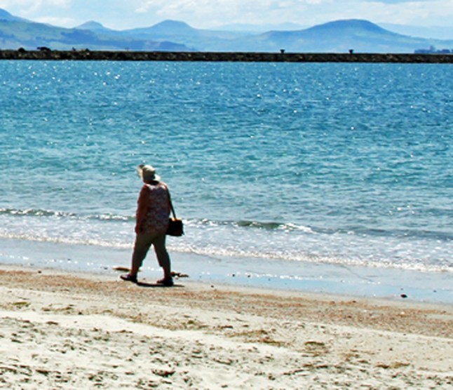
We went back to Riverton Rocks to a café over looking the sea and watched the surfers, while eating puddings with icecream, yummy
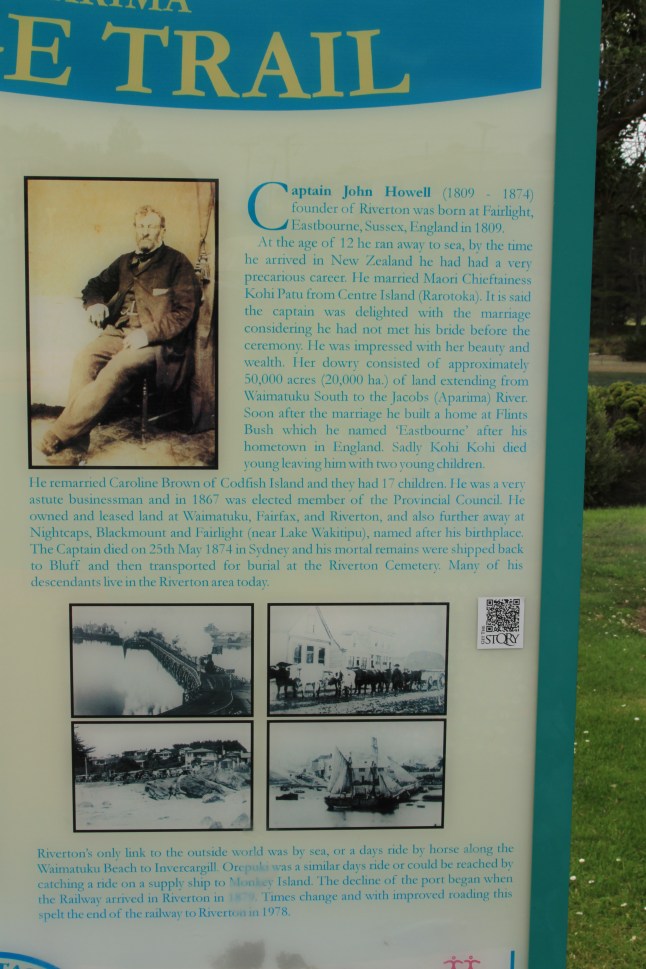
At Riverton we went to the beach at the head of the river and found the origins of the town.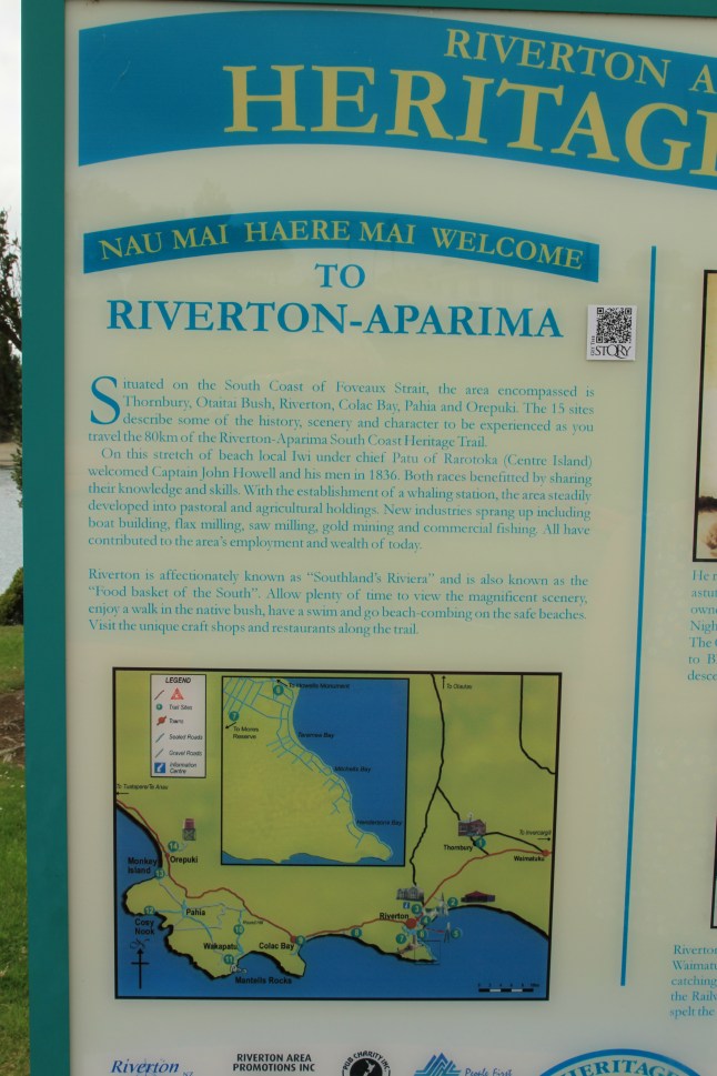
We move on tomorrow to Fjordland so exciting!!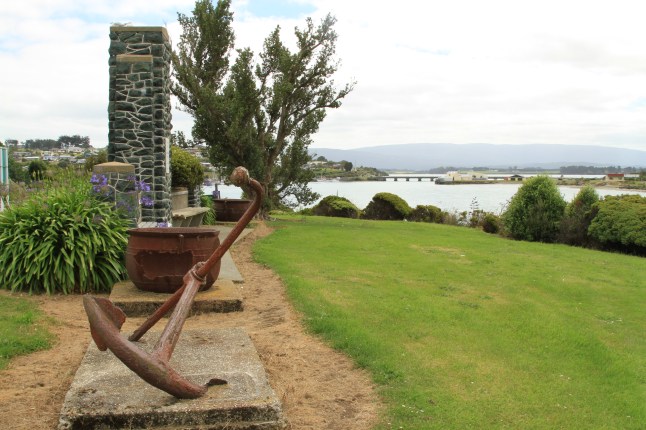
From Invercargill to Te Anauand back via lakes and coast.
Last night we had an ongoing gale which is still with us 24 hours later!
We set off early and drove straight to Te Anau with no stops. The road went North and then West before Lumsden to Te Anau. The area has lush rolling green hills, mostly farm lands. The road was easy and pleasant to drive along. We saw lots of birds of prey, even one feeding on a possum at the side of the road.
At the Te Anau information centre, we arranged a trip via “a jucy van” combined with a boat trip from the centre to travel down Milton Sound fjord next Tuesday…so excited! It will be better for Vince as not driving, he can enjoy the scenery more and take photos as the van stops at all the view points.


We spent the rest of the morning and afternoon around Lake Te Anau and then Lake Manapouri.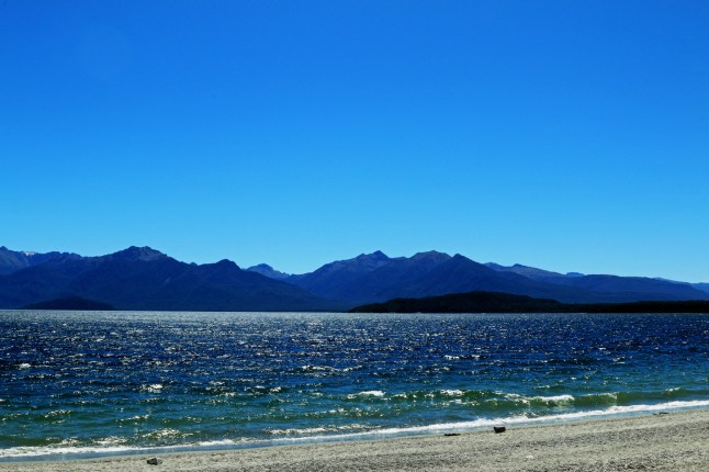
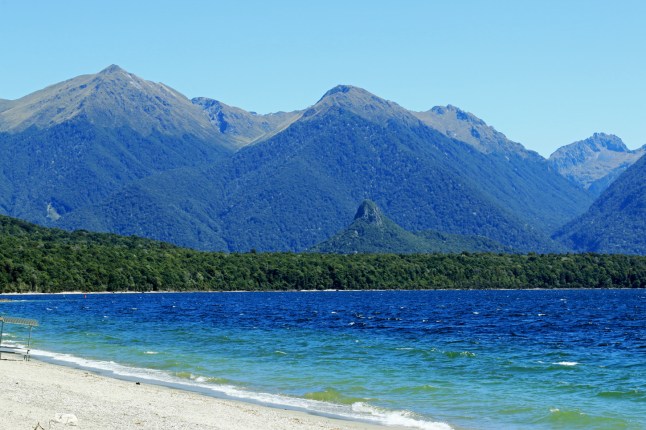 They are both backed by the huge mountains of fjord land. Felt like the beginnings of Middle Earth!
It was a very hot and clear day but very windy. The lakes had waves on them and it looked like the sea.
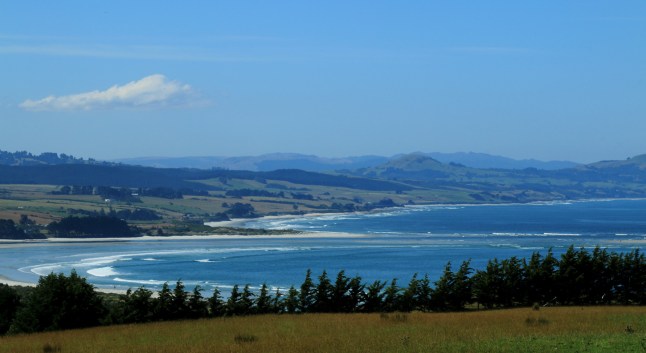
We took the Southern scenic route back and really saw the huge surf waves. They were like the ones we saw in California!


We stopped at Cliftden Suspension bridge. It was at one time the largest suspension bridge in NZ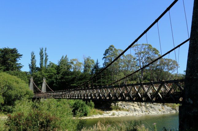
Hope you like my photos. XXXX love to you all xx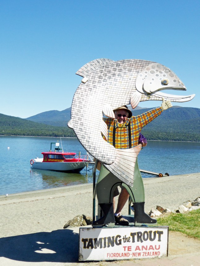 Grandad caught a fish!!!
The Southlands.. Invercargill to Colac Bay calling in at THORNBURY NZ
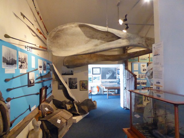
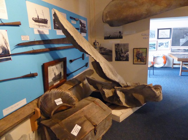
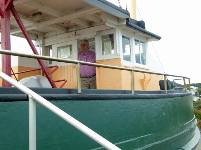
 This morning was slightly cooler and overcast with spots of rain and showers at times. We drove South along the headland to Bluff. There is a huge port there and an aluminium smelter there. We went to the Maritime museum. Vince was very interested in everything I here and I loved the whale bones and ships furniture. Here is granddad getting back to his roots like Otis did!
We climbed the steep hill for a view of the area and then went onto Tiwai point at the end of this headland. Everyone has their photo taken next to this sign. We are almost 9000 miles from London.


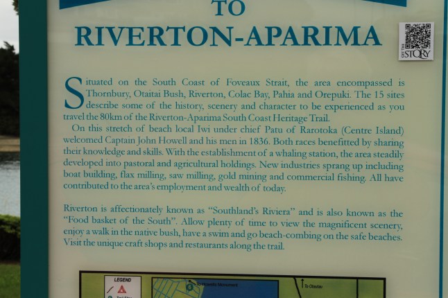
Back through Invercargill we continued along the south coast. We visited Thornbury. It is a small village with a school, Presbyterian church, a museum, a pub, an impressive war memorial and several houses and farms. I need to do some research on it I think.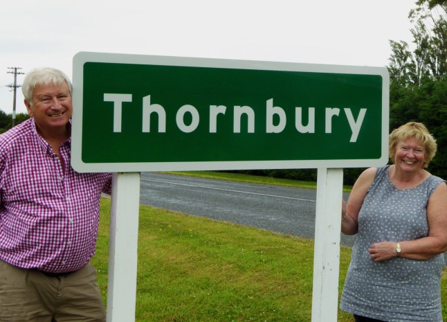


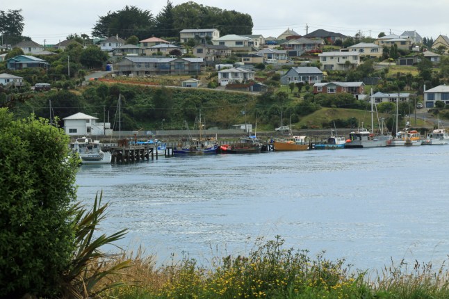
Riverton came next and was a town on both sides of an estuary with a bridge right the way across. it was a bit run down but a nice centre for the area.
As we followed the scenic coastal way we found Monkey Island and the coast of stones which was full of large rocks, pebbles, shells and sea birds nesting.


We sat on a bench eating fish and chips out of the paper at Riverton on the way back to our motel. I haven’t done that for years!
A very lovely day 25*c and not too hot xxxx
The Catlins.. woodlands meet the sea
We spent a whole day slowly travelling down the scenic coastal way between Dunedin and Invercargill with a tourist map to guide us to the best sites. We felt like we were saying done that ticked that off. If we have time we will go back to some of the bays.
The whole day got hotter and hotter from 21c at Dunedin to 33c at Invercargill. Thank .goodness for air conditioning in the car.
We headed down the coast road at Balclutha and drove through wooded valleys and passed farm after farm.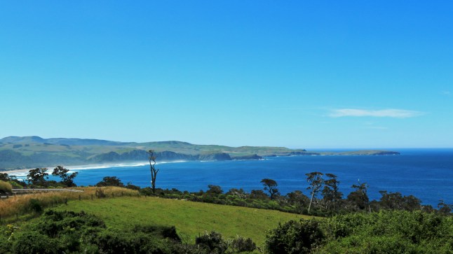
We passed sign to Cannibal Bay!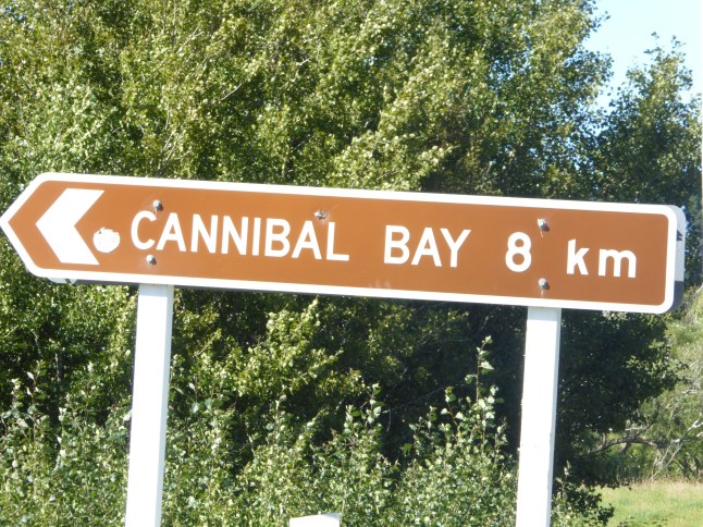 At Okawa we visited the museum which told the story of the history of the area with all the ship wrecks and the settlers stories.
First stop was a waterfall past Owaka; Matai Falls. We walked down below it in a rainforest area. It was very hot and humid there. Using a tripod ince got great pictures of the waterfall.


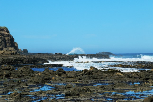
Next we saw spouting cave. It was quite impressive when the sea spouted up from the caves.
At Florence Hill Lookout we got views of Tautuku Bay. There is no road down to it. the beach was deserted.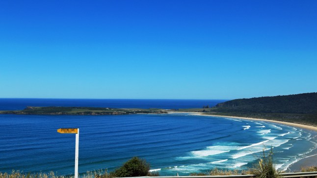
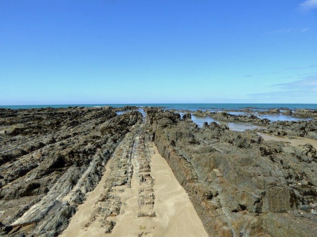
we passed by the Cathedral caves as the tide was not low enough to view them. buty Went over the Chaslands to Waikawa. The Chaslands are hilly and go through forested areas. At Waikawa we went to Curio Bay. There is a petrified forest in the bay. You can see the tree stumps and trees laid down, all in their rock petrification. The bay was so different!
The last stretch of the Catlins was pure rainforest and very hot!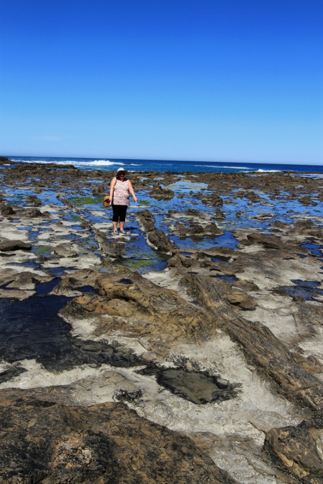
From Fortrose to Invercargill the terrain is flat and a huge wetland with many birds to see there.
Now we are in our new motel and it is like a little apartment with a sitting room and kitchen area, a bathroom, a toilet, and a bedroom. Very nice and comfortable it will suit us for 5 nights while we explore the area. Intention is to do the south coast visit Thornbury!! and Clifton Suspension Bridge! Then Bluff and then up to Te Anau our next stop.
Love you all and am missing you. Matthew and Alex am thinkingof you as you goto Cleethorpes xxxx
PS This is Grandads favourite land

Oh and this looks like a lake but it is tidal and inland
Last day around Dunedin and Otago Peninsula
As today is our last day in this wonderful area, we revisited all our favourite spots around Dunedin and then went up to Signal Hill.
We went for coffee in Portobello and got chatting to a lady from Barnstaple who has a son living here. She spends every Jan and Feb here and this is the coldest wettest Jan for 6 years! So we will have to enjoy this weeks warm weather as it changes back to rain on Thursday.
Along Aramoana Road we found another spoonbill and got even better photos of this one as it was much closer. They are fascinating to watch as they shovel their beak side to side in the mud in search of food.


We walked all along the spit and there were thousands of shells there. A dead baby shark had been washed up. That was interesting.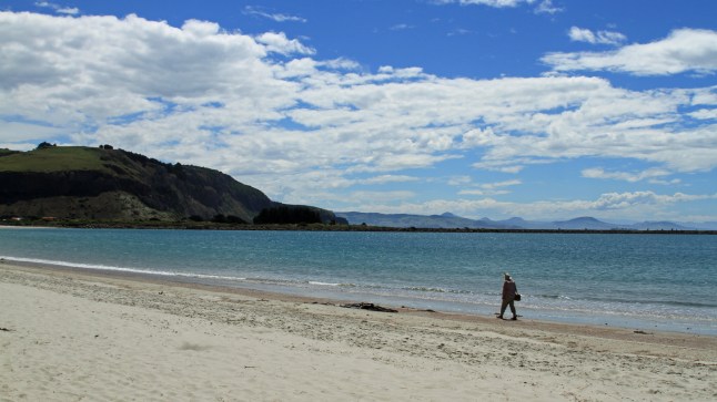
Back in Dunedin we went up the very windy steep road to the top of Signal Hill. There was an amazing view over the city and coast from up there. The monument was to commemorate the early settlers. In 1941 it was the centenary of the town of Dunedin. Rock from Edinburgh was sent here to celebrate this. (In wartime ?!)
Dunedin was built to be like Edinburgh and Dunedin is the celtic name for Edinburgh


Tomorrow we travel 26 miles to Inverscargill opposite Stewart Island (more Scottish names)
Old Lighthouse Nugget Point
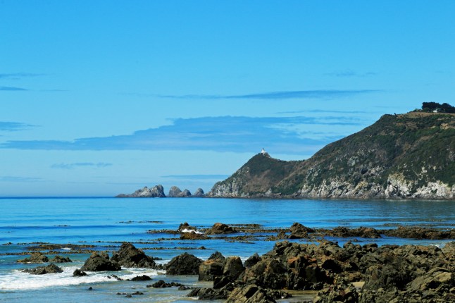
 Today we headed to the South as far as Nuggets Point. The sun was out and everywhere looked clear and fresh.
The Southern scenic route takes you over forested hills and has view points with picnic areas.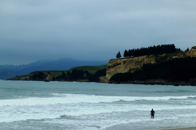
We followed a gravel road up towards the old lighthouse at Nuggets point. We didn’t get to the top of the hills as we didn’t feel safe so went half way to view where the yellow eyed penguins have their nests. They are protected and you view them from a hide. You cannot go down to the beach after 3 pm when they appear each day.
We ate a chowder lunch by one of the beautiful bays at Kaka Point.I tried to find a Paua shell on the rocks, but may have to buy one.


We saw a takeaway van called “Jamaican me hungry” sounds a good slogan.
We spent a while viewing where the River Waipori meets the sea at Taieri. There is an island in the middle of the bay which was important to the Māori people then was a whaling station and then became a centre for helping boats into the river on the way to the gold rush.


we had a lazy sun worshipping day! Walking along long sandy beaches and looking in rock pools. We saw a seal and a squid
More pics from today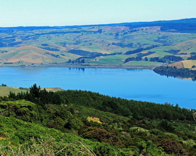
 a fence made of paua shells.
